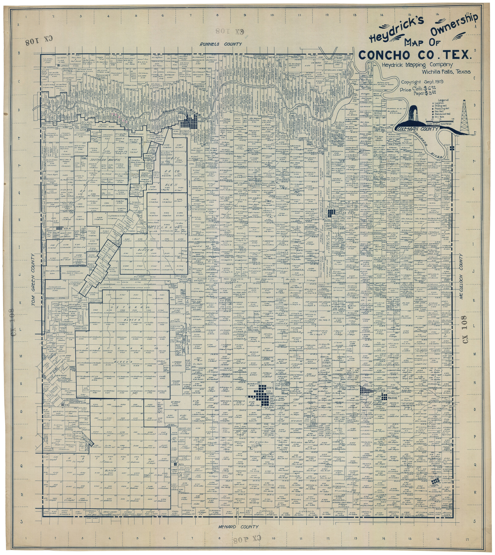
Heydrick's Ownership Map of Concho Co. Tex.
CX108
-
Map/Doc
92616
-
Collection
Twichell Survey Records
-
Object Dates
1919 (Creation Date)
-
Counties
Castro
-
Subjects
County
-
Height x Width
33.9 x 37.9 inches
86.1 x 96.3 cm
Part of: Twichell Survey Records
Borden County

Print $20.00
- Digital $50.00
Borden County
1922
Size 37.2 x 41.6 inches
Map/Doc 92456
Map of Parts of Dawson and Borden Counties

Print $20.00
- Digital $50.00
Map of Parts of Dawson and Borden Counties
Size 23.0 x 17.7 inches
Map/Doc 90627
Borden County

Print $20.00
- Digital $50.00
Borden County
1922
Size 36.8 x 41.7 inches
Map/Doc 92457
Sketch in Cochran County, Texas

Print $20.00
- Digital $50.00
Sketch in Cochran County, Texas
1949
Size 21.8 x 21.0 inches
Map/Doc 92495
V. P. Hadsell's Subdivision of Southwest Quarter Section 27, Block D5

Print $20.00
- Digital $50.00
V. P. Hadsell's Subdivision of Southwest Quarter Section 27, Block D5
Size 18.4 x 20.0 inches
Map/Doc 92868

[Sketch Number 1, Block LC2 and Adjacent Leagues]
![91476, [Sketch Number 1, Block LC2 and Adjacent Leagues], Twichell Survey Records](https://historictexasmaps.com/wmedia_w700/maps/91476-1.tif.jpg)
Print $20.00
- Digital $50.00
[Sketch Number 1, Block LC2 and Adjacent Leagues]
Size 25.6 x 40.8 inches
Map/Doc 91476
Lamb-Bailey County Line

Print $40.00
- Digital $50.00
Lamb-Bailey County Line
Size 15.1 x 52.6 inches
Map/Doc 89636
Plat of Fee Land Adjoining the Town of Lovington, New Mexico

Print $20.00
- Digital $50.00
Plat of Fee Land Adjoining the Town of Lovington, New Mexico
Size 24.2 x 18.4 inches
Map/Doc 92422
Reconnaissance Map, Roby Sheet

Print $20.00
- Digital $50.00
Reconnaissance Map, Roby Sheet
1893
Size 17.0 x 20.8 inches
Map/Doc 90869
Portion of Scurry County

Print $20.00
- Digital $50.00
Portion of Scurry County
1882
Size 35.1 x 25.3 inches
Map/Doc 92923
[Capitol Leagues 217-228, 238, and vicinity]
![90695, [Capitol Leagues 217-228, 238, and vicinity], Twichell Survey Records](https://historictexasmaps.com/wmedia_w700/maps/90695-1.tif.jpg)
Print $20.00
- Digital $50.00
[Capitol Leagues 217-228, 238, and vicinity]
Size 23.8 x 12.9 inches
Map/Doc 90695
You may also like
Outer Continental Shelf Leasing Maps (Louisiana Offshore Operations)

Print $20.00
- Digital $50.00
Outer Continental Shelf Leasing Maps (Louisiana Offshore Operations)
1955
Size 23.3 x 15.5 inches
Map/Doc 76094
Knox County Boundary File 1

Print $24.00
- Digital $50.00
Knox County Boundary File 1
Size 14.2 x 8.6 inches
Map/Doc 64998
Working Sketch in Hutchinson County

Print $20.00
- Digital $50.00
Working Sketch in Hutchinson County
1922
Size 16.9 x 13.6 inches
Map/Doc 91251
Flight Mission No. DAG-19K, Frame 62, Matagorda County

Print $20.00
- Digital $50.00
Flight Mission No. DAG-19K, Frame 62, Matagorda County
1952
Size 16.2 x 16.1 inches
Map/Doc 86389
Oldham County Sketch File 11

Print $26.00
- Digital $50.00
Oldham County Sketch File 11
Size 13.0 x 8.5 inches
Map/Doc 33247
Hartley County Boundary File 5

Print $6.00
- Digital $50.00
Hartley County Boundary File 5
Size 12.7 x 8.2 inches
Map/Doc 54515
Geographical, Statistical, and Historical Map of the District of Columbia

Print $20.00
- Digital $50.00
Geographical, Statistical, and Historical Map of the District of Columbia
Size 18.0 x 22.4 inches
Map/Doc 97102
Culberson County Sketch File 5

Print $4.00
- Digital $50.00
Culberson County Sketch File 5
Size 9.4 x 8.2 inches
Map/Doc 20136
St. Louis Southwestern Railway of Texas

Print $20.00
- Digital $50.00
St. Louis Southwestern Railway of Texas
1906
Size 22.5 x 30.5 inches
Map/Doc 64449
Crosby County Sketch File 2

Print $22.00
- Digital $50.00
Crosby County Sketch File 2
Size 8.5 x 9.9 inches
Map/Doc 19991
Erath County Sketch File 3

Print $4.00
- Digital $50.00
Erath County Sketch File 3
1853
Size 13.0 x 8.3 inches
Map/Doc 22255
Flight Mission No. DQO-8K, Frame 75, Galveston County

Print $20.00
- Digital $50.00
Flight Mission No. DQO-8K, Frame 75, Galveston County
1952
Size 18.7 x 22.5 inches
Map/Doc 85179