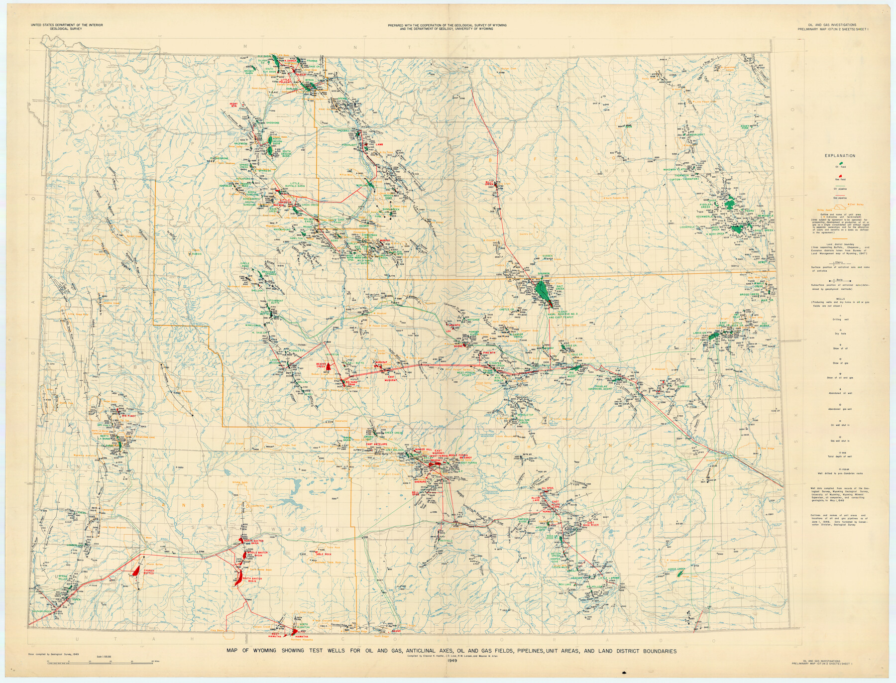
Map of Wyoming Showing Test Wells for Oil and Gas, Anticlinal Axes, Oil and Gas Fields, Pipeline, Unit Areas and Land District Boundaries
-
Map/Doc
89886
-
Collection
Twichell Survey Records
-
Object Dates
1949 (Creation Date)
-
People and Organizations
Eleanor K. Keefer (Compiler)
Maxine W. Allen (Compiler)
R.M. Larsen (Compiler)
J.D. Love (Compiler)
-
Subjects
Energy Surface
-
Height x Width
55.2 x 42.6 inches
140.2 x 108.2 cm
-
Comments
Oil and Gas Investigations Preliminary Map 107 (in 2 Sheets) Sheet 1
Part of: Twichell Survey Records
[Sketch of Berry Doolittle, C. B. Emmons. R. D. Price and other surveys]
![90213, [Sketch of Berry Doolittle, C. B. Emmons. R. D. Price and other surveys], Twichell Survey Records](https://historictexasmaps.com/wmedia_w700/maps/90213-1.tif.jpg)
Print $20.00
- Digital $50.00
[Sketch of Berry Doolittle, C. B. Emmons. R. D. Price and other surveys]
Size 25.8 x 19.7 inches
Map/Doc 90213
[H. & T. C. RR. Company, Block 47]
![91150, [H. & T. C. RR. Company, Block 47], Twichell Survey Records](https://historictexasmaps.com/wmedia_w700/maps/91150-1.tif.jpg)
Print $20.00
- Digital $50.00
[H. & T. C. RR. Company, Block 47]
1874
Size 20.4 x 12.5 inches
Map/Doc 91150
[Pencil sketch of Wm. Rivers survey]
![91969, [Pencil sketch of Wm. Rivers survey], Twichell Survey Records](https://historictexasmaps.com/wmedia_w700/maps/91969-1.tif.jpg)
Print $3.00
- Digital $50.00
[Pencil sketch of Wm. Rivers survey]
Size 9.9 x 16.1 inches
Map/Doc 91969
Map of the Survey of the 100th Meridian of Longitude west of Greenwich beginning at Red River and extending to the parallel 36 1/2 degrees north latitude

Print $40.00
- Digital $50.00
Map of the Survey of the 100th Meridian of Longitude west of Greenwich beginning at Red River and extending to the parallel 36 1/2 degrees north latitude
Size 11.4 x 112.2 inches
Map/Doc 93192
[Sketch of Randall County]
![91757, [Sketch of Randall County], Twichell Survey Records](https://historictexasmaps.com/wmedia_w700/maps/91757-1.tif.jpg)
Print $20.00
- Digital $50.00
[Sketch of Randall County]
Size 21.4 x 18.5 inches
Map/Doc 91757
Sketch in Hockley County, Texas

Print $20.00
- Digital $50.00
Sketch in Hockley County, Texas
Size 10.7 x 31.4 inches
Map/Doc 91199
Sur. Sketch S. F. 6855

Print $20.00
- Digital $50.00
Sur. Sketch S. F. 6855
Size 20.2 x 10.2 inches
Map/Doc 90788
Working Sketch in Lipscomb County

Print $20.00
- Digital $50.00
Working Sketch in Lipscomb County
1910
Size 6.8 x 39.1 inches
Map/Doc 90732
Subdivision of the J. F. Carter Estate

Print $2.00
- Digital $50.00
Subdivision of the J. F. Carter Estate
Size 11.8 x 9.0 inches
Map/Doc 91279
Yoakum-Terry County Sketch

Print $20.00
- Digital $50.00
Yoakum-Terry County Sketch
Size 9.4 x 27.3 inches
Map/Doc 91977
Udell -V- Hughes Sketch

Print $20.00
- Digital $50.00
Udell -V- Hughes Sketch
Size 28.8 x 19.4 inches
Map/Doc 90481
L. A. Wells Subdivision of Sections 6-11-12-13-18, Block V, Cochran County, Tex.

Print $2.00
- Digital $50.00
L. A. Wells Subdivision of Sections 6-11-12-13-18, Block V, Cochran County, Tex.
Size 6.7 x 8.4 inches
Map/Doc 90441
You may also like
Map of Panola County

Print $20.00
- Digital $50.00
Map of Panola County
1855
Size 20.4 x 19.1 inches
Map/Doc 3939
Sutton County Sketch File 28

Print $46.00
- Digital $50.00
Sutton County Sketch File 28
1934
Size 37.2 x 17.9 inches
Map/Doc 12385
Railroad Track Map, H&TCRRCo., Falls County, Texas

Print $4.00
- Digital $50.00
Railroad Track Map, H&TCRRCo., Falls County, Texas
1918
Size 11.8 x 18.6 inches
Map/Doc 62836


Robertson County Sketch File 3

Print $22.00
- Digital $50.00
Robertson County Sketch File 3
1860
Size 12.6 x 15.8 inches
Map/Doc 35350
Calcasieu Pass to Sabine Pass

Print $20.00
- Digital $50.00
Calcasieu Pass to Sabine Pass
1976
Size 44.6 x 35.3 inches
Map/Doc 69813
Louisiana and Texas Intracoastal Waterway, Section 7, Galveston Bay to Brazos River and Section 8, Brazos River to Matagorda Bay

Print $20.00
- Digital $50.00
Louisiana and Texas Intracoastal Waterway, Section 7, Galveston Bay to Brazos River and Section 8, Brazos River to Matagorda Bay
1928
Size 30.7 x 42.9 inches
Map/Doc 61840
Coast Chart No. 210 Aransas Pass and Corpus Christi Bay with the coast to latitude 27° 12' Texas

Print $20.00
- Digital $50.00
Coast Chart No. 210 Aransas Pass and Corpus Christi Bay with the coast to latitude 27° 12' Texas
1887
Size 27.6 x 18.3 inches
Map/Doc 72790
Flight Mission No. BQR-16K, Frame 33, Brazoria County

Print $20.00
- Digital $50.00
Flight Mission No. BQR-16K, Frame 33, Brazoria County
1952
Size 18.5 x 22.3 inches
Map/Doc 84100
Reagan County Boundary File 1a

Print $50.00
- Digital $50.00
Reagan County Boundary File 1a
Size 14.4 x 8.7 inches
Map/Doc 58154
[Right of Way & Track Map, The Texas & Pacific Ry. Co. Main Line]
![64672, [Right of Way & Track Map, The Texas & Pacific Ry. Co. Main Line], General Map Collection](https://historictexasmaps.com/wmedia_w700/maps/64672.tif.jpg)
Print $20.00
- Digital $50.00
[Right of Way & Track Map, The Texas & Pacific Ry. Co. Main Line]
Size 11.0 x 18.4 inches
Map/Doc 64672