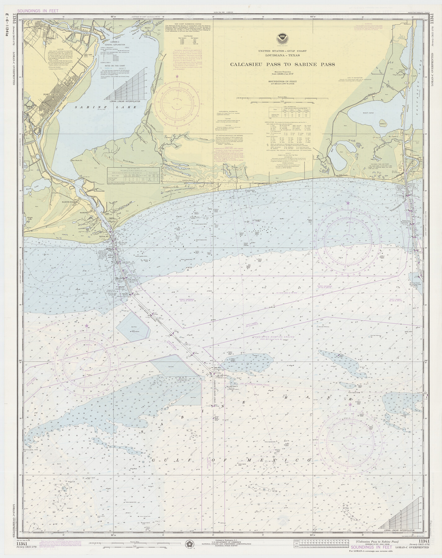
Calcasieu Pass to Sabine Pass
K-6-1279a
-
Map/Doc
69813
-
Collection
General Map Collection
-
Object Dates
1976/2/21 (Creation Date)
-
Counties
Jefferson Orange
-
Subjects
Nautical Charts
-
Height x Width
44.6 x 35.3 inches
113.3 x 89.7 cm
Part of: General Map Collection
Andrews County Working Sketch 20

Print $20.00
- Digital $50.00
Andrews County Working Sketch 20
1970
Size 43.3 x 39.1 inches
Map/Doc 67066
Jones County Sketch File 21

Print $56.00
- Digital $50.00
Jones County Sketch File 21
2010
Map/Doc 93292
Harris County State Real Property Sketch 3

Print $42.00
- Digital $50.00
Harris County State Real Property Sketch 3
2004
Size 24.9 x 36.9 inches
Map/Doc 81952
Young County Working Sketch 12

Print $20.00
- Digital $50.00
Young County Working Sketch 12
1921
Size 17.6 x 19.0 inches
Map/Doc 62035
Nueces County Rolled Sketch 129

Print $20.00
- Digital $50.00
Nueces County Rolled Sketch 129
1998
Size 18.1 x 24.5 inches
Map/Doc 7164

Calhoun County Sketch File 5

Print $2.00
- Digital $50.00
Calhoun County Sketch File 5
Size 11.4 x 8.9 inches
Map/Doc 35907
Terrell County Rolled Sketch W

Print $20.00
- Digital $50.00
Terrell County Rolled Sketch W
Size 15.4 x 14.3 inches
Map/Doc 7979
Map of Caldwell County

Print $20.00
- Digital $50.00
Map of Caldwell County
1871
Size 16.9 x 19.8 inches
Map/Doc 4590
Flight Mission No. CRC-2R, Frame 60, Chambers County

Print $20.00
- Digital $50.00
Flight Mission No. CRC-2R, Frame 60, Chambers County
1956
Size 18.4 x 22.3 inches
Map/Doc 84731
Gaines County Working Sketch 24

Print $20.00
- Digital $50.00
Gaines County Working Sketch 24
1983
Size 36.4 x 37.9 inches
Map/Doc 69324
La Salle County Sketch File 26

Print $4.00
- Digital $50.00
La Salle County Sketch File 26
Size 12.5 x 8.0 inches
Map/Doc 29551
You may also like
Flight Mission No. DCL-4C, Frame 64, Kenedy County

Print $20.00
- Digital $50.00
Flight Mission No. DCL-4C, Frame 64, Kenedy County
1943
Size 18.6 x 22.4 inches
Map/Doc 85809
The Fisher-Miller Colony. September 1, 1843

Print $20.00
The Fisher-Miller Colony. September 1, 1843
2020
Size 13.8 x 21.7 inches
Map/Doc 96359
Pecos County Rolled Sketch ANL

Print $20.00
- Digital $50.00
Pecos County Rolled Sketch ANL
Size 31.5 x 38.4 inches
Map/Doc 7308
Ochiltree County

Print $20.00
- Digital $50.00
Ochiltree County
1888
Size 17.3 x 22.6 inches
Map/Doc 91401
McLennan County Working Sketch 1

Print $20.00
- Digital $50.00
McLennan County Working Sketch 1
1941
Size 21.5 x 29.6 inches
Map/Doc 70694
Map Showing Reconstruction of Conflicted Area in North Eastern Part Brewster County Based on Connections by M. P. Ball

Print $40.00
- Digital $50.00
Map Showing Reconstruction of Conflicted Area in North Eastern Part Brewster County Based on Connections by M. P. Ball
1942
Size 42.9 x 91.9 inches
Map/Doc 82073
Index for Texas Railroad ROW & track maps available on microfilm at THD & Archives and Records

Print $2.00
- Digital $50.00
Index for Texas Railroad ROW & track maps available on microfilm at THD & Archives and Records
1977
Size 11.2 x 8.6 inches
Map/Doc 60759
Flight Mission No. DAG-23K, Frame 150, Matagorda County

Print $20.00
- Digital $50.00
Flight Mission No. DAG-23K, Frame 150, Matagorda County
1953
Size 18.6 x 22.4 inches
Map/Doc 86498
Flight Mission No. DQO-8K, Frame 43, Galveston County

Print $20.00
- Digital $50.00
Flight Mission No. DQO-8K, Frame 43, Galveston County
1952
Size 18.6 x 22.3 inches
Map/Doc 85150
Map of the West Indies engraved to illustrate Mitchell's new intermediate geography

Print $20.00
- Digital $50.00
Map of the West Indies engraved to illustrate Mitchell's new intermediate geography
1885
Size 9.0 x 12.2 inches
Map/Doc 93524
Brewster County Rolled Sketch 114

Print $20.00
- Digital $50.00
Brewster County Rolled Sketch 114
1964
Size 11.4 x 18.2 inches
Map/Doc 5282
Brewster County Rolled Sketch 107

Print $20.00
- Digital $50.00
Brewster County Rolled Sketch 107
Size 22.2 x 11.2 inches
Map/Doc 5259