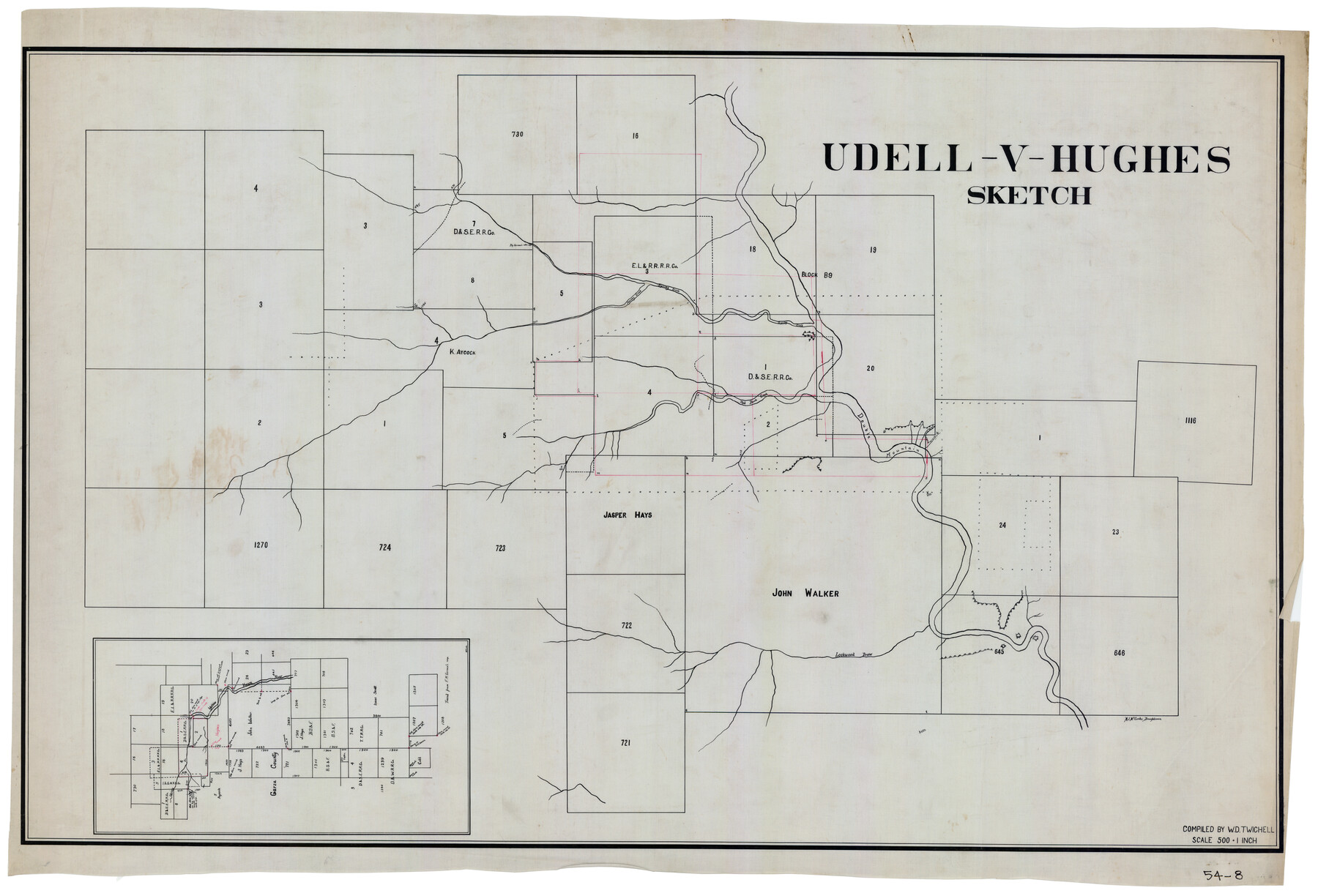
Udell -V- Hughes Sketch
54-8
-
Map/Doc
90481
-
Collection
Twichell Survey Records
-
People and Organizations
W.D. Twichell (Compiler)
-
Counties
Crosby Garza
-
Height x Width
28.8 x 19.4 inches
73.2 x 49.3 cm
Part of: Twichell Survey Records
[W. T. Brewer: M. McDonald, Ralph Gilpin, A. Vanhooser, John Baker, John R. Taylor Surveys]
![90960, [W. T. Brewer: M. McDonald, Ralph Gilpin, A. Vanhooser, John Baker, John R. Taylor Surveys], Twichell Survey Records](https://historictexasmaps.com/wmedia_w700/maps/90960-1.tif.jpg)
Print $2.00
- Digital $50.00
[W. T. Brewer: M. McDonald, Ralph Gilpin, A. Vanhooser, John Baker, John R. Taylor Surveys]
Size 8.8 x 11.3 inches
Map/Doc 90960
Working Sketch in Garza County [J. Hays Block 1]
![90920, Working Sketch in Garza County [J. Hays Block 1], Twichell Survey Records](https://historictexasmaps.com/wmedia_w700/maps/90920-1.tif.jpg)
Print $2.00
- Digital $50.00
Working Sketch in Garza County [J. Hays Block 1]
1903
Size 9.1 x 12.4 inches
Map/Doc 90920
[Block 47, Sections 17- 29]
![91176, [Block 47, Sections 17- 29], Twichell Survey Records](https://historictexasmaps.com/wmedia_w700/maps/91176-1.tif.jpg)
Print $20.00
- Digital $50.00
[Block 47, Sections 17- 29]
Size 25.2 x 18.4 inches
Map/Doc 91176
Capitol Lands Surveyed by J. T. Munson

Print $20.00
- Digital $50.00
Capitol Lands Surveyed by J. T. Munson
Size 22.0 x 19.5 inches
Map/Doc 90604
[Blocks C4, SI, and JK]
![90778, [Blocks C4, SI, and JK], Twichell Survey Records](https://historictexasmaps.com/wmedia_w700/maps/90778-1.tif.jpg)
Print $20.00
- Digital $50.00
[Blocks C4, SI, and JK]
Size 15.0 x 13.3 inches
Map/Doc 90778
[League 321, Garza County Survey 3]
![91394, [League 321, Garza County Survey 3], Twichell Survey Records](https://historictexasmaps.com/wmedia_w700/maps/91394-1.tif.jpg)
Print $20.00
- Digital $50.00
[League 321, Garza County Survey 3]
Size 12.0 x 18.7 inches
Map/Doc 91394
[I. & G. N. Block 1, Secs. 65-75]
![90307, [I. & G. N. Block 1, Secs. 65-75], Twichell Survey Records](https://historictexasmaps.com/wmedia_w700/maps/90307-1.tif.jpg)
Print $20.00
- Digital $50.00
[I. & G. N. Block 1, Secs. 65-75]
1928
Size 22.0 x 18.0 inches
Map/Doc 90307
![90608, [Block K11], Twichell Survey Records](https://historictexasmaps.com/wmedia_w700/maps/90608-1.tif.jpg)
[Block 3 and part of Block 2]
![90760, [Block 3 and part of Block 2], Twichell Survey Records](https://historictexasmaps.com/wmedia_w700/maps/90760-1.tif.jpg)
Print $2.00
- Digital $50.00
[Block 3 and part of Block 2]
1882
Size 13.1 x 9.1 inches
Map/Doc 90760
University of Texas System University Lands

Print $20.00
- Digital $50.00
University of Texas System University Lands
Size 23.2 x 17.9 inches
Map/Doc 93251

Plat made for W. D. Twichell

Print $20.00
- Digital $50.00
Plat made for W. D. Twichell
1919
Size 25.0 x 15.7 inches
Map/Doc 91916
You may also like
Right of Way and Track Map International & Gt. Northern Ry. operated by the International & Gt. Northern Ry. Co., Columbia Branch, Gulf Division

Print $40.00
- Digital $50.00
Right of Way and Track Map International & Gt. Northern Ry. operated by the International & Gt. Northern Ry. Co., Columbia Branch, Gulf Division
1917
Size 25.1 x 56.5 inches
Map/Doc 64598
[Railroad Map of Falfurias to Hidalgo, Hidalgo County]
![89422, [Railroad Map of Falfurias to Hidalgo, Hidalgo County], Barnes Railroad Collection](https://historictexasmaps.com/wmedia_w700/maps/89422-1.tif.jpg)
Print $40.00
- Digital $50.00
[Railroad Map of Falfurias to Hidalgo, Hidalgo County]
Size 25.0 x 146.5 inches
Map/Doc 89422

Corpus Christi Pass, Texas

Print $3.00
- Digital $50.00
Corpus Christi Pass, Texas
1869
Size 16.7 x 11.2 inches
Map/Doc 73456
Boundary Between the United States & Mexico Agreed Upon by the Joint Commission under the Treaty of Guadalupe Hidalgo

Print $4.00
- Digital $50.00
Boundary Between the United States & Mexico Agreed Upon by the Joint Commission under the Treaty of Guadalupe Hidalgo
1853
Size 24.9 x 18.1 inches
Map/Doc 65393
Map of the Lands Surveyed by the Memphis, El Paso & Pacific R.R. Company

Print $20.00
- Digital $50.00
Map of the Lands Surveyed by the Memphis, El Paso & Pacific R.R. Company
1859
Size 13.9 x 21.3 inches
Map/Doc 4849
Gray County Working Sketch 8

Print $20.00
- Digital $50.00
Gray County Working Sketch 8
1983
Size 18.3 x 22.8 inches
Map/Doc 63239
Brazoria County Rolled Sketch 45

Print $4.00
- Digital $50.00
Brazoria County Rolled Sketch 45
1885
Size 23.0 x 28.5 inches
Map/Doc 5179
Wichita Falls, Wichita County, Texas

Print $20.00
- Digital $50.00
Wichita Falls, Wichita County, Texas
Size 32.0 x 22.6 inches
Map/Doc 96791
Kimble County Working Sketch 39

Print $20.00
- Digital $50.00
Kimble County Working Sketch 39
1947
Size 30.8 x 23.5 inches
Map/Doc 70107
Fannin County Sketch File 1

Print $4.00
- Digital $50.00
Fannin County Sketch File 1
1848
Size 9.0 x 7.9 inches
Map/Doc 22443
Medina County Rolled Sketch 15

Print $20.00
- Digital $50.00
Medina County Rolled Sketch 15
1980
Size 25.2 x 20.3 inches
Map/Doc 6749