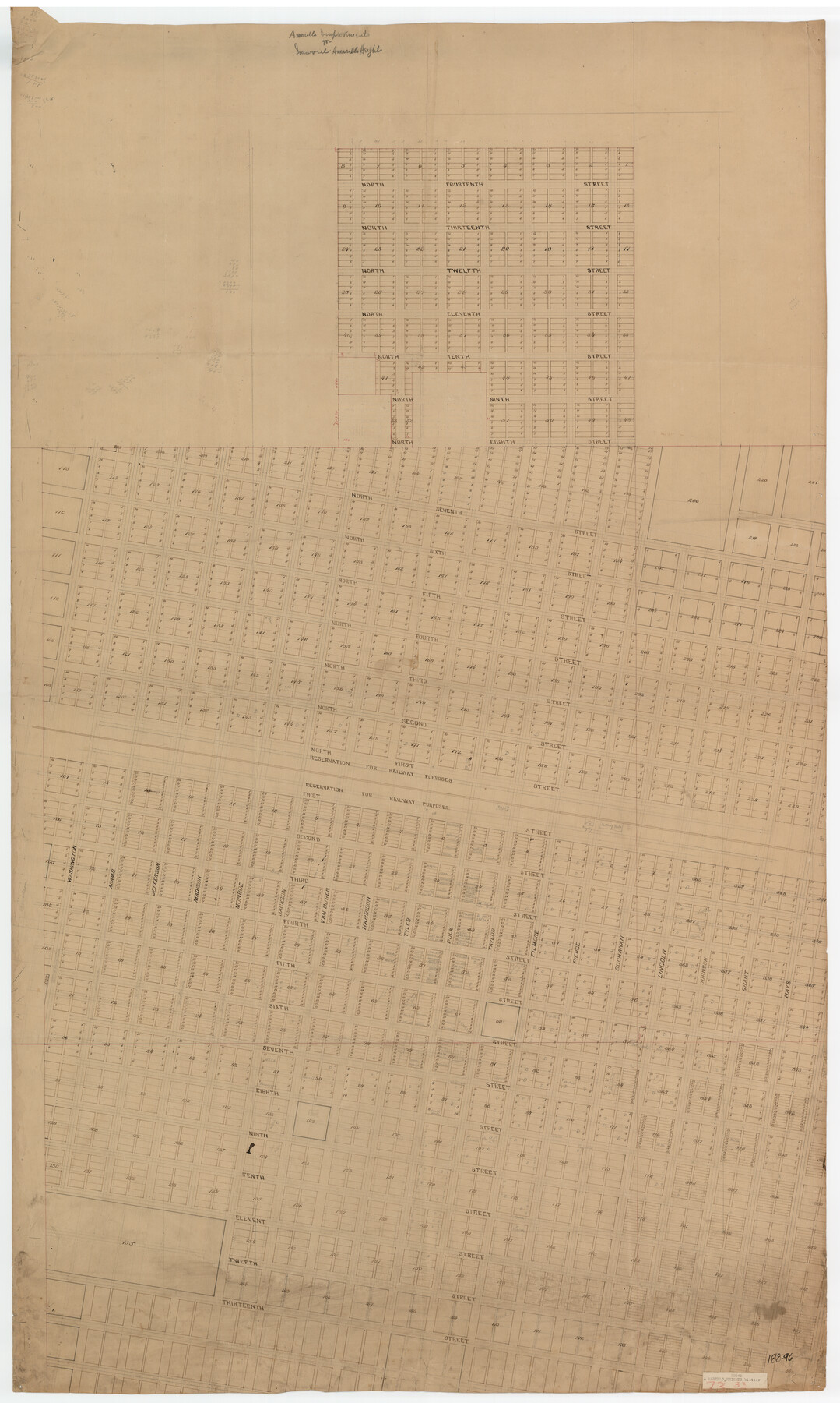
Amarillo Improvements for Sawville-Amarillo Heights
188-96
-
Map/Doc
89789
-
Collection
Twichell Survey Records
-
Counties
Potter
-
Height x Width
37.2 x 62.1 inches
94.5 x 157.7 cm
Part of: Twichell Survey Records
[West Half of Hutchinson County South of the Canadian River]
![91179, [West Half of Hutchinson County South of the Canadian River], Twichell Survey Records](https://historictexasmaps.com/wmedia_w700/maps/91179-1.tif.jpg)
Print $20.00
- Digital $50.00
[West Half of Hutchinson County South of the Canadian River]
Size 18.4 x 17.0 inches
Map/Doc 91179
[S. M. Walker, D. P. Allen, J. C. Guinn, J. R. Lamar and surrounding surveys]
![90334, [S. M. Walker, D. P. Allen, J. C. Guinn, J. R. Lamar and surrounding surveys], Twichell Survey Records](https://historictexasmaps.com/wmedia_w700/maps/90334-1.tif.jpg)
Print $3.00
- Digital $50.00
[S. M. Walker, D. P. Allen, J. C. Guinn, J. R. Lamar and surrounding surveys]
1912
Size 9.7 x 11.2 inches
Map/Doc 90334
Working Sketch in Randall and Swisher Cos.

Print $20.00
- Digital $50.00
Working Sketch in Randall and Swisher Cos.
1917
Size 14.6 x 36.3 inches
Map/Doc 93048
[Townships 1 & 2, Blocks 56, 57]
![92927, [Townships 1 & 2, Blocks 56, 57], Twichell Survey Records](https://historictexasmaps.com/wmedia_w700/maps/92927-1.tif.jpg)
Print $20.00
- Digital $50.00
[Townships 1 & 2, Blocks 56, 57]
Size 19.7 x 22.8 inches
Map/Doc 92927
[Mrs. May Vinson Survey]
![91959, [Mrs. May Vinson Survey], Twichell Survey Records](https://historictexasmaps.com/wmedia_w700/maps/91959-1.tif.jpg)
Print $40.00
- Digital $50.00
[Mrs. May Vinson Survey]
Size 48.4 x 21.9 inches
Map/Doc 91959
[H. & G. N. RR. Company, Block B3]
![90718, [H. & G. N. RR. Company, Block B3], Twichell Survey Records](https://historictexasmaps.com/wmedia_w700/maps/90718-1.tif.jpg)
Print $20.00
- Digital $50.00
[H. & G. N. RR. Company, Block B3]
Size 34.9 x 28.8 inches
Map/Doc 90718
Reconnaissance Map, Roby Sheet

Print $20.00
- Digital $50.00
Reconnaissance Map, Roby Sheet
1893
Size 17.0 x 20.8 inches
Map/Doc 90869
[Sketch N, showing H. & G. N. Block 7, and Blocks C-1 through C-5]
![91768, [Sketch N, showing H. & G. N. Block 7, and Blocks C-1 through C-5], Twichell Survey Records](https://historictexasmaps.com/wmedia_w700/maps/91768-1.tif.jpg)
Print $20.00
- Digital $50.00
[Sketch N, showing H. & G. N. Block 7, and Blocks C-1 through C-5]
Size 14.6 x 16.7 inches
Map/Doc 91768
[Sketch of part of G. & M. Block 5]
![93096, [Sketch of part of G. & M. Block 5], Twichell Survey Records](https://historictexasmaps.com/wmedia_w700/maps/93096-1.tif.jpg)
Print $2.00
- Digital $50.00
[Sketch of part of G. & M. Block 5]
Size 8.1 x 9.3 inches
Map/Doc 93096
City of Andrews

Print $20.00
- Digital $50.00
City of Andrews
1951
Size 25.1 x 24.2 inches
Map/Doc 92454
[Leagues 7, 8, 9, and 10]
![92216, [Leagues 7, 8, 9, and 10], Twichell Survey Records](https://historictexasmaps.com/wmedia_w700/maps/92216-1.tif.jpg)
Print $20.00
- Digital $50.00
[Leagues 7, 8, 9, and 10]
Size 38.3 x 26.2 inches
Map/Doc 92216
[G. & M. Block 5]
![91782, [G. & M. Block 5], Twichell Survey Records](https://historictexasmaps.com/wmedia_w700/maps/91782-1.tif.jpg)
Print $20.00
- Digital $50.00
[G. & M. Block 5]
Size 31.8 x 26.6 inches
Map/Doc 91782
You may also like
[Block XR, Capitol Leagues 161, 162, 164, 174, 178, 179, and 180]
![90729, [Block XR, Capitol Leagues 161, 162, 164, 174, 178, 179, and 180], Twichell Survey Records](https://historictexasmaps.com/wmedia_w700/maps/90729-1.tif.jpg)
Print $20.00
- Digital $50.00
[Block XR, Capitol Leagues 161, 162, 164, 174, 178, 179, and 180]
1908
Size 13.1 x 21.6 inches
Map/Doc 90729
[Sketch of Surveys in Cottle, Dickens, King & Motley Counties, Texas]
![75830, [Sketch of Surveys in Cottle, Dickens, King & Motley Counties, Texas], Maddox Collection](https://historictexasmaps.com/wmedia_w700/maps/75830.tif.jpg)
Print $20.00
- Digital $50.00
[Sketch of Surveys in Cottle, Dickens, King & Motley Counties, Texas]
1913
Size 29.6 x 23.2 inches
Map/Doc 75830
Sec. 22, Block 103

Print $2.00
- Digital $50.00
Sec. 22, Block 103
Size 8.4 x 9.5 inches
Map/Doc 90431
Kent County Sketch File 4

Print $20.00
- Digital $50.00
Kent County Sketch File 4
Size 27.5 x 28.3 inches
Map/Doc 11912
Kinney County Rolled Sketch 19

Print $20.00
- Digital $50.00
Kinney County Rolled Sketch 19
1978
Size 20.7 x 16.8 inches
Map/Doc 6546
Ellis County Sketch File 3

Print $20.00
- Digital $50.00
Ellis County Sketch File 3
Size 23.6 x 28.0 inches
Map/Doc 11462
Colorado County Working Sketch 10

Print $20.00
- Digital $50.00
Colorado County Working Sketch 10
1940
Size 23.2 x 24.4 inches
Map/Doc 68110
Brazoria County Working Sketch 14

Print $20.00
- Digital $50.00
Brazoria County Working Sketch 14
1940
Size 33.6 x 43.9 inches
Map/Doc 67499
Dallas County Sketch File 13

Print $12.00
- Digital $50.00
Dallas County Sketch File 13
1866
Size 12.8 x 8.2 inches
Map/Doc 20422
Controlled Mosaic by Jack Amman Photogrammetric Engineers, Inc - Sheet 16

Print $20.00
- Digital $50.00
Controlled Mosaic by Jack Amman Photogrammetric Engineers, Inc - Sheet 16
1954
Size 20.0 x 24.0 inches
Map/Doc 83460
Mitchell County Working Sketch 4

Print $20.00
- Digital $50.00
Mitchell County Working Sketch 4
1926
Size 28.5 x 31.5 inches
Map/Doc 71061
Flight Mission No. CRC-6R, Frame 13, Chambers County

Print $20.00
- Digital $50.00
Flight Mission No. CRC-6R, Frame 13, Chambers County
1956
Size 18.6 x 22.3 inches
Map/Doc 84967