[S. M. Walker, D. P. Allen, J. C. Guinn, J. R. Lamar and surrounding surveys]
54-16
-
Map/Doc
90334
-
Collection
Twichell Survey Records
-
Object Dates
7/30/1912 (Creation Date)
-
Counties
Crosby
-
Height x Width
9.7 x 11.2 inches
24.6 x 28.5 cm
Part of: Twichell Survey Records
Portion of Scurry County


Print $20.00
- Digital $50.00
Portion of Scurry County
1882
Size 35.1 x 25.3 inches
Map/Doc 92923
Map Showing Soash Lands in Castro, Lamb, and Hale Counties, Texas


Print $20.00
- Digital $50.00
Map Showing Soash Lands in Castro, Lamb, and Hale Counties, Texas
1907
Size 13.9 x 17.6 inches
Map/Doc 91000
Map of George W. Littlefield's Ranch Located on State Capitol Leagues 657- 736 Situated in Lamb and Hockley Counties
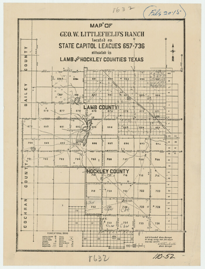

Print $2.00
- Digital $50.00
Map of George W. Littlefield's Ranch Located on State Capitol Leagues 657- 736 Situated in Lamb and Hockley Counties
Size 6.3 x 8.2 inches
Map/Doc 91121
Map of Escarpment Section through Jim Hogg County
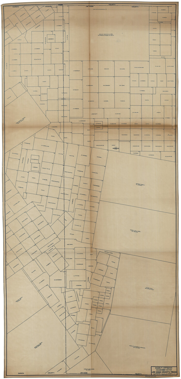

Print $40.00
- Digital $50.00
Map of Escarpment Section through Jim Hogg County
1925
Size 43.3 x 88.7 inches
Map/Doc 93158
[Survey 321, Double Lakes Area, Northwest of Tohoka]
![91299, [Survey 321, Double Lakes Area, Northwest of Tohoka], Twichell Survey Records](https://historictexasmaps.com/wmedia_w700/maps/91299-1.tif.jpg)
![91299, [Survey 321, Double Lakes Area, Northwest of Tohoka], Twichell Survey Records](https://historictexasmaps.com/wmedia_w700/maps/91299-1.tif.jpg)
Print $20.00
- Digital $50.00
[Survey 321, Double Lakes Area, Northwest of Tohoka]
Size 26.9 x 19.5 inches
Map/Doc 91299
[Parts of Blocks M-20, 22 and S]
![91825, [Parts of Blocks M-20, 22 and S], Twichell Survey Records](https://historictexasmaps.com/wmedia_w700/maps/91825-1.tif.jpg)
![91825, [Parts of Blocks M-20, 22 and S], Twichell Survey Records](https://historictexasmaps.com/wmedia_w700/maps/91825-1.tif.jpg)
Print $20.00
- Digital $50.00
[Parts of Blocks M-20, 22 and S]
1921
Size 23.3 x 18.3 inches
Map/Doc 91825
McLean, Texas Section 22, Block R


Print $20.00
- Digital $50.00
McLean, Texas Section 22, Block R
Size 16.0 x 16.1 inches
Map/Doc 90721
[B. S. & F. Block 9]
![91812, [B. S. & F. Block 9], Twichell Survey Records](https://historictexasmaps.com/wmedia_w700/maps/91812-1.tif.jpg)
![91812, [B. S. & F. Block 9], Twichell Survey Records](https://historictexasmaps.com/wmedia_w700/maps/91812-1.tif.jpg)
Print $20.00
- Digital $50.00
[B. S. & F. Block 9]
Size 38.0 x 18.6 inches
Map/Doc 91812
[Block 47, Sections 17- 29]
![91176, [Block 47, Sections 17- 29], Twichell Survey Records](https://historictexasmaps.com/wmedia_w700/maps/91176-1.tif.jpg)
![91176, [Block 47, Sections 17- 29], Twichell Survey Records](https://historictexasmaps.com/wmedia_w700/maps/91176-1.tif.jpg)
Print $20.00
- Digital $50.00
[Block 47, Sections 17- 29]
Size 25.2 x 18.4 inches
Map/Doc 91176
South Umbarger in Randall County, Texas
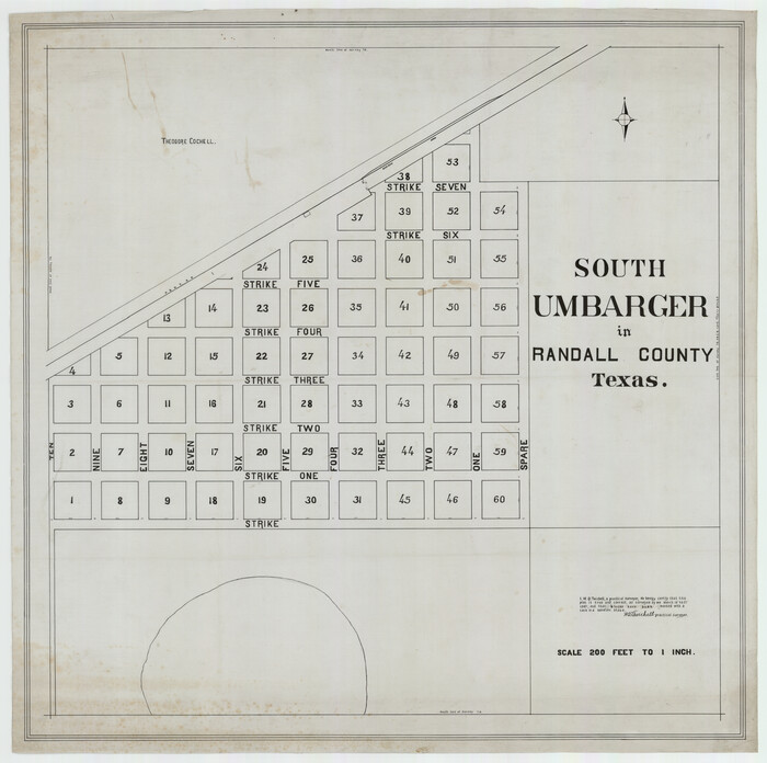

Print $20.00
- Digital $50.00
South Umbarger in Randall County, Texas
1905
Size 31.2 x 30.7 inches
Map/Doc 92153
Subdivision of the J. F. Carter Estate
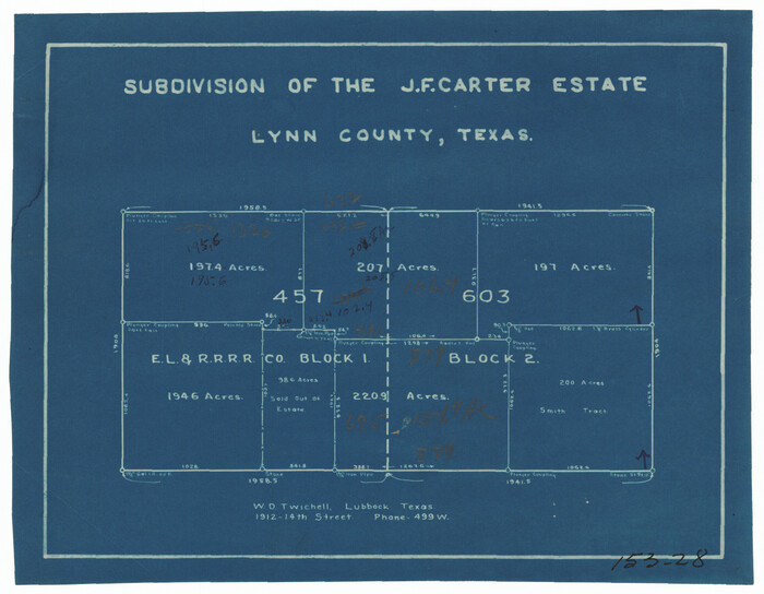

Print $2.00
- Digital $50.00
Subdivision of the J. F. Carter Estate
Size 11.8 x 9.0 inches
Map/Doc 91279
You may also like
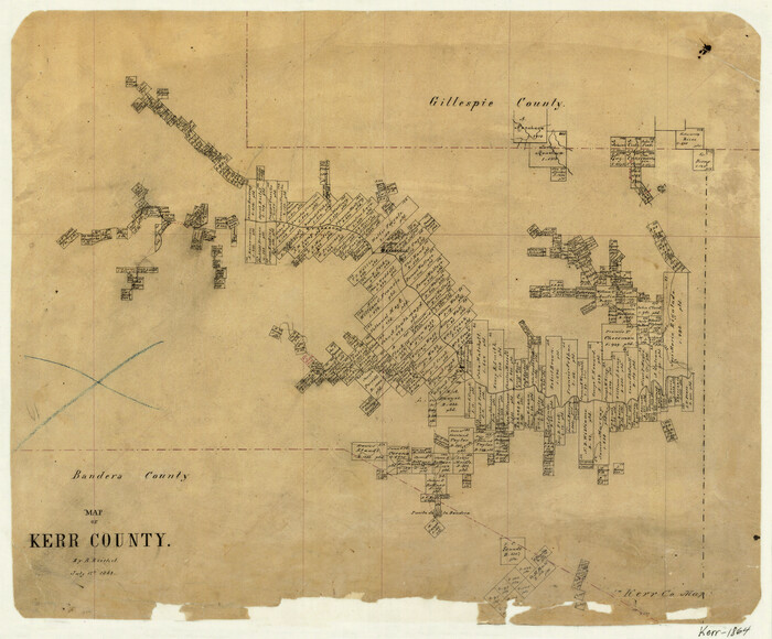
Map of Kerr County

Print $20.00
- Digital $50.00
Map of Kerr County
1864
Size 14.8 x 17.9 inches
Map/Doc 3760
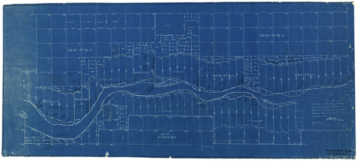
Childress County Rolled Sketch 18A

Print $20.00
- Digital $50.00
Childress County Rolled Sketch 18A
1913
Size 18.5 x 39.8 inches
Map/Doc 5452
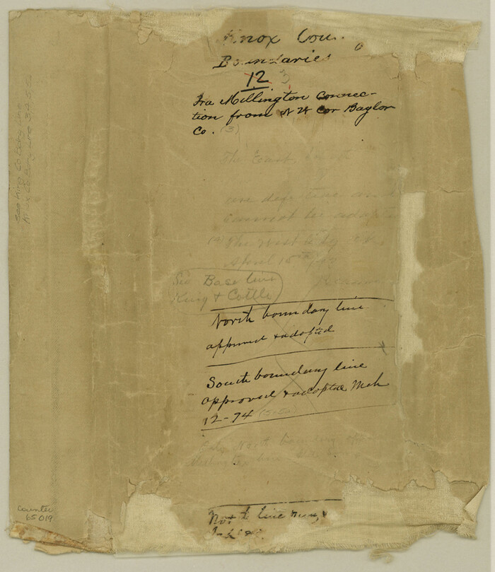
Knox County Boundary File 3

Print $54.00
- Digital $50.00
Knox County Boundary File 3
Size 8.9 x 7.7 inches
Map/Doc 65019
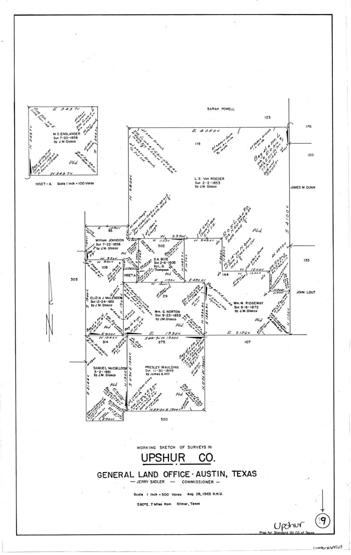
Upshur County Working Sketch 9

Print $20.00
- Digital $50.00
Upshur County Working Sketch 9
1963
Size 27.9 x 17.7 inches
Map/Doc 69565
[Rockwall County School Land and adjacent Blocks]
![90758, [Rockwall County School Land and adjacent Blocks], Twichell Survey Records](https://historictexasmaps.com/wmedia_w700/maps/90758-1.tif.jpg)
![90758, [Rockwall County School Land and adjacent Blocks], Twichell Survey Records](https://historictexasmaps.com/wmedia_w700/maps/90758-1.tif.jpg)
Print $20.00
- Digital $50.00
[Rockwall County School Land and adjacent Blocks]
1904
Size 17.5 x 23.2 inches
Map/Doc 90758
[T. & P. Blocks 32-34, Township 3N]
![90560, [T. & P. Blocks 32-34, Township 3N], Twichell Survey Records](https://historictexasmaps.com/wmedia_w700/maps/90560-1.tif.jpg)
![90560, [T. & P. Blocks 32-34, Township 3N], Twichell Survey Records](https://historictexasmaps.com/wmedia_w700/maps/90560-1.tif.jpg)
Print $20.00
- Digital $50.00
[T. & P. Blocks 32-34, Township 3N]
Size 27.7 x 20.2 inches
Map/Doc 90560
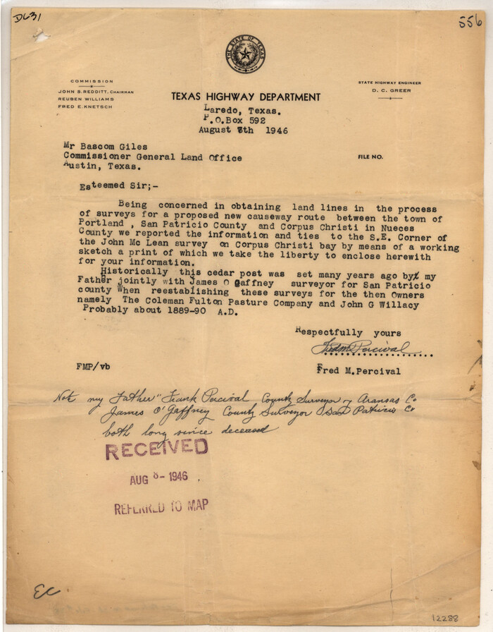
San Patricio County Sketch File 33

Print $20.00
- Digital $50.00
San Patricio County Sketch File 33
1946
Size 15.5 x 31.0 inches
Map/Doc 12288
[Galveston, Harrisburg & San Antonio through El Paso County]
![64002, [Galveston, Harrisburg & San Antonio through El Paso County], General Map Collection](https://historictexasmaps.com/wmedia_w700/maps/64002.tif.jpg)
![64002, [Galveston, Harrisburg & San Antonio through El Paso County], General Map Collection](https://historictexasmaps.com/wmedia_w700/maps/64002.tif.jpg)
Print $20.00
- Digital $50.00
[Galveston, Harrisburg & San Antonio through El Paso County]
1907
Size 13.6 x 33.9 inches
Map/Doc 64002
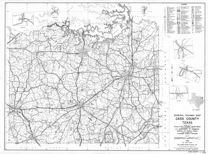
General Highway Map, Cass County, Texas

Print $20.00
General Highway Map, Cass County, Texas
1961
Size 18.3 x 24.7 inches
Map/Doc 79402
[Portion of Terry & Lynn County Lines]
![92906, [Portion of Terry & Lynn County Lines], Twichell Survey Records](https://historictexasmaps.com/wmedia_w700/maps/92906-1.tif.jpg)
![92906, [Portion of Terry & Lynn County Lines], Twichell Survey Records](https://historictexasmaps.com/wmedia_w700/maps/92906-1.tif.jpg)
Print $20.00
- Digital $50.00
[Portion of Terry & Lynn County Lines]
Size 22.6 x 14.0 inches
Map/Doc 92906
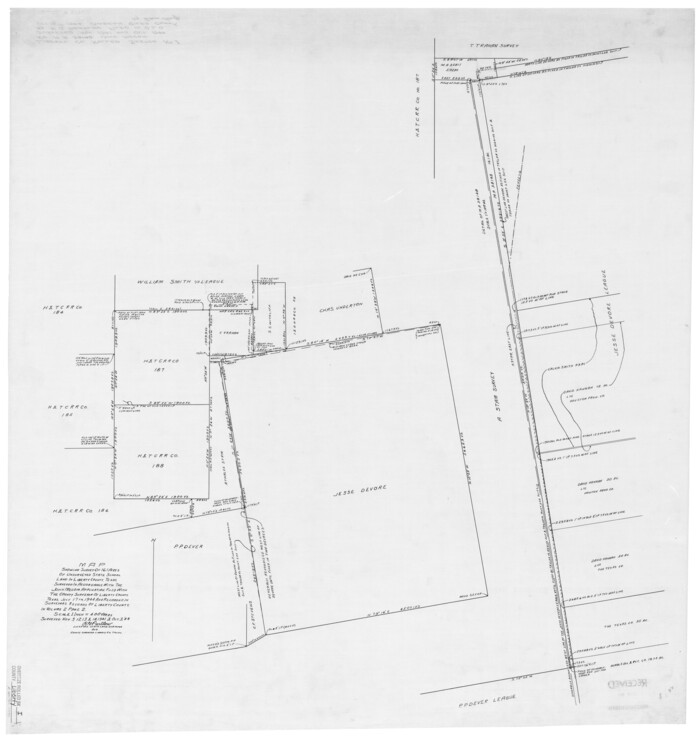
Liberty County Rolled Sketch I

Print $20.00
- Digital $50.00
Liberty County Rolled Sketch I
1944
Size 38.1 x 38.1 inches
Map/Doc 10642
![90334, [S. M. Walker, D. P. Allen, J. C. Guinn, J. R. Lamar and surrounding surveys], Twichell Survey Records](https://historictexasmaps.com/wmedia_w1800h1800/maps/90334-1.tif.jpg)

![94161, Austin and Vicinity [Verso], General Map Collection](https://historictexasmaps.com/wmedia_w700/maps/94161.tif.jpg)