[Sketch showing T.&P. Blks. 35, 32, 33, 34, T3N, Blks. 1, 2 and T.T. R.R. Co. Blk. 2]
58-1
-
Map/Doc
89764
-
Collection
Twichell Survey Records
-
Counties
Dawson Howard Martin Borden
-
Height x Width
54.8 x 47.4 inches
139.2 x 120.4 cm
Part of: Twichell Survey Records
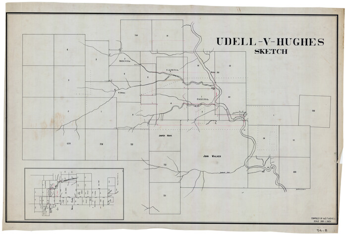
Udell -V- Hughes Sketch

Print $20.00
- Digital $50.00
Udell -V- Hughes Sketch
Size 28.8 x 19.4 inches
Map/Doc 90481
Sheet 1 copied from Champlin Book 5 [Strip Map showing T. & P. connecting lines]
![93177, Sheet 1 copied from Champlin Book 5 [Strip Map showing T. & P. connecting lines], Twichell Survey Records](https://historictexasmaps.com/wmedia_w700/maps/93177-1.tif.jpg)
![93177, Sheet 1 copied from Champlin Book 5 [Strip Map showing T. & P. connecting lines], Twichell Survey Records](https://historictexasmaps.com/wmedia_w700/maps/93177-1.tif.jpg)
Print $40.00
- Digital $50.00
Sheet 1 copied from Champlin Book 5 [Strip Map showing T. & P. connecting lines]
1909
Size 7.8 x 72.4 inches
Map/Doc 93177
Plat of Littlefield, Texas


Print $20.00
- Digital $50.00
Plat of Littlefield, Texas
Size 23.6 x 19.3 inches
Map/Doc 90990
Cow Bayou Oil Field, Orange County, Texas


Print $20.00
- Digital $50.00
Cow Bayou Oil Field, Orange County, Texas
Size 24.0 x 18.8 inches
Map/Doc 93016
[Strickland Survey Sketch Showing Abercrombie Corner, Exhibit C]
![91370, [Strickland Survey Sketch Showing Abercrombie Corner, Exhibit C], Twichell Survey Records](https://historictexasmaps.com/wmedia_w700/maps/91370-1.tif.jpg)
![91370, [Strickland Survey Sketch Showing Abercrombie Corner, Exhibit C], Twichell Survey Records](https://historictexasmaps.com/wmedia_w700/maps/91370-1.tif.jpg)
Print $20.00
- Digital $50.00
[Strickland Survey Sketch Showing Abercrombie Corner, Exhibit C]
Size 25.3 x 19.1 inches
Map/Doc 91370
South Part Brewster Co.


Print $40.00
- Digital $50.00
South Part Brewster Co.
1915
Size 50.0 x 35.2 inches
Map/Doc 89723
[Vicinity of Wilson Strickland Survey]
![91380, [Vicinity of Wilson Strickland Survey], Twichell Survey Records](https://historictexasmaps.com/wmedia_w700/maps/91380-1.tif.jpg)
![91380, [Vicinity of Wilson Strickland Survey], Twichell Survey Records](https://historictexasmaps.com/wmedia_w700/maps/91380-1.tif.jpg)
Print $20.00
- Digital $50.00
[Vicinity of Wilson Strickland Survey]
Size 37.1 x 25.5 inches
Map/Doc 91380
Map of Andrews


Print $20.00
- Digital $50.00
Map of Andrews
1928
Size 20.8 x 17.7 inches
Map/Doc 92452
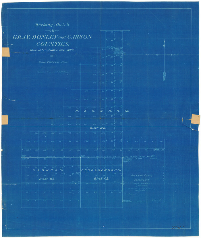
Working Sketch in Gray, Donley, and Carson Counties, Texas

Print $20.00
- Digital $50.00
Working Sketch in Gray, Donley, and Carson Counties, Texas
1909
Size 22.7 x 27.0 inches
Map/Doc 90779
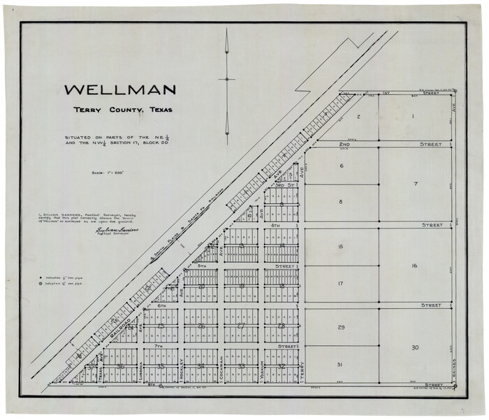
Wellman Situated on Parts of the Northeast 1/4 and Northwest 1/4 Section 17, Block DD

Print $20.00
- Digital $50.00
Wellman Situated on Parts of the Northeast 1/4 and Northwest 1/4 Section 17, Block DD
Size 22.2 x 18.9 inches
Map/Doc 92930
Map of State University Land, Pecos County, Texas


Print $20.00
- Digital $50.00
Map of State University Land, Pecos County, Texas
1929
Size 42.1 x 33.5 inches
Map/Doc 91626
You may also like
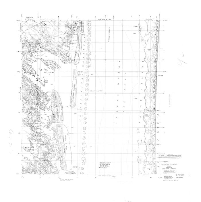
Kleberg County Rolled Sketch 10-20

Print $20.00
- Digital $50.00
Kleberg County Rolled Sketch 10-20
1952
Size 35.9 x 35.7 inches
Map/Doc 9368
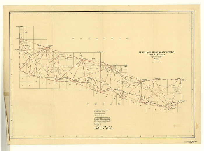
Wichita County Rolled Sketch 18

Print $20.00
- Digital $50.00
Wichita County Rolled Sketch 18
1924
Size 30.0 x 40.5 inches
Map/Doc 8253
Brazoria County NRC Article 33.136 Sketch 29


Print $24.00
Brazoria County NRC Article 33.136 Sketch 29
2025
Map/Doc 97474
Survey 1, Block 1, D.B. Gardner in Dickens County


Print $20.00
- Digital $50.00
Survey 1, Block 1, D.B. Gardner in Dickens County
1914
Size 14.9 x 30.4 inches
Map/Doc 10767
Jones County Sketch File 6


Print $2.00
- Digital $50.00
Jones County Sketch File 6
1873
Size 8.3 x 11.8 inches
Map/Doc 28494
Reagan County Sketch File 13
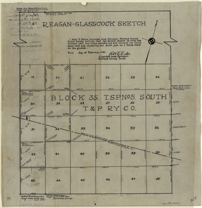

Print $40.00
- Digital $50.00
Reagan County Sketch File 13
1931
Size 15.6 x 15.1 inches
Map/Doc 34991
Yoakum County Sketch File 10
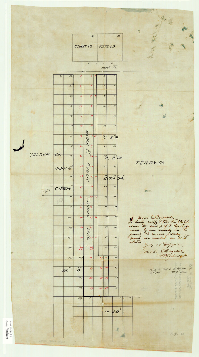

Print $20.00
- Digital $50.00
Yoakum County Sketch File 10
1902
Size 33.7 x 18.8 inches
Map/Doc 12706
Hale County Rolled Sketch 5
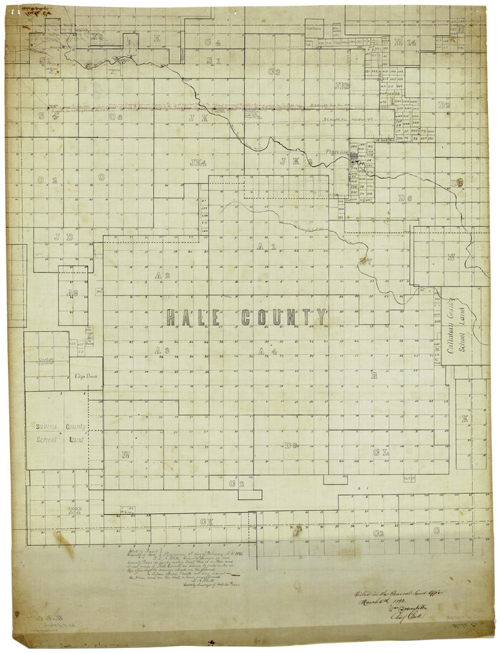

Print $20.00
- Digital $50.00
Hale County Rolled Sketch 5
1893
Size 29.0 x 22.2 inches
Map/Doc 9094
Concho County
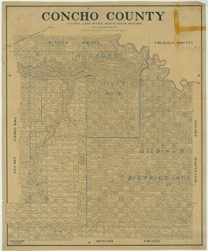

Print $20.00
- Digital $50.00
Concho County
1897
Size 45.9 x 38.0 inches
Map/Doc 66785
Flight Mission No. BRE-2P, Frame 102, Nueces County
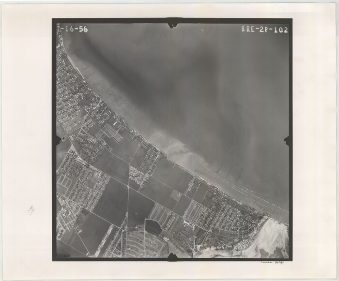

Print $20.00
- Digital $50.00
Flight Mission No. BRE-2P, Frame 102, Nueces County
1956
Size 18.4 x 22.2 inches
Map/Doc 86787
![89764, [Sketch showing T.&P. Blks. 35, 32, 33, 34, T3N, Blks. 1, 2 and T.T. R.R. Co. Blk. 2], Twichell Survey Records](https://historictexasmaps.com/wmedia_w1800h1800/maps/89764-1.tif.jpg)
