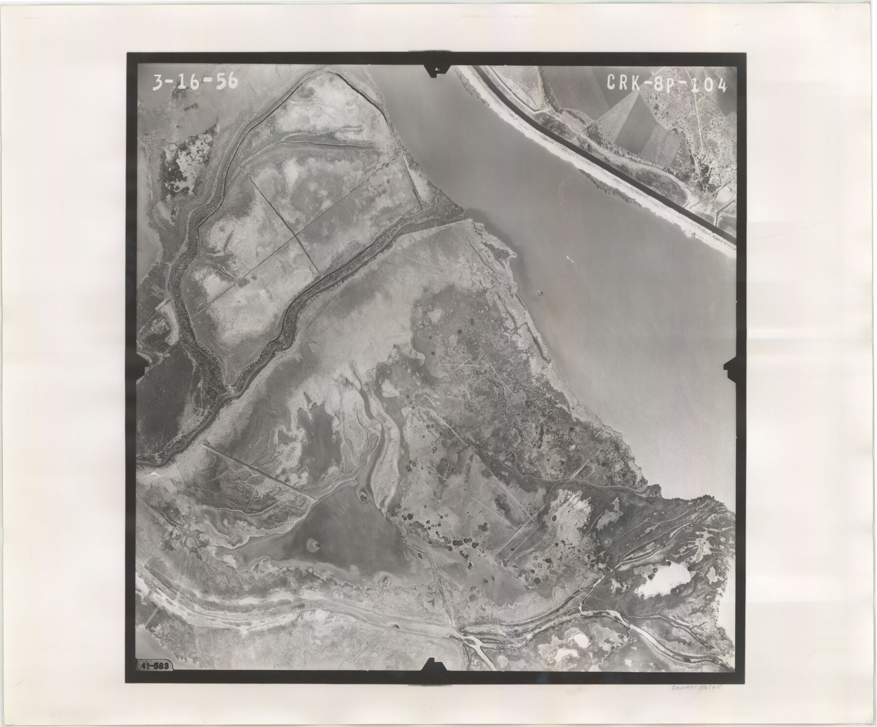
Flight Mission No. CRK-8P, Frame 104, Refugio County
CRK-8P-104
-
Map/Doc
86965
-
Collection
General Map Collection
-
Object Dates
1956/3/16 (Creation Date)
-
People and Organizations
U. S. Department of Agriculture (Publisher)
-
Counties
Refugio
-
Subjects
Aerial Photograph
-
Height x Width
18.2 x 22.0 inches
46.2 x 55.9 cm
-
Comments
Flown by V. L. Beavers and Associates of San Antonio, Texas.
Part of: General Map Collection
Kinney County Sketch File 16

Print $20.00
- Digital $50.00
Kinney County Sketch File 16
1887
Size 23.2 x 25.4 inches
Map/Doc 11941
Henderson County Sketch File 15

Print $4.00
- Digital $50.00
Henderson County Sketch File 15
1890
Size 8.1 x 13.1 inches
Map/Doc 26357
Jasper County Boundary File 4a

Print $20.00
- Digital $50.00
Jasper County Boundary File 4a
Size 36.6 x 17.6 inches
Map/Doc 55491
Irion County Rolled Sketch 6

Print $20.00
- Digital $50.00
Irion County Rolled Sketch 6
Size 23.6 x 39.9 inches
Map/Doc 6320

Leon County Working Sketch 34

Print $20.00
- Digital $50.00
Leon County Working Sketch 34
1978
Size 45.1 x 41.9 inches
Map/Doc 70433
Dallas County Rolled Sketch 4

Print $20.00
- Digital $50.00
Dallas County Rolled Sketch 4
1954
Size 13.1 x 24.2 inches
Map/Doc 5687
Brooks County Working Sketch 9

Print $20.00
- Digital $50.00
Brooks County Working Sketch 9
1931
Size 25.7 x 38.7 inches
Map/Doc 67793
Briscoe County Working Sketch 12

Print $40.00
- Digital $50.00
Briscoe County Working Sketch 12
1984
Size 43.6 x 60.3 inches
Map/Doc 67815
Hays County Sketch File 17

Print $8.00
- Digital $50.00
Hays County Sketch File 17
1877
Size 12.9 x 8.4 inches
Map/Doc 26231

Brewster County Working Sketch 101

Print $40.00
- Digital $50.00
Brewster County Working Sketch 101
1980
Size 60.2 x 43.2 inches
Map/Doc 67701
You may also like
Flight Mission No. DQO-6K, Frame 23, Galveston County

Print $20.00
- Digital $50.00
Flight Mission No. DQO-6K, Frame 23, Galveston County
1952
Size 18.8 x 22.5 inches
Map/Doc 85096
[Part of Connected map of Stephen F. Austin's Colony on file at the GLO]
![90208, [Part of Connected map of Stephen F. Austin's Colony on file at the GLO], Twichell Survey Records](https://historictexasmaps.com/wmedia_w700/maps/90208-1.tif.jpg)
Print $20.00
- Digital $50.00
[Part of Connected map of Stephen F. Austin's Colony on file at the GLO]
1923
Size 18.8 x 18.2 inches
Map/Doc 90208
Crosby County Boundary File 4

Print $88.00
- Digital $50.00
Crosby County Boundary File 4
Size 14.8 x 9.1 inches
Map/Doc 52003
Hill County Sketch File 2

Print $40.00
- Digital $50.00
Hill County Sketch File 2
1847
Size 15.1 x 12.6 inches
Map/Doc 26461
[Map of Terrell County]
![4074, [Map of Terrell County], General Map Collection](https://historictexasmaps.com/wmedia_w700/maps/4074.tif.jpg)
Print $20.00
- Digital $50.00
[Map of Terrell County]
Size 38.0 x 24.0 inches
Map/Doc 4074
Port Facilities at Texas City, Tex.

Print $20.00
- Digital $50.00
Port Facilities at Texas City, Tex.
Size 13.9 x 15.9 inches
Map/Doc 97161
Flight Mission No. CRC-4R, Frame 150, Chambers County

Print $20.00
- Digital $50.00
Flight Mission No. CRC-4R, Frame 150, Chambers County
1956
Size 18.6 x 22.4 inches
Map/Doc 84913
Map of the Lands Surveyed by the Memphis, El Paso & Pacific R.R. Company

Print $20.00
- Digital $50.00
Map of the Lands Surveyed by the Memphis, El Paso & Pacific R.R. Company
1859
Size 15.0 x 30.0 inches
Map/Doc 2219

Hays County Working Sketch 9

Print $40.00
- Digital $50.00
Hays County Working Sketch 9
1949
Size 22.8 x 50.5 inches
Map/Doc 66083
Terrell County Working Sketch 16

Print $40.00
- Digital $50.00
Terrell County Working Sketch 16
1927
Size 37.7 x 51.4 inches
Map/Doc 62165
Map of Schleicher County

Print $20.00
- Digital $50.00
Map of Schleicher County
1887
Size 21.4 x 30.1 inches
Map/Doc 4021