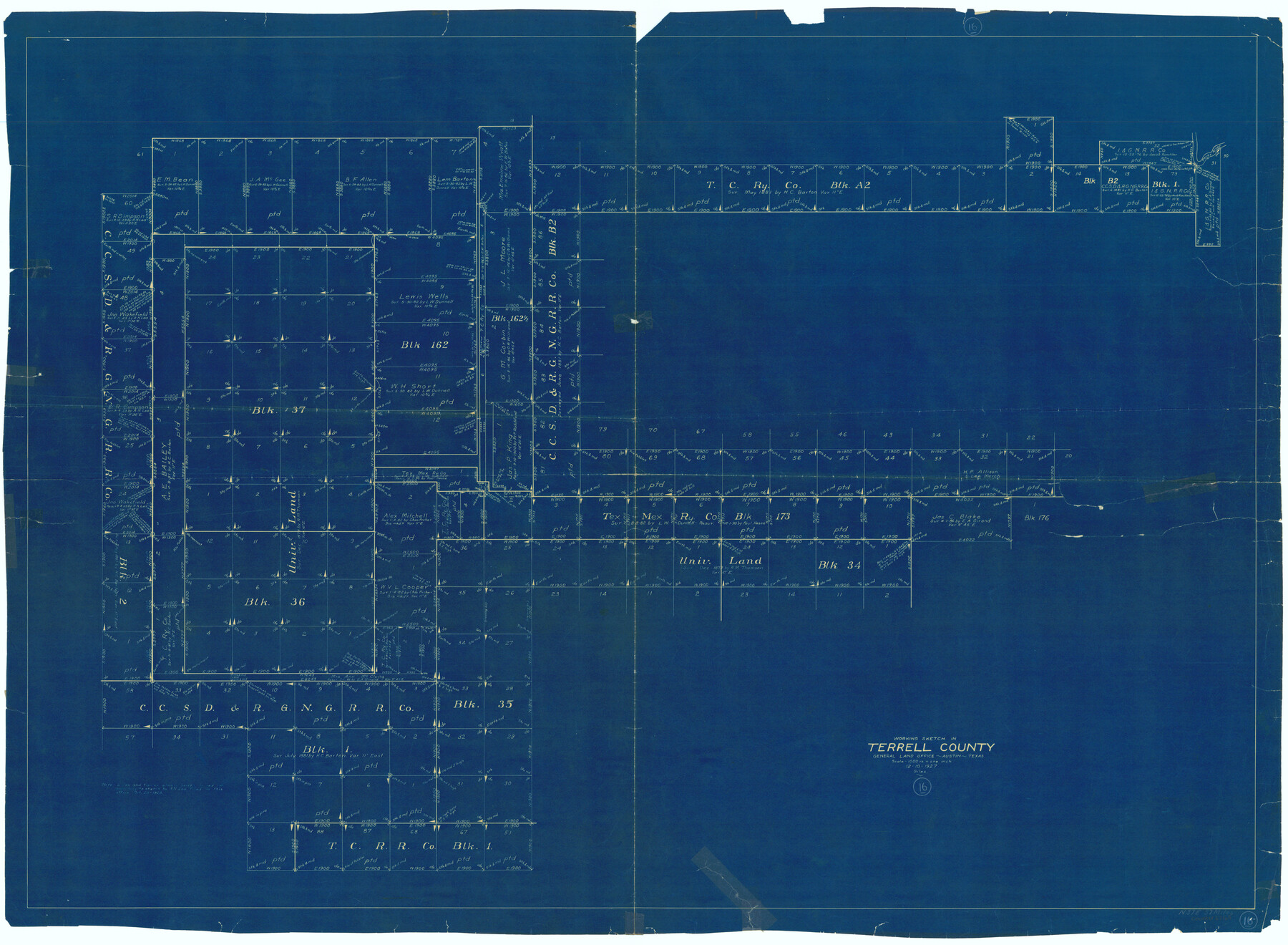
Terrell County Working Sketch 16
-
Map/Doc
62165
-
Collection
General Map Collection
-
Object Dates
12/10/1927 (Creation Date)
-
People and Organizations
J. Bascom Giles (Draftsman)
-
Counties
Terrell
-
Subjects
Surveying Working Sketch
-
Height x Width
37.7 x 51.4 inches
95.8 x 130.6 cm
-
Scale
1" = 1000 varas
Part of: General Map Collection
Baylor County Boundary File 12

Print $2.00
- Digital $50.00
Baylor County Boundary File 12
Size 11.1 x 8.6 inches
Map/Doc 50423
Flight Mission No. DCL-6C, Frame 93, Kenedy County

Print $20.00
- Digital $50.00
Flight Mission No. DCL-6C, Frame 93, Kenedy County
1943
Size 18.6 x 22.3 inches
Map/Doc 85923
Wharton County Sketch File A4

Print $11.00
- Digital $50.00
Wharton County Sketch File A4
1904
Size 11.0 x 8.4 inches
Map/Doc 39981
Hudspeth County Working Sketch 16

Print $40.00
- Digital $50.00
Hudspeth County Working Sketch 16
Size 22.2 x 56.6 inches
Map/Doc 69649
Map of Coleman County

Print $20.00
- Digital $50.00
Map of Coleman County
Size 26.8 x 19.8 inches
Map/Doc 3408
Baie de Galvez-Town

Print $20.00
- Digital $50.00
Baie de Galvez-Town
1820
Size 10.3 x 12.9 inches
Map/Doc 95832
Chart of soundings through the different channels in Aransas and Matagorda Bays as taken in 1855 by Capt. R. B. Marey, U. S. A. [Inset: Harbour of Lamar and Live-Oak Pt.]
![72978, Chart of soundings through the different channels in Aransas and Matagorda Bays as taken in 1855 by Capt. R. B. Marey, U. S. A. [Inset: Harbour of Lamar and Live-Oak Pt.], General Map Collection](https://historictexasmaps.com/wmedia_w700/maps/72978.tif.jpg)
Print $20.00
- Digital $50.00
Chart of soundings through the different channels in Aransas and Matagorda Bays as taken in 1855 by Capt. R. B. Marey, U. S. A. [Inset: Harbour of Lamar and Live-Oak Pt.]
Size 28.4 x 18.3 inches
Map/Doc 72978
Hamilton County Working Sketch 30

Print $20.00
- Digital $50.00
Hamilton County Working Sketch 30
1982
Size 24.7 x 24.7 inches
Map/Doc 63368
Presidio County Rolled Sketch D2

Print $20.00
- Digital $50.00
Presidio County Rolled Sketch D2
1908
Size 14.3 x 16.9 inches
Map/Doc 7410
Fort Bend County State Real Property Sketch 15

Print $20.00
- Digital $50.00
Fort Bend County State Real Property Sketch 15
1985
Size 34.9 x 43.5 inches
Map/Doc 61689
Map of the Fort Worth and Denver City Railway, through Wilbarger County Texas, 1882

Print $40.00
- Digital $50.00
Map of the Fort Worth and Denver City Railway, through Wilbarger County Texas, 1882
Size 22.6 x 79.4 inches
Map/Doc 64427
Leon County Working Sketch 11

Print $20.00
- Digital $50.00
Leon County Working Sketch 11
1952
Size 21.1 x 35.0 inches
Map/Doc 70410
You may also like
T. & P. R. R. Co. Block 44, Township 1 S

Print $20.00
- Digital $50.00
T. & P. R. R. Co. Block 44, Township 1 S
Size 18.1 x 22.8 inches
Map/Doc 90826
Midland County Working Sketch 25

Print $40.00
- Digital $50.00
Midland County Working Sketch 25
1957
Size 58.3 x 49.1 inches
Map/Doc 71006
Fifteenth Census 1930 Population - Texas

Print $20.00
- Digital $50.00
Fifteenth Census 1930 Population - Texas
1930
Size 19.5 x 22.6 inches
Map/Doc 2146
Tyler County Sketch File 6-3

Print $20.00
- Digital $50.00
Tyler County Sketch File 6-3
1861
Size 20.0 x 22.1 inches
Map/Doc 12499
![91799, [Block 2], Twichell Survey Records](https://historictexasmaps.com/wmedia_w700/maps/91799-1.tif.jpg)
Austin, Texas Congress Ave. Drainage

Print $20.00
- Digital $50.00
Austin, Texas Congress Ave. Drainage
1903
Size 15.3 x 15.4 inches
Map/Doc 75798
Water-Shed of the Pease River Drainage Area

Print $6.00
- Digital $50.00
Water-Shed of the Pease River Drainage Area
Size 14.9 x 31.0 inches
Map/Doc 65102
Runnels County Sketch File H

Print $4.00
Runnels County Sketch File H
1890
Size 14.3 x 8.8 inches
Map/Doc 35450
Jefferson County Sketch File 8

Print $8.00
- Digital $50.00
Jefferson County Sketch File 8
Size 8.0 x 7.6 inches
Map/Doc 28116
Val Verde County Working Sketch 11

Print $20.00
- Digital $50.00
Val Verde County Working Sketch 11
1919
Size 32.0 x 26.5 inches
Map/Doc 72146
Right of Way and Track Map, International & Gt. Northern Ry. Operated by the International & Gt. Northern Ry. Co., Gulf Division

Print $40.00
- Digital $50.00
Right of Way and Track Map, International & Gt. Northern Ry. Operated by the International & Gt. Northern Ry. Co., Gulf Division
1917
Size 25.1 x 56.7 inches
Map/Doc 64246
[Plat Showing Colorado, Upshur & Travis County School Land and Surrounding Area in Baylor & Throckmorton Counties, Texas]
![75790, [Plat Showing Colorado, Upshur & Travis County School Land and Surrounding Area in Baylor & Throckmorton Counties, Texas], Maddox Collection](https://historictexasmaps.com/wmedia_w700/maps/75790.tif.jpg)
Print $20.00
- Digital $50.00
[Plat Showing Colorado, Upshur & Travis County School Land and Surrounding Area in Baylor & Throckmorton Counties, Texas]
1889
Size 15.8 x 20.5 inches
Map/Doc 75790