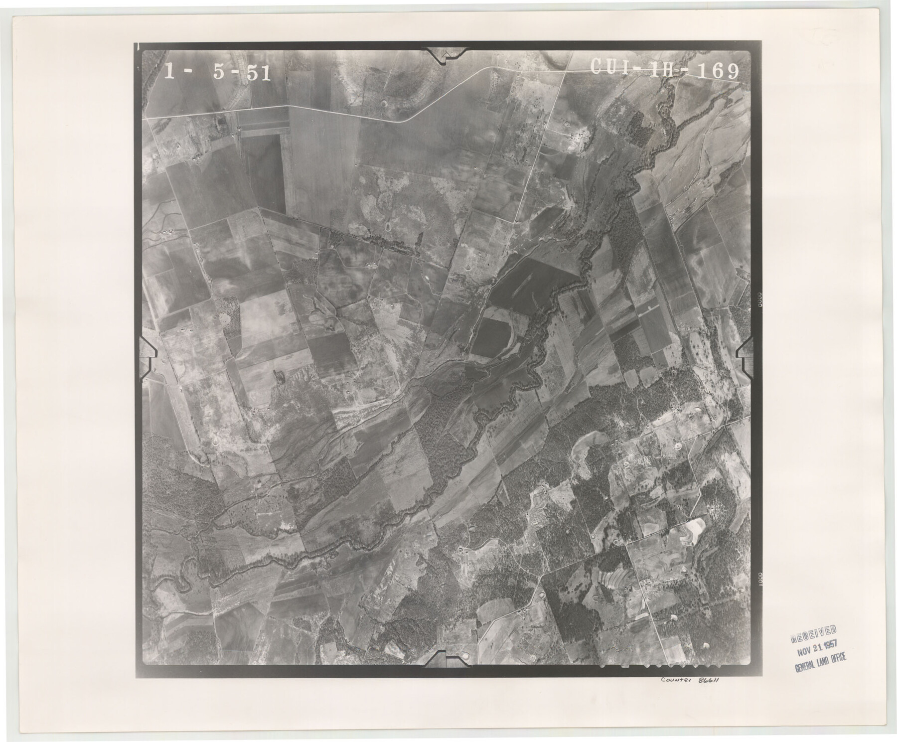
Flight Mission No. CUI-1H, Frame 169, Milam County
CUI-1H-169
-
Map/Doc
86611
-
Collection
General Map Collection
-
Object Dates
1951/1/5 (Creation Date)
-
People and Organizations
U. S. Department of Agriculture (Publisher)
-
Counties
Milam
-
Subjects
Aerial Photograph
-
Height x Width
18.7 x 22.6 inches
47.5 x 57.4 cm
-
Comments
Flown by Robinson Aerial Surveys, Inc. of Newark 7 , New Jersey.
Part of: General Map Collection
Dimmit County Boundary File 7

Print $14.00
- Digital $50.00
Dimmit County Boundary File 7
Size 12.8 x 8.4 inches
Map/Doc 52590
Armstrong County Sketch File A-15

Print $40.00
- Digital $50.00
Armstrong County Sketch File A-15
Size 17.8 x 14.0 inches
Map/Doc 13716
Hopkins County Sketch File 11

Print $4.00
- Digital $50.00
Hopkins County Sketch File 11
Size 7.7 x 7.7 inches
Map/Doc 26704
Flight Mission No. BRA-8M, Frame 84, Jefferson County

Print $20.00
- Digital $50.00
Flight Mission No. BRA-8M, Frame 84, Jefferson County
1953
Size 18.6 x 22.4 inches
Map/Doc 85604
Coleman County Rolled Sketch 7

Print $20.00
- Digital $50.00
Coleman County Rolled Sketch 7
Size 19.3 x 14.3 inches
Map/Doc 5530
Edwards County Rolled Sketch N

Print $20.00
- Digital $50.00
Edwards County Rolled Sketch N
1934
Size 18.9 x 23.7 inches
Map/Doc 6066
Sutton County Working Sketch 18

Print $20.00
- Digital $50.00
Sutton County Working Sketch 18
1978
Size 39.9 x 31.5 inches
Map/Doc 62361
Grayson County Sketch File 28

Print $4.00
- Digital $50.00
Grayson County Sketch File 28
1990
Size 14.3 x 8.8 inches
Map/Doc 24517
Flight Mission No. BQR-20K, Frame 10, Brazoria County

Print $20.00
- Digital $50.00
Flight Mission No. BQR-20K, Frame 10, Brazoria County
1952
Size 18.6 x 22.3 inches
Map/Doc 84112
Newton County Working Sketch 33

Print $20.00
- Digital $50.00
Newton County Working Sketch 33
1956
Size 28.3 x 22.3 inches
Map/Doc 71279
Dallam County Sketch File 15

Print $18.00
- Digital $50.00
Dallam County Sketch File 15
1990
Size 14.4 x 9.0 inches
Map/Doc 20381
Hudspeth County Working Sketch 14

Print $20.00
- Digital $50.00
Hudspeth County Working Sketch 14
1953
Size 24.2 x 41.2 inches
Map/Doc 66296
You may also like
2026 Save Texas History™ Map Calendar
.jpg)
Price $5.00
2026 Save Texas History™ Map Calendar
2025
Size 11.0 x 8.5 inches
Map/Doc 97491
Andrews County Rolled Sketch 8

Print $40.00
- Digital $50.00
Andrews County Rolled Sketch 8
1928
Size 31.4 x 54.0 inches
Map/Doc 8388
Goliad County Sketch File 16

Print $40.00
- Digital $50.00
Goliad County Sketch File 16
Size 13.4 x 15.8 inches
Map/Doc 24247
Sutton County Rolled Sketch 41

Print $20.00
- Digital $50.00
Sutton County Rolled Sketch 41
1938
Size 34.5 x 23.3 inches
Map/Doc 7883
Galveston County Rolled Sketch 19

Print $20.00
- Digital $50.00
Galveston County Rolled Sketch 19
Size 21.4 x 28.1 inches
Map/Doc 5957
Atascosa County Boundary File 2

Print $52.00
- Digital $50.00
Atascosa County Boundary File 2
Size 8.9 x 36.2 inches
Map/Doc 50160
[Rusk, Sutton, Garza, and Atascosa County School Lands]
![91219, [Rusk, Sutton, Garza, and Atascosa County School Lands], Twichell Survey Records](https://historictexasmaps.com/wmedia_w700/maps/91219-1.tif.jpg)
Print $20.00
- Digital $50.00
[Rusk, Sutton, Garza, and Atascosa County School Lands]
1913
Size 18.8 x 14.5 inches
Map/Doc 91219

Aransas County Sketch File 35

Print $61.00
- Digital $50.00
Aransas County Sketch File 35
1984
Size 11.0 x 8.8 inches
Map/Doc 13347
[T. & N. O. Railroad Company, Block 2T]
![91516, [T. & N. O. Railroad Company, Block 2T], Twichell Survey Records](https://historictexasmaps.com/wmedia_w700/maps/91516-1.tif.jpg)
Print $20.00
- Digital $50.00
[T. & N. O. Railroad Company, Block 2T]
Size 30.6 x 9.5 inches
Map/Doc 91516
Schleicher County Rolled Sketch 8

Print $20.00
- Digital $50.00
Schleicher County Rolled Sketch 8
Size 27.8 x 29.0 inches
Map/Doc 7750
[Sketch for Mineral Application 16700 - Pecos River Bed]
![2809, [Sketch for Mineral Application 16700 - Pecos River Bed], General Map Collection](https://historictexasmaps.com/wmedia_w700/maps/2809.tif.jpg)
Print $20.00
- Digital $50.00
[Sketch for Mineral Application 16700 - Pecos River Bed]
1927
Size 14.8 x 30.8 inches
Map/Doc 2809