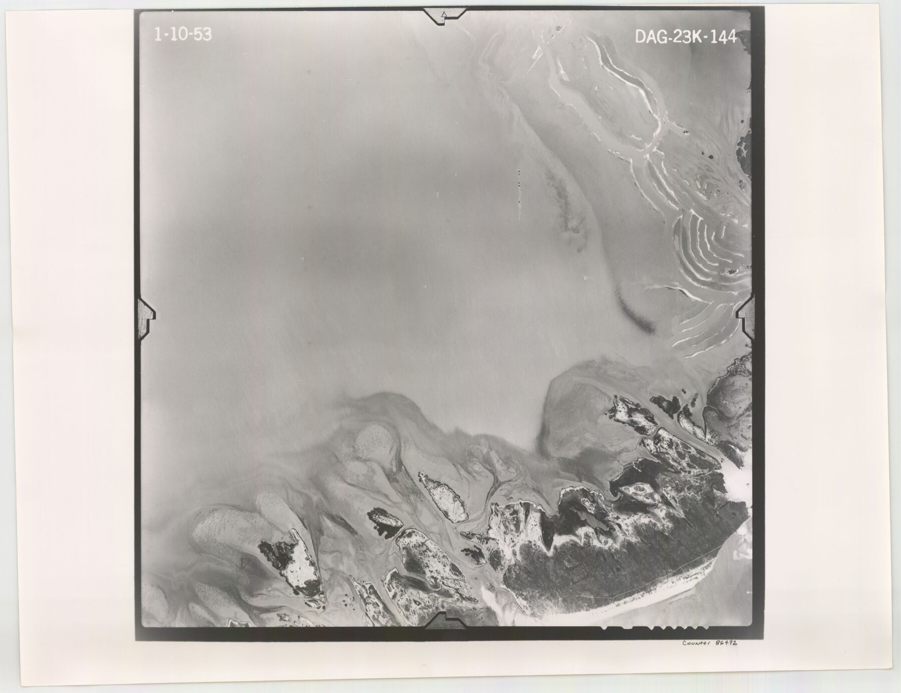
Flight Mission No. DAG-23K, Frame 144, Matagorda County
DAG-23K-144
-
Map/Doc
86492
-
Collection
General Map Collection
-
Object Dates
1953/1/10 (Creation Date)
-
People and Organizations
U. S. Department of Agriculture (Publisher)
-
Counties
Matagorda
-
Subjects
Aerial Photograph
-
Height x Width
17.4 x 22.6 inches
44.2 x 57.4 cm
-
Comments
Flown by Aero Exploration Company of Tulsa, Oklahoma.
Part of: General Map Collection
Uvalde County Working Sketch 5

Print $20.00
- Digital $50.00
Uvalde County Working Sketch 5
1927
Size 13.4 x 18.0 inches
Map/Doc 72075
Plat of Jasper, Sabine, San Augustine, Shelby, Harrison and South Part of Nacogdoches Counties

Print $2.00
- Digital $50.00
Plat of Jasper, Sabine, San Augustine, Shelby, Harrison and South Part of Nacogdoches Counties
1841
Size 13.7 x 9.2 inches
Map/Doc 3174
Pecos County Rolled Sketch 57

Print $20.00
- Digital $50.00
Pecos County Rolled Sketch 57
1917
Size 24.8 x 35.6 inches
Map/Doc 7230
San Patricio County Sketch File 36

Print $26.00
- Digital $50.00
San Patricio County Sketch File 36
1940
Size 11.3 x 8.7 inches
Map/Doc 36129
Starr County Sketch File 18

Print $20.00
- Digital $50.00
Starr County Sketch File 18
1880
Size 38.2 x 25.1 inches
Map/Doc 10606

San Jacinto County Working Sketch 22

Print $20.00
- Digital $50.00
San Jacinto County Working Sketch 22
1940
Size 21.3 x 25.3 inches
Map/Doc 63735
DeWitt County Boundary File 1

Print $74.00
- Digital $50.00
DeWitt County Boundary File 1
Size 23.4 x 14.9 inches
Map/Doc 52479
Coke County Rolled Sketch 11

Print $20.00
- Digital $50.00
Coke County Rolled Sketch 11
1949
Size 32.6 x 26.3 inches
Map/Doc 5512
Burnet County Sketch File 20

Print $4.00
- Digital $50.00
Burnet County Sketch File 20
1862
Size 10.1 x 8.0 inches
Map/Doc 16712
Liberty County Sketch File 39

Print $4.00
- Digital $50.00
Liberty County Sketch File 39
1872
Size 7.4 x 7.8 inches
Map/Doc 29994
Flight Mission No. CGI-4N, Frame 164, Cameron County

Print $20.00
- Digital $50.00
Flight Mission No. CGI-4N, Frame 164, Cameron County
1955
Size 18.6 x 22.3 inches
Map/Doc 84672
You may also like
Liberty County Working Sketch 12

Print $20.00
- Digital $50.00
Liberty County Working Sketch 12
1914
Size 14.0 x 17.5 inches
Map/Doc 70471
Sketch Showing Land Ties with Houston & Texas Central Railroad Through Harris County, Texas

Print $20.00
- Digital $50.00
Sketch Showing Land Ties with Houston & Texas Central Railroad Through Harris County, Texas
1880
Size 7.3 x 27.0 inches
Map/Doc 66739
[South Center of County near surveys 1144 and 1143]
![90502, [South Center of County near surveys 1144 and 1143], Twichell Survey Records](https://historictexasmaps.com/wmedia_w700/maps/90502-1.tif.jpg)
Print $2.00
- Digital $50.00
[South Center of County near surveys 1144 and 1143]
Size 6.6 x 16.1 inches
Map/Doc 90502
Travels to the source of the Missouri River and across the American Continent to the Pacific Ocean - Vol. 1

Travels to the source of the Missouri River and across the American Continent to the Pacific Ocean - Vol. 1
1815
Map/Doc 97411
Map of Texas to accompany Granger's Southern and Western Texas Guide

Print $20.00
- Digital $50.00
Map of Texas to accompany Granger's Southern and Western Texas Guide
1878
Size 26.7 x 20.8 inches
Map/Doc 96612
Hudspeth County Sketch File 10a

Print $4.00
- Digital $50.00
Hudspeth County Sketch File 10a
1902
Size 11.2 x 8.8 inches
Map/Doc 26901
Culberson County Working Sketch 7

Print $20.00
- Digital $50.00
Culberson County Working Sketch 7
1912
Size 21.2 x 17.7 inches
Map/Doc 68459
[Pencil sketch of surveys 820-831 along river]
![91983, [Pencil sketch of surveys 820-831 along river], Twichell Survey Records](https://historictexasmaps.com/wmedia_w700/maps/91983-1.tif.jpg)
Print $20.00
- Digital $50.00
[Pencil sketch of surveys 820-831 along river]
Size 23.0 x 10.3 inches
Map/Doc 91983
Flight Mission No. BRE-2P, Frame 82, Nueces County

Print $20.00
- Digital $50.00
Flight Mission No. BRE-2P, Frame 82, Nueces County
1956
Size 18.5 x 22.6 inches
Map/Doc 86777
Flight Mission No. BRA-16M, Frame 110, Jefferson County

Print $20.00
- Digital $50.00
Flight Mission No. BRA-16M, Frame 110, Jefferson County
1953
Size 18.6 x 22.4 inches
Map/Doc 85720
The Republic County of Robertson. December 29, 1845

Print $20.00
The Republic County of Robertson. December 29, 1845
2020
Size 16.9 x 21.7 inches
Map/Doc 96264
Hudspeth County Working Sketch 9

Print $20.00
- Digital $50.00
Hudspeth County Working Sketch 9
1938
Size 20.1 x 41.1 inches
Map/Doc 66290