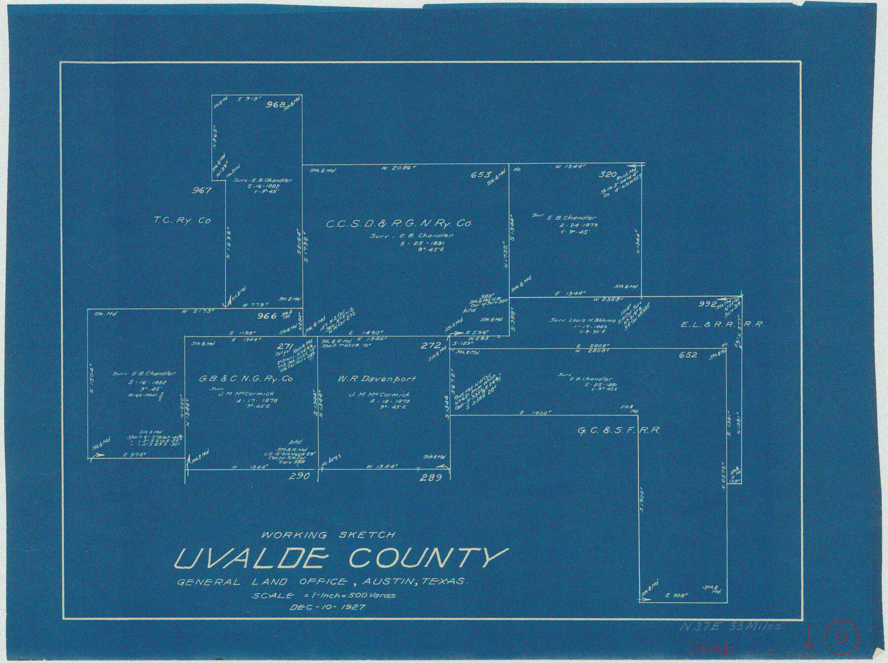
Uvalde County Working Sketch 5
-
Map/Doc
72075
-
Collection
General Map Collection
-
Object Dates
12/10/1927 (Creation Date)
-
Counties
Uvalde
-
Subjects
Surveying Working Sketch
-
Height x Width
13.4 x 18.0 inches
34.0 x 45.7 cm
-
Scale
1" = 500 varas
Part of: General Map Collection
Crosby County Sketch File 13a

Print $44.00
- Digital $50.00
Crosby County Sketch File 13a
1903
Size 8.8 x 4.5 inches
Map/Doc 20036
Medina County Working Sketch 4

Print $40.00
- Digital $50.00
Medina County Working Sketch 4
1945
Size 52.6 x 35.5 inches
Map/Doc 70919
Map of Travis County

Print $40.00
- Digital $50.00
Map of Travis County
1894
Size 49.8 x 58.8 inches
Map/Doc 16904
Panola County

Print $20.00
- Digital $50.00
Panola County
1947
Size 38.6 x 38.2 inches
Map/Doc 77390
Map of Galveston, Turtle & East Bays & Portion of the Gulf of Mexico in Chambers & Galveston Counties, Texas Showing Subdivision Thereof for Mineral Development

Print $40.00
- Digital $50.00
Map of Galveston, Turtle & East Bays & Portion of the Gulf of Mexico in Chambers & Galveston Counties, Texas Showing Subdivision Thereof for Mineral Development
1935
Size 43.6 x 51.1 inches
Map/Doc 78633
Robertson Co.

Print $40.00
- Digital $50.00
Robertson Co.
1945
Size 49.5 x 40.3 inches
Map/Doc 95627
Frio County Rolled Sketch 11

Print $20.00
- Digital $50.00
Frio County Rolled Sketch 11
1948
Size 44.4 x 43.8 inches
Map/Doc 8903
Copy of a portion of Arista's map

Print $20.00
- Digital $50.00
Copy of a portion of Arista's map
1847
Size 27.5 x 18.3 inches
Map/Doc 73057
Kinney County Rolled Sketch 12

Print $20.00
- Digital $50.00
Kinney County Rolled Sketch 12
1947
Size 29.2 x 38.9 inches
Map/Doc 6541
Angelina County

Print $40.00
- Digital $50.00
Angelina County
1945
Size 38.7 x 49.3 inches
Map/Doc 1770
Layout of the porciones as described in the Visita General of Laredo, 1767

Layout of the porciones as described in the Visita General of Laredo, 1767
2009
Size 11.0 x 8.5 inches
Map/Doc 94042
Matagorda County Rolled Sketch 38

Print $295.00
- Digital $50.00
Matagorda County Rolled Sketch 38
1984
Size 23.2 x 23.2 inches
Map/Doc 6697
You may also like
Castro County Sketch File 12

Print $10.00
- Digital $50.00
Castro County Sketch File 12
1910
Size 11.1 x 8.6 inches
Map/Doc 17505
Kimble County Sketch File 16

Print $30.00
- Digital $50.00
Kimble County Sketch File 16
1886
Size 8.5 x 7.9 inches
Map/Doc 28942
Mapa de los Estados Unidos Mejicanos arreglado a la distribucion que en diversos decretos ha hecho del territorio el Congreso General Mejicano

Print $20.00
- Digital $50.00
Mapa de los Estados Unidos Mejicanos arreglado a la distribucion que en diversos decretos ha hecho del territorio el Congreso General Mejicano
Size 24.6 x 30.3 inches
Map/Doc 96514
Crockett County Sketch File D

Print $40.00
- Digital $50.00
Crockett County Sketch File D
1903
Size 24.6 x 48.0 inches
Map/Doc 10347
General Highway Map, Coke County, Texas

Print $20.00
General Highway Map, Coke County, Texas
1940
Size 18.4 x 25.2 inches
Map/Doc 79049
Flight Mission No. BRA-16M, Frame 179, Jefferson County

Print $20.00
- Digital $50.00
Flight Mission No. BRA-16M, Frame 179, Jefferson County
1953
Size 18.7 x 22.2 inches
Map/Doc 85777

Palo Pinto County Boundary File 3

Print $58.00
- Digital $50.00
Palo Pinto County Boundary File 3
Size 14.3 x 8.7 inches
Map/Doc 57800
Sterling County Rolled Sketch 26

Print $20.00
- Digital $50.00
Sterling County Rolled Sketch 26
1955
Size 23.8 x 21.4 inches
Map/Doc 7851
Foard County Sketch File 23

Print $32.00
- Digital $50.00
Foard County Sketch File 23
Size 11.3 x 9.0 inches
Map/Doc 22846
Roberts County Boundary File 2d

Print $20.00
- Digital $50.00
Roberts County Boundary File 2d
Size 9.1 x 28.1 inches
Map/Doc 58366
Pecos County Rolled Sketch 93

Print $40.00
- Digital $50.00
Pecos County Rolled Sketch 93
Size 50.3 x 42.8 inches
Map/Doc 9711