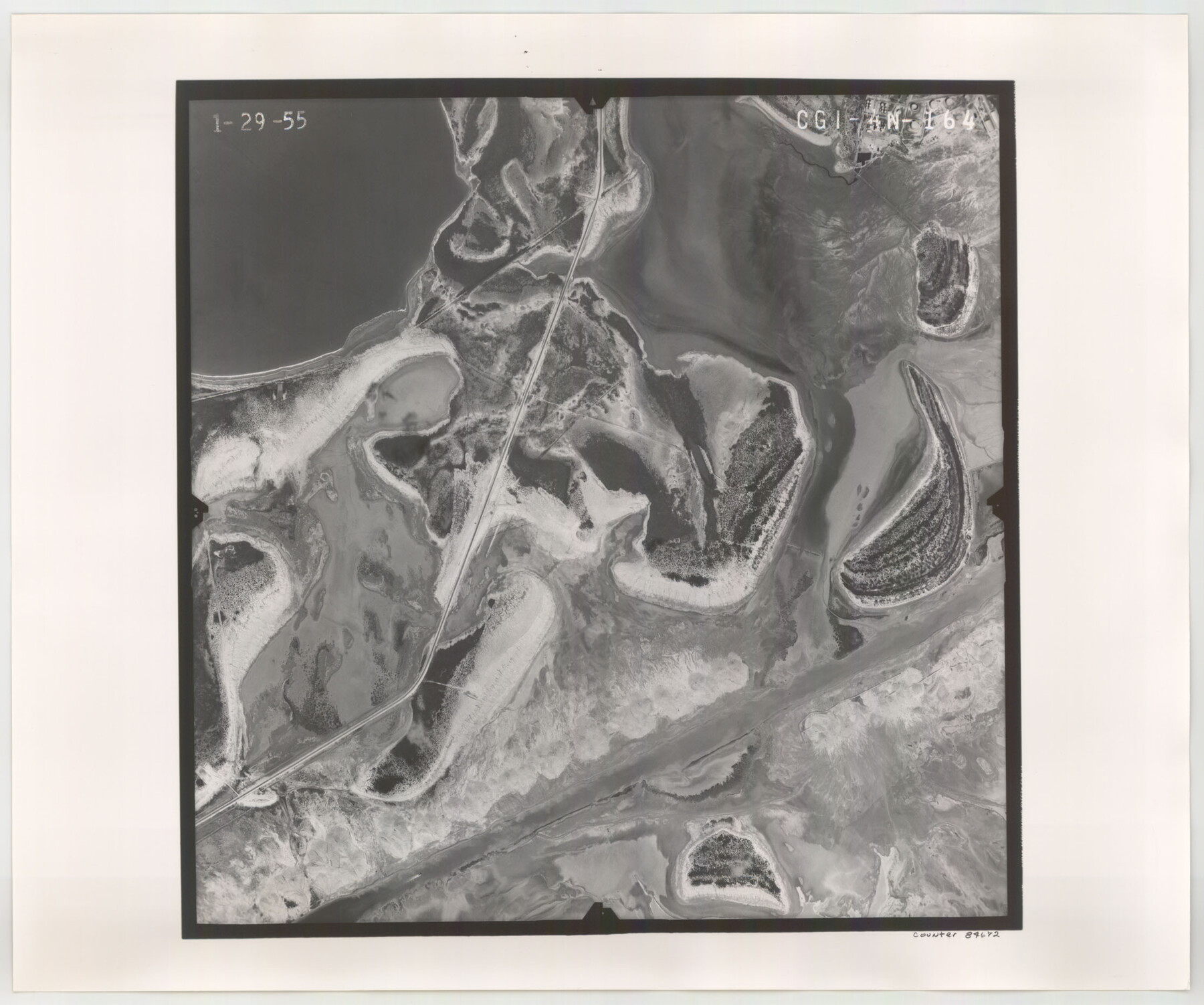
Flight Mission No. CGI-4N, Frame 164, Cameron County
CGI-4N-164
-
Map/Doc
84672
-
Collection
General Map Collection
-
Object Dates
1955/1/29 (Creation Date)
-
People and Organizations
U. S. Department of Agriculture (Publisher)
-
Counties
Cameron
-
Subjects
Aerial Photograph
-
Height x Width
18.6 x 22.3 inches
47.2 x 56.6 cm
-
Comments
Flown by Puckett Aerial Surveys, Inc. of Jackson, Mississippi.
Part of: General Map Collection
Martin County Rolled Sketch 6

Print $20.00
- Digital $50.00
Martin County Rolled Sketch 6
Size 25.8 x 26.9 inches
Map/Doc 6666
Right of Way and Track Map, the Missouri, Kansas & Texas Ry. Of Texas operated by the Missouri, Kansas & Texas Ry. Of Texas, Houston Division

Print $40.00
- Digital $50.00
Right of Way and Track Map, the Missouri, Kansas & Texas Ry. Of Texas operated by the Missouri, Kansas & Texas Ry. Of Texas, Houston Division
1918
Size 25.6 x 62.5 inches
Map/Doc 64786
[Photostats of section of Hydrographic Surveys H-5399, H-4822 and H-470, Mouth of Trinity River]
![61154, [Photostats of section of Hydrographic Surveys H-5399, H-4822 and H-470, Mouth of Trinity River], General Map Collection](https://historictexasmaps.com/wmedia_w700/maps/61154.tif.jpg)
Print $20.00
- Digital $50.00
[Photostats of section of Hydrographic Surveys H-5399, H-4822 and H-470, Mouth of Trinity River]
1933
Size 18.2 x 25.8 inches
Map/Doc 61154
[Sketch for Mineral Application 26543 - Sabine River, D. H. Sanford]
![65678, [Sketch for Mineral Application 26543 - Sabine River, D. H. Sanford], General Map Collection](https://historictexasmaps.com/wmedia_w700/maps/65678.tif.jpg)
Print $40.00
- Digital $50.00
[Sketch for Mineral Application 26543 - Sabine River, D. H. Sanford]
1931
Size 73.0 x 30.3 inches
Map/Doc 65678
[Galveston, Harrisburg & San Antonio Railroad from Cuero to Stockdale]
![64204, [Galveston, Harrisburg & San Antonio Railroad from Cuero to Stockdale], General Map Collection](https://historictexasmaps.com/wmedia_w700/maps/64204.tif.jpg)
Print $20.00
- Digital $50.00
[Galveston, Harrisburg & San Antonio Railroad from Cuero to Stockdale]
1907
Size 13.3 x 33.1 inches
Map/Doc 64204
Young County Working Sketch 25

Print $20.00
- Digital $50.00
Young County Working Sketch 25
1982
Size 12.6 x 14.4 inches
Map/Doc 62048
North Part Brewster Co.

Print $40.00
- Digital $50.00
North Part Brewster Co.
1914
Size 40.6 x 49.2 inches
Map/Doc 66729
Township No. 5 South Range No. 10 West of the Indian Meridian

Print $20.00
- Digital $50.00
Township No. 5 South Range No. 10 West of the Indian Meridian
1874
Size 19.2 x 24.5 inches
Map/Doc 75161
Travis County Appraisal District Plat Map 2_0603

Print $20.00
- Digital $50.00
Travis County Appraisal District Plat Map 2_0603
Size 21.5 x 26.4 inches
Map/Doc 94233
North and South Sulphur Rivers, Sulphur Bluff Sheet

Print $20.00
- Digital $50.00
North and South Sulphur Rivers, Sulphur Bluff Sheet
1933
Size 37.6 x 37.2 inches
Map/Doc 65163
Dimmit County

Print $40.00
- Digital $50.00
Dimmit County
1976
Size 42.2 x 48.9 inches
Map/Doc 77265
La Salle County Working Sketch 43

Print $20.00
- Digital $50.00
La Salle County Working Sketch 43
1976
Size 32.7 x 40.1 inches
Map/Doc 70344
You may also like
The Judicial District/County of Ward. Abolished, Spring 1842

Print $20.00
The Judicial District/County of Ward. Abolished, Spring 1842
2020
Size 18.7 x 21.7 inches
Map/Doc 96355

Taylor County Sketch File 18

Print $6.00
- Digital $50.00
Taylor County Sketch File 18
Size 11.6 x 7.3 inches
Map/Doc 37813
Brewster County Rolled Sketch 52

Print $20.00
- Digital $50.00
Brewster County Rolled Sketch 52
1930
Size 15.3 x 41.4 inches
Map/Doc 61782
Culberson County Working Sketch 56

Print $20.00
- Digital $50.00
Culberson County Working Sketch 56
1974
Size 38.7 x 32.1 inches
Map/Doc 68510
Starr County Boundary File 44

Print $98.00
- Digital $50.00
Starr County Boundary File 44
Size 8.8 x 12.8 inches
Map/Doc 58818
Menard County Boundary File 7

Print $6.00
- Digital $50.00
Menard County Boundary File 7
Size 10.5 x 8.1 inches
Map/Doc 57089
Runnels County Rolled Sketch 1

Print $20.00
- Digital $50.00
Runnels County Rolled Sketch 1
1854
Size 28.0 x 18.4 inches
Map/Doc 75941
Trinity River, Waxahachie Sheet/Waxahachie Creek

Print $6.00
- Digital $50.00
Trinity River, Waxahachie Sheet/Waxahachie Creek
1931
Size 30.1 x 32.8 inches
Map/Doc 65237
Terry County Rolled Sketch 10

Print $20.00
- Digital $50.00
Terry County Rolled Sketch 10
2001
Size 25.2 x 23.8 inches
Map/Doc 76414
Baylor County Sketch File 13

Print $4.00
- Digital $50.00
Baylor County Sketch File 13
1856
Size 13.5 x 8.5 inches
Map/Doc 14179
Donley County Working Sketch 2

Print $20.00
- Digital $50.00
Donley County Working Sketch 2
1916
Size 15.2 x 17.1 inches
Map/Doc 68735