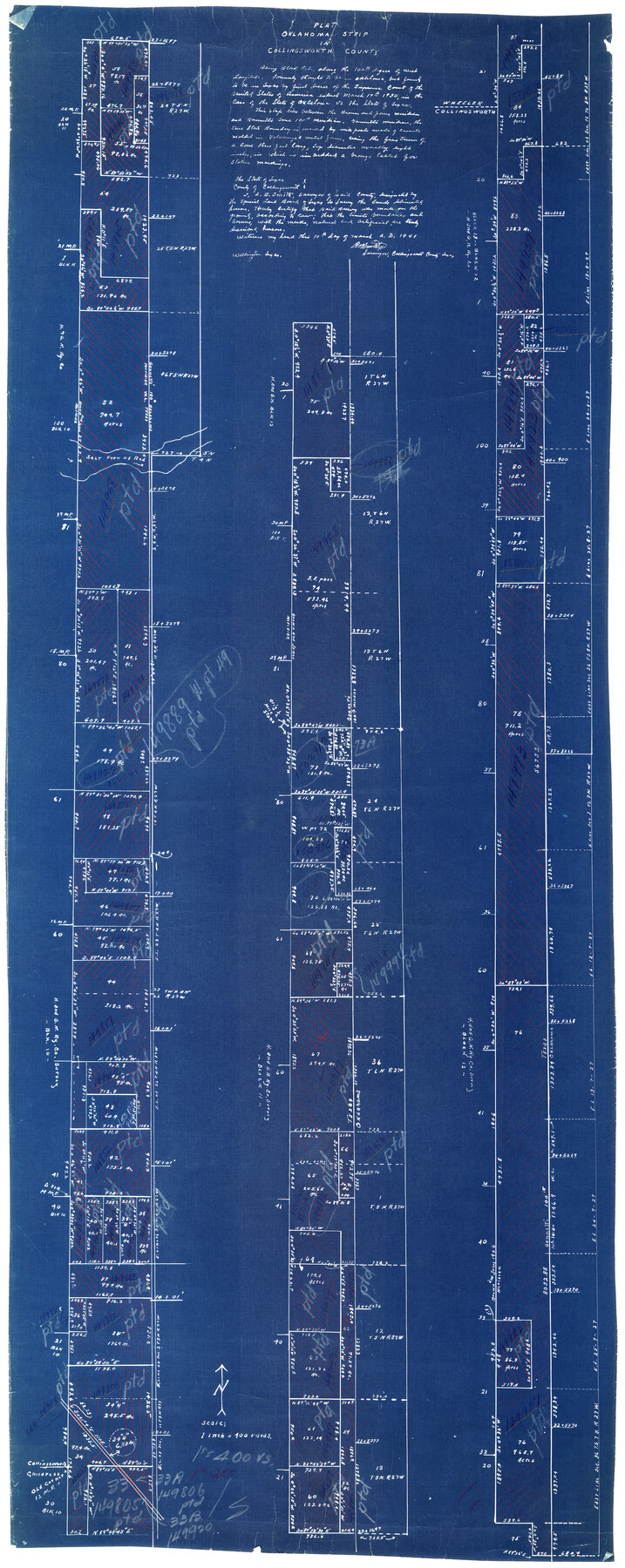
Collingsworth County Rolled Sketch 3
Plat, Oklahoma Strip in Collingsworth County
-
Map/Doc
8639
-
Collection
General Map Collection
-
Object Dates
1941/3/10 (Creation Date)
1948/3/29 (File Date)
-
People and Organizations
A.B. Smith (Surveyor/Engineer)
-
Counties
Collingsworth
-
Subjects
Surveying Rolled Sketch
-
Height x Width
55.7 x 23.2 inches
141.5 x 58.9 cm
-
Medium
blueprint/diazo
-
Scale
1" = 400 varas
Part of: General Map Collection
Hardin County Working Sketch 21

Print $20.00
- Digital $50.00
Hardin County Working Sketch 21
1947
Size 43.2 x 38.4 inches
Map/Doc 63419
Fisher County Sketch File A

Print $20.00
- Digital $50.00
Fisher County Sketch File A
1901
Size 33.1 x 22.8 inches
Map/Doc 11482
Cass County Sketch File 1

Print $4.00
- Digital $50.00
Cass County Sketch File 1
1857
Size 11.6 x 8.2 inches
Map/Doc 17392

Harris County Boundary File 39 (17)

Print $4.00
- Digital $50.00
Harris County Boundary File 39 (17)
Size 10.0 x 8.1 inches
Map/Doc 54357
Real County Sketch File 11

Print $8.00
- Digital $50.00
Real County Sketch File 11
1932
Size 11.2 x 8.8 inches
Map/Doc 35065
Nueces County Rolled Sketch 48

Print $20.00
- Digital $50.00
Nueces County Rolled Sketch 48
1957
Size 33.1 x 45.1 inches
Map/Doc 6887
Flight Mission No. BQR-16K, Frame 35, Brazoria County

Print $20.00
- Digital $50.00
Flight Mission No. BQR-16K, Frame 35, Brazoria County
1952
Size 18.5 x 22.2 inches
Map/Doc 84102
Jeff Davis County Sketch File 44

Print $8.00
- Digital $50.00
Jeff Davis County Sketch File 44
1886
Size 8.5 x 8.0 inches
Map/Doc 28071
Reeves County Working Sketch 24

Print $40.00
- Digital $50.00
Reeves County Working Sketch 24
1966
Size 38.7 x 76.5 inches
Map/Doc 63467
Oldham County Working Sketch 5

Print $40.00
- Digital $50.00
Oldham County Working Sketch 5
1951
Size 43.0 x 59.3 inches
Map/Doc 71327
Gregg County Sketch File 10

Print $20.00
- Digital $50.00
Gregg County Sketch File 10
1932
Size 35.1 x 26.0 inches
Map/Doc 11588
You may also like
Rio Grande, Hargill Sheet

Print $20.00
- Digital $50.00
Rio Grande, Hargill Sheet
1937
Size 37.3 x 37.8 inches
Map/Doc 65109
Map of Chicago, Rock Island & Texas Railway through Wise and Tarrant County, Texas

Print $20.00
- Digital $50.00
Map of Chicago, Rock Island & Texas Railway through Wise and Tarrant County, Texas
1893
Size 19.6 x 43.7 inches
Map/Doc 64429
Midland County Working Sketch 19a

Print $20.00
- Digital $50.00
Midland County Working Sketch 19a
Size 20.2 x 23.4 inches
Map/Doc 71000
Flight Mission No. BQR-14K, Frame 36, Brazoria County

Print $20.00
- Digital $50.00
Flight Mission No. BQR-14K, Frame 36, Brazoria County
1952
Size 18.6 x 22.3 inches
Map/Doc 84093
Hall County Sketch File 34

Print $6.00
- Digital $50.00
Hall County Sketch File 34
1913
Size 15.1 x 9.5 inches
Map/Doc 24882
Tarrant County Boundary File 3

Print $30.00
- Digital $50.00
Tarrant County Boundary File 3
Size 11.4 x 8.8 inches
Map/Doc 59136

The Republic County of Austin. December 29, 1845

Print $20.00
The Republic County of Austin. December 29, 1845
2020
Size 14.7 x 21.6 inches
Map/Doc 96088
Map of Stephens County

Print $20.00
- Digital $50.00
Map of Stephens County
1879
Size 24.0 x 19.6 inches
Map/Doc 4053
Upton County Working Sketch 38

Print $20.00
- Digital $50.00
Upton County Working Sketch 38
1957
Size 23.3 x 32.8 inches
Map/Doc 69534
Rusk County Working Sketch 14

Print $20.00
- Digital $50.00
Rusk County Working Sketch 14
1976
Size 38.9 x 37.7 inches
Map/Doc 63649
Right of Way and Track Map International & Gt Northern Ry. operated by the International & Gt. Northern Ry. Co., San Antonio Division

Print $40.00
- Digital $50.00
Right of Way and Track Map International & Gt Northern Ry. operated by the International & Gt. Northern Ry. Co., San Antonio Division
1917
Size 25.4 x 58.1 inches
Map/Doc 64787