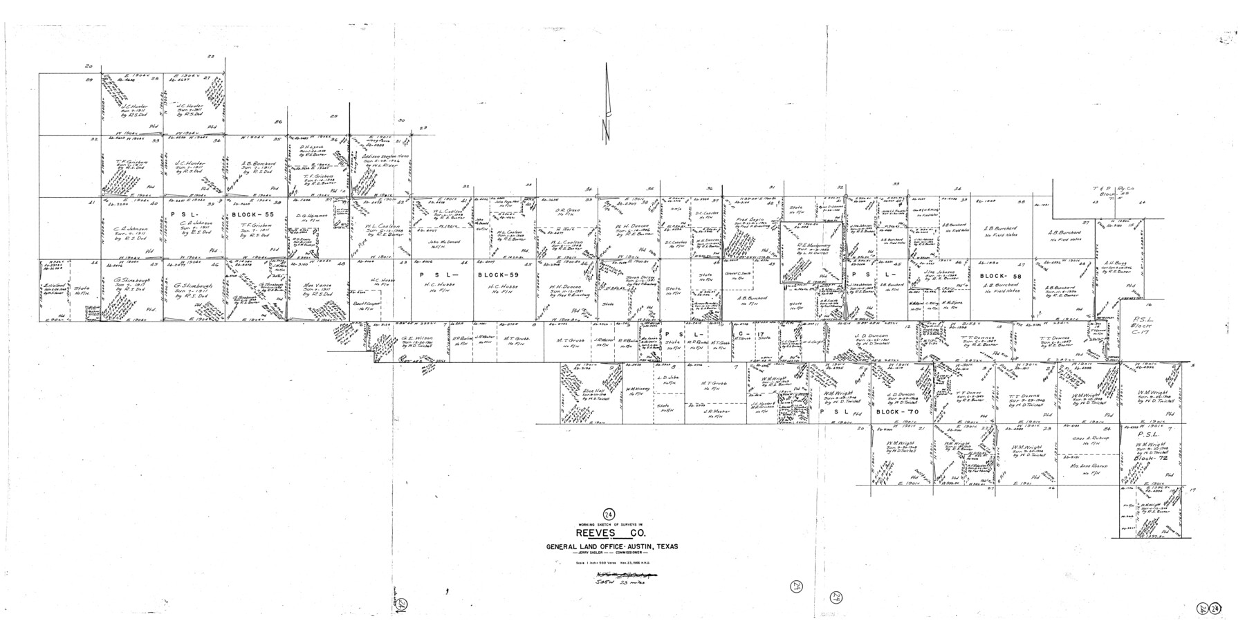
Reeves County Working Sketch 24
- 
                          Map/Doc63467
- 
                            CollectionGeneral Map Collection
- 
                            Object Dates11/23/1966 (Creation Date)
- 
                            People and OrganizationsHerbert H. Ulbricht (Draftsman)
- 
                            CountiesReeves
- 
                            SubjectsSurveying Working Sketch
- 
                            Height x Width38.7 x 76.5 inches98.3 x 194.3 cm
- 
                            Scale1" = 500 varas
Part of: General Map Collection
            King County Boundary File 5a


                                            Print $40.00                    
                                             -                         Digital $50.00                                    
                King County Boundary File 5a
Size 10.3 x 38.1 inches
                                Map/Doc 64922
            
            Montgomery County Sketch File 36


                                            Print $40.00                    
                                             -                         Digital $50.00                                    
                Montgomery County Sketch File 36
1953
Size 51.7 x 34.9 inches
                                Map/Doc 10551
            
            Ward County Working Sketch 29


                                            Print $40.00                    
                                             -                         Digital $50.00                                    
                Ward County Working Sketch 29
1964
Size 49.3 x 26.9 inches
                                Map/Doc 72335
            
            Chambers County Rolled Sketch 21


                                            Print $20.00                    
                                             -                         Digital $50.00                                    
                Chambers County Rolled Sketch 21
1940
Size 42.2 x 44.9 inches
                                Map/Doc 8590
            
            Uvalde County Sketch File 33


                                            Print $56.00                    
                                             -                         Digital $50.00                                    
                Uvalde County Sketch File 33
2017
Size 11.0 x 8.5 inches
                                Map/Doc 95251
            
            San Augustine County Sketch File 1


                                            Print $4.00                    
                                    
                San Augustine County Sketch File 1
1849
Size 9.3 x 8.2 inches
                                Map/Doc 35631
            
            Newton County Rolled Sketch 5


                                            Print $20.00                    
                                             -                         Digital $50.00                                    
                Newton County Rolled Sketch 5
Size 20.5 x 42.5 inches
                                Map/Doc 6841
            
            Pecos County Working Sketch 91a


                                            Print $40.00                    
                                             -                         Digital $50.00                                    
                Pecos County Working Sketch 91a
1965
Size 78.9 x 32.5 inches
                                Map/Doc 71563
            
            Liberty County Working Sketch 60


                                            Print $20.00                    
                                             -                         Digital $50.00                                    
                Liberty County Working Sketch 60
1969
Size 41.3 x 34.1 inches
                                Map/Doc 70520
            
            Jack County Sketch File 36


                                            Print $120.00                    
                                             -                         Digital $50.00                                    
                Jack County Sketch File 36
1882
Size 16.3 x 11.0 inches
                                Map/Doc 27575
            
            Map of Tom Green County


                                            Print $20.00                    
                                             -                         Digital $50.00                                    
                Map of Tom Green County
1892
Size 42.9 x 46.2 inches
                                Map/Doc 78390
            You may also like
            Brooks County Rolled Sketch 11


                                            Print $20.00                    
                                             -                         Digital $50.00                                    
                Brooks County Rolled Sketch 11
1906
Size 29.0 x 28.4 inches
                                Map/Doc 5337
            
            Hopkins County Sketch File 8


                                            Print $6.00                    
                                             -                         Digital $50.00                                    
                Hopkins County Sketch File 8
1856
Size 11.8 x 8.6 inches
                                Map/Doc 26695
            
            Madison County Working Sketch 3


                                            Print $20.00                    
                                             -                         Digital $50.00                                    
                Madison County Working Sketch 3
1945
Size 29.3 x 21.6 inches
                                Map/Doc 70765
            
            Flight Mission No. BRA-17M, Frame 14, Jefferson County


                                            Print $20.00                    
                                             -                         Digital $50.00                                    
                Flight Mission No. BRA-17M, Frame 14, Jefferson County
1953
Size 18.5 x 22.3 inches
                                Map/Doc 85795
            
            Webb County Boundary File 4


                                            Print $8.00                    
                                             -                         Digital $50.00                                    
                Webb County Boundary File 4
Size 11.2 x 8.8 inches
                                Map/Doc 59761
            
            General Highway Map.  Detail of Cities and Towns in Dallas County, Texas [Dallas and vicinity]
            
                                    ![79435, General Highway Map.  Detail of Cities and Towns in Dallas County, Texas [Dallas and vicinity], Texas State Library and Archives](https://historictexasmaps.com/wmedia_w700/maps/79435.tif.jpg) 


    ![79435, General Highway Map.  Detail of Cities and Towns in Dallas County, Texas [Dallas and vicinity], Texas State Library and Archives](https://historictexasmaps.com/wmedia_w700/maps/79435.tif.jpg) 
                                
            
                                            Print $20.00                    
                                    
                General Highway Map. Detail of Cities and Towns in Dallas County, Texas [Dallas and vicinity]
1961
Size 18.2 x 24.6 inches
                                Map/Doc 79435
            
            Cooke County Sketch File 11


                                            Print $4.00                    
                                             -                         Digital $50.00                                    
                Cooke County Sketch File 11
1858
Size 12.4 x 8.2 inches
                                Map/Doc 19244
            
            Controlled Mosaic by Jack Amman Photogrammetric Engineers, Inc - Sheet 25


                                            Print $20.00                    
                                             -                         Digital $50.00                                    
                Controlled Mosaic by Jack Amman Photogrammetric Engineers, Inc - Sheet 25
1954
Size 20.0 x 24.0 inches
                                Map/Doc 83476
            
            [Sketch for Mineral Application 16700 - Pecos River Bed]
            
                                    ![2808, [Sketch for Mineral Application 16700 - Pecos River Bed], General Map Collection](https://historictexasmaps.com/wmedia_w700/maps/2808.tif.jpg) 


    ![2808, [Sketch for Mineral Application 16700 - Pecos River Bed], General Map Collection](https://historictexasmaps.com/wmedia_w700/maps/2808.tif.jpg) 
                                
            
                                            Print $20.00                    
                                             -                         Digital $50.00                                    
                [Sketch for Mineral Application 16700 - Pecos River Bed]
1927
Size 19.9 x 30.9 inches
                                Map/Doc 2808
            
            Runnels County Rolled Sketch 44


                                            Print $40.00                    
                                             -                         Digital $50.00                                    
                Runnels County Rolled Sketch 44
Size 43.0 x 53.9 inches
                                Map/Doc 9871
            
            Real County Working Sketch 75


                                            Print $20.00                    
                                             -                         Digital $50.00                                    
                Real County Working Sketch 75
1979
Size 29.0 x 28.6 inches
                                Map/Doc 71967
            
            Brewster County Working Sketch 35


                                            Print $20.00                    
                                             -                         Digital $50.00                                    
                Brewster County Working Sketch 35
1943
Size 21.0 x 19.4 inches
                                Map/Doc 67569
             
                        