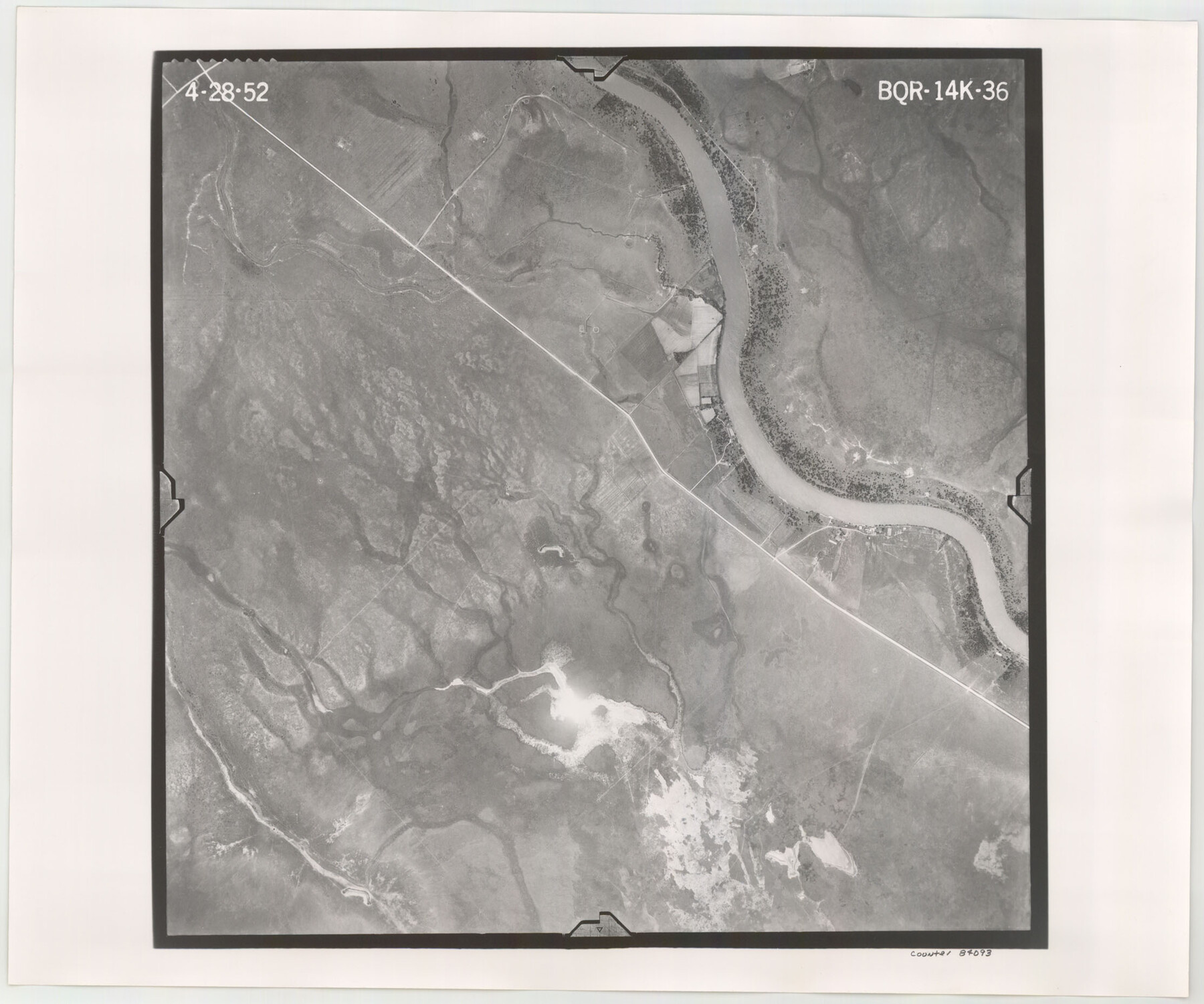
Flight Mission No. BQR-14K, Frame 36, Brazoria County
BQR-14K-36
-
Map/Doc
84093
-
Collection
General Map Collection
-
Object Dates
1952/4/28 (Creation Date)
-
People and Organizations
U. S. Department of Agriculture (Publisher)
-
Counties
Brazoria
-
Subjects
Aerial Photograph
-
Height x Width
18.6 x 22.3 inches
47.2 x 56.6 cm
-
Comments
Flown by Aero Exploration Company of Tulsa, Oklahoma.
Part of: General Map Collection
Reagan County Working Sketch 25

Print $20.00
- Digital $50.00
Reagan County Working Sketch 25
1958
Size 45.8 x 42.8 inches
Map/Doc 71867
Wise County Sketch File 12

Print $20.00
- Digital $50.00
Wise County Sketch File 12
1854
Size 13.4 x 19.0 inches
Map/Doc 12699
Sherman County Sketch File 7

Print $2.00
- Digital $50.00
Sherman County Sketch File 7
1993
Size 14.6 x 9.0 inches
Map/Doc 36725
Ennis, Ellis County, Texas

Print $20.00
- Digital $50.00
Ennis, Ellis County, Texas
1934
Size 34.6 x 22.9 inches
Map/Doc 4826
Andrews County Working Sketch 6

Print $20.00
- Digital $50.00
Andrews County Working Sketch 6
1954
Size 18.4 x 42.9 inches
Map/Doc 67052
Orange County Sketch File 34

Print $20.00
- Digital $50.00
Orange County Sketch File 34
1929
Size 23.5 x 27.7 inches
Map/Doc 12126
Mason County Rolled Sketch 3

Print $20.00
- Digital $50.00
Mason County Rolled Sketch 3
1965
Size 30.3 x 22.8 inches
Map/Doc 6676
Right of Way and Track Map - Houston & Texas Central R.R. operated by the T. and N. O. R.R. Co. - Main Line

Print $40.00
- Digital $50.00
Right of Way and Track Map - Houston & Texas Central R.R. operated by the T. and N. O. R.R. Co. - Main Line
1918
Size 25.2 x 57.8 inches
Map/Doc 82859
Pecos County Sketch File 21

Print $20.00
- Digital $50.00
Pecos County Sketch File 21
1886
Size 21.6 x 18.5 inches
Map/Doc 12161
Flight Mission No. BQR-20K, Frame 7, Brazoria County

Print $20.00
- Digital $50.00
Flight Mission No. BQR-20K, Frame 7, Brazoria County
1952
Size 18.6 x 22.4 inches
Map/Doc 84109
Andrews County Working Sketch 31

Print $20.00
- Digital $50.00
Andrews County Working Sketch 31
1990
Size 42.9 x 30.0 inches
Map/Doc 67077
Val Verde County Working Sketch 99

Print $20.00
- Digital $50.00
Val Verde County Working Sketch 99
1981
Size 17.2 x 22.6 inches
Map/Doc 72234
You may also like
Map of the River Sabine from its mouth on the Gulf of Mexico in the Sea to Logan's Ferry in Latitude 31°58'24" North

Print $40.00
- Digital $50.00
Map of the River Sabine from its mouth on the Gulf of Mexico in the Sea to Logan's Ferry in Latitude 31°58'24" North
1842
Size 173.2 x 31.0 inches
Map/Doc 1744
Coleman County Boundary File 17 (3)

Print $36.00
- Digital $50.00
Coleman County Boundary File 17 (3)
Size 22.0 x 5.9 inches
Map/Doc 51654
State University and PSL Blocks 1 through 77 in Andrews, Culberson, Crane, Ector, El Paso, Gaines, Loving, Martin, Reeves, Tom Green, Ward County, and Winkler Counties

State University and PSL Blocks 1 through 77 in Andrews, Culberson, Crane, Ector, El Paso, Gaines, Loving, Martin, Reeves, Tom Green, Ward County, and Winkler Counties
Map/Doc 81652
Crockett County Sketch File 49 and 50

Print $14.00
- Digital $50.00
Crockett County Sketch File 49 and 50
Size 14.3 x 8.8 inches
Map/Doc 19792
Limestone County Working Sketch 24

Print $20.00
- Digital $50.00
Limestone County Working Sketch 24
1980
Size 28.9 x 31.6 inches
Map/Doc 70574
Flight Mission No. DCL-6C, Frame 52, Kenedy County

Print $20.00
- Digital $50.00
Flight Mission No. DCL-6C, Frame 52, Kenedy County
1943
Size 18.6 x 22.4 inches
Map/Doc 85894
Armstrong County Sketch File A-3

Print $40.00
- Digital $50.00
Armstrong County Sketch File A-3
Size 21.3 x 23.7 inches
Map/Doc 10844
Live Oak County Boundary File 60d

Print $4.00
- Digital $50.00
Live Oak County Boundary File 60d
Size 14.2 x 8.8 inches
Map/Doc 56423
Mitchell County Boundary File 1

Print $38.00
- Digital $50.00
Mitchell County Boundary File 1
Size 9.1 x 8.4 inches
Map/Doc 57334
Kendall County Working Sketch 3

Print $20.00
- Digital $50.00
Kendall County Working Sketch 3
1941
Size 18.0 x 18.3 inches
Map/Doc 66675
Wilbarger County Sketch File 27

Print $4.00
- Digital $50.00
Wilbarger County Sketch File 27
1894
Size 14.0 x 8.5 inches
Map/Doc 40229
Kimble County Working Sketch 29

Print $20.00
- Digital $50.00
Kimble County Working Sketch 29
1941
Size 24.7 x 15.3 inches
Map/Doc 70097