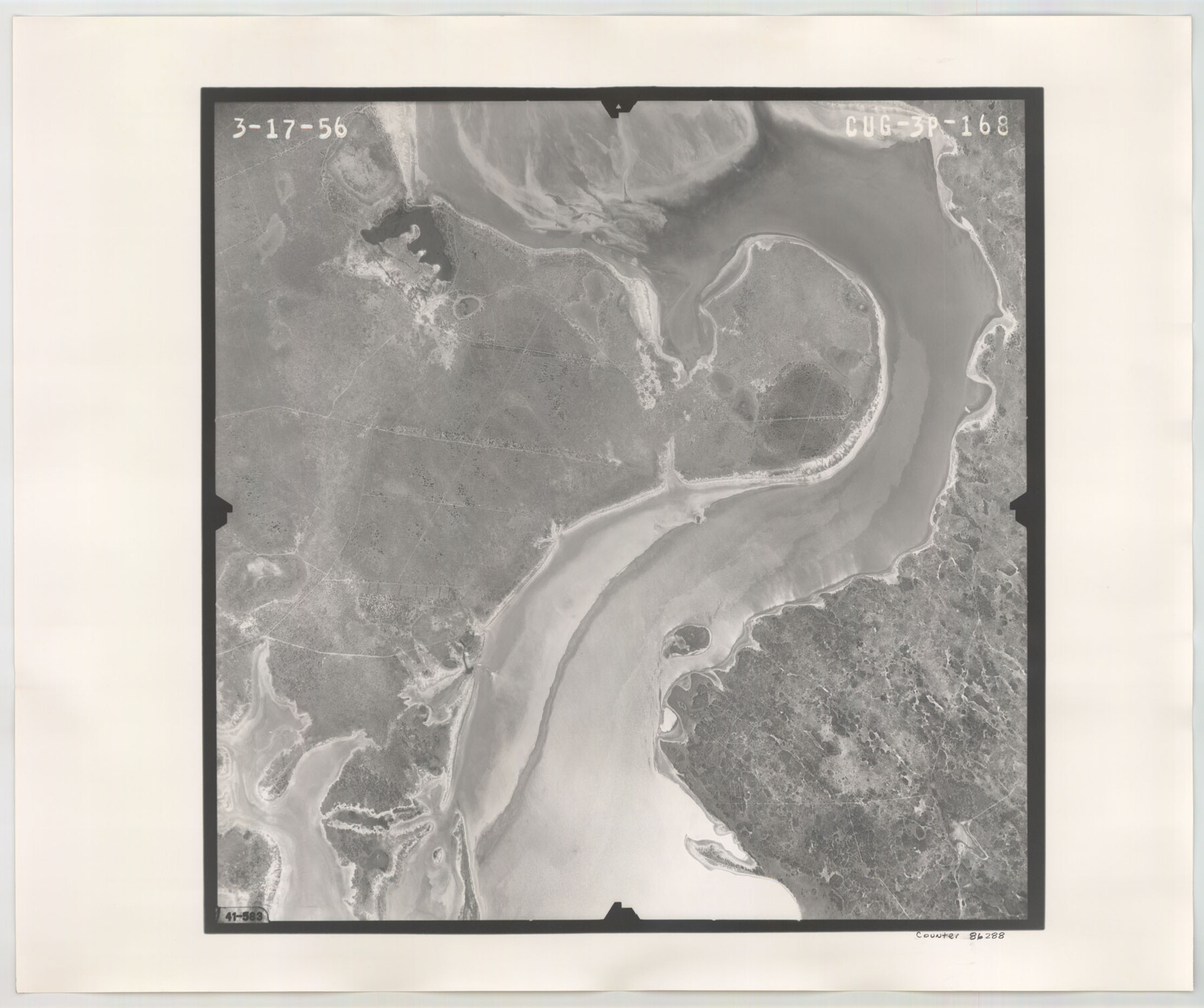
Flight Mission No. CUG-3P, Frame 168, Kleberg County
CUG-3P-168
-
Map/Doc
86288
-
Collection
General Map Collection
-
Object Dates
1956/3/17 (Creation Date)
-
People and Organizations
U. S. Department of Agriculture (Publisher)
-
Counties
Kleberg
-
Subjects
Aerial Photograph
-
Height x Width
18.6 x 22.3 inches
47.2 x 56.6 cm
-
Comments
Flown by V. L. Beavers and Associates of San Antonio, Texas.
Part of: General Map Collection
Jones County Sketch File 3

Print $4.00
- Digital $50.00
Jones County Sketch File 3
1854
Size 13.3 x 8.0 inches
Map/Doc 28488
Flight Mission No. DQO-1K, Frame 117, Galveston County

Print $20.00
- Digital $50.00
Flight Mission No. DQO-1K, Frame 117, Galveston County
1952
Size 18.9 x 22.5 inches
Map/Doc 84995
A Traveler's Map of Spain and Portugal

A Traveler's Map of Spain and Portugal
Size 20.4 x 31.2 inches
Map/Doc 95929
Rusk County Sketch File 10

Print $4.00
Rusk County Sketch File 10
1849
Size 8.1 x 7.3 inches
Map/Doc 35507
Hardin County Rolled Sketch 12

Print $20.00
- Digital $50.00
Hardin County Rolled Sketch 12
1949
Size 36.3 x 47.3 inches
Map/Doc 10200
Frio County Boundary File 31

Print $19.00
- Digital $50.00
Frio County Boundary File 31
Size 9.3 x 4.4 inches
Map/Doc 53609
Flight Mission No. DCL-7C, Frame 120, Kenedy County

Print $20.00
- Digital $50.00
Flight Mission No. DCL-7C, Frame 120, Kenedy County
1943
Size 18.5 x 22.4 inches
Map/Doc 86085
Swisher County Boundary File 2

Print $106.00
- Digital $50.00
Swisher County Boundary File 2
Size 14.3 x 9.0 inches
Map/Doc 59093
Gaines County Rolled Sketch 9

Print $20.00
- Digital $50.00
Gaines County Rolled Sketch 9
Size 20.9 x 29.8 inches
Map/Doc 5929
Montgomery County Rolled Sketch 32

Print $40.00
- Digital $50.00
Montgomery County Rolled Sketch 32
1949
Size 59.9 x 40.4 inches
Map/Doc 9540
San Patricio County Sketch File 38

Print $112.00
- Digital $50.00
San Patricio County Sketch File 38
Size 7.9 x 7.3 inches
Map/Doc 36176
Kleberg County Rolled Sketch 13

Print $20.00
- Digital $50.00
Kleberg County Rolled Sketch 13
1995
Size 39.3 x 33.8 inches
Map/Doc 6554
You may also like
Map of Milam County

Print $20.00
- Digital $50.00
Map of Milam County
1868
Size 28.2 x 23.9 inches
Map/Doc 3882
Map of Tyler County, Texas

Print $20.00
- Digital $50.00
Map of Tyler County, Texas
1881
Size 22.3 x 24.2 inches
Map/Doc 762
Pecos County Rolled Sketch 6

Print $20.00
- Digital $50.00
Pecos County Rolled Sketch 6
Size 43.6 x 31.2 inches
Map/Doc 9680
Wichita County Working Sketch 16

Print $20.00
- Digital $50.00
Wichita County Working Sketch 16
1939
Size 21.4 x 34.7 inches
Map/Doc 72526
[Tie line between Indianola RR. Co. Block H and H. & G. N. RR. Co. Block G and vicinity]
![93007, [Tie line between Indianola RR. Co. Block H and H. & G. N. RR. Co. Block G and vicinity], Twichell Survey Records](https://historictexasmaps.com/wmedia_w700/maps/93007-1.tif.jpg)
Print $20.00
- Digital $50.00
[Tie line between Indianola RR. Co. Block H and H. & G. N. RR. Co. Block G and vicinity]
1904
Size 21.9 x 10.1 inches
Map/Doc 93007
Permanent Lakes and Marshes in Calhoun, Victoria and Jackson Cos. for Mineral Development

Print $20.00
- Digital $50.00
Permanent Lakes and Marshes in Calhoun, Victoria and Jackson Cos. for Mineral Development
1937
Size 36.9 x 38.9 inches
Map/Doc 2973
Menard County Boundary File 1a

Print $8.00
- Digital $50.00
Menard County Boundary File 1a
Size 12.7 x 8.2 inches
Map/Doc 57042
Mapa de los Estados Unidos de Méjico, Segun lo organizado y definido por las varias actas del Congreso de dicha Republica: y construido por las mejores autoridades

Print $20.00
Mapa de los Estados Unidos de Méjico, Segun lo organizado y definido por las varias actas del Congreso de dicha Republica: y construido por las mejores autoridades
1847
Size 29.6 x 42.4 inches
Map/Doc 76221
Pecos County Rolled Sketch 102

Print $20.00
- Digital $50.00
Pecos County Rolled Sketch 102
Size 28.9 x 26.4 inches
Map/Doc 7250
Brewster County Working Sketch 15a

Print $40.00
- Digital $50.00
Brewster County Working Sketch 15a
1953
Size 22.6 x 49.1 inches
Map/Doc 67549
Gregg County Rolled Sketch 26

Print $40.00
- Digital $50.00
Gregg County Rolled Sketch 26
1937
Size 25.8 x 129.0 inches
Map/Doc 9077
Galveston County NRC Article 33.136 Location Key Sheet

Print $20.00
- Digital $50.00
Galveston County NRC Article 33.136 Location Key Sheet
1974
Size 27.0 x 23.0 inches
Map/Doc 77022