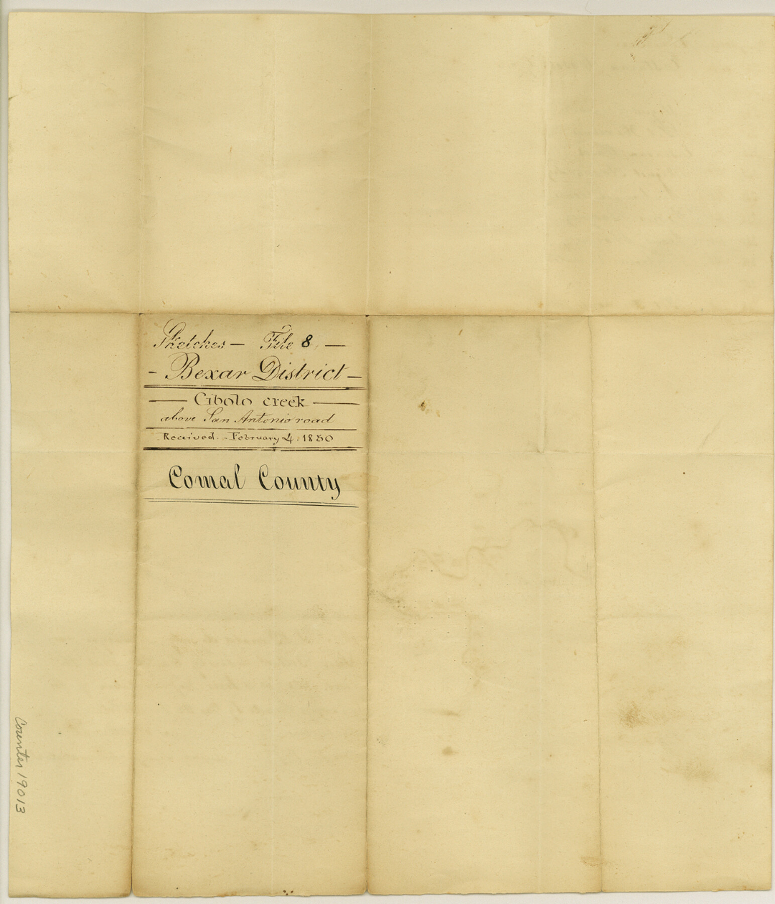
Comal County Sketch File 8
[Sketch of surveys on Cibolo Creek above San Antonio Road]
-
Map/Doc
19013
-
Collection
General Map Collection
-
Object Dates
1849/3/27 (Creation Date)
1850/2/4 (File Date)
-
People and Organizations
J.S. McDonald (Surveyor/Engineer)
J.S. McDonald (Draftsman)
-
Counties
Comal Bexar
-
Subjects
Surveying Sketch File
-
Height x Width
12.6 x 10.8 inches
32.0 x 27.4 cm
-
Medium
paper, manuscript
-
Features
Cibolo Creek
San Antonio Road
Part of: General Map Collection
Coryell County Sketch File 20

Print $20.00
- Digital $50.00
Coryell County Sketch File 20
Size 25.8 x 20.1 inches
Map/Doc 11183
Dimmit County Sketch File 50

Print $36.00
- Digital $50.00
Dimmit County Sketch File 50
1909
Size 18.2 x 20.4 inches
Map/Doc 21181
Map of Refugio County

Print $20.00
- Digital $50.00
Map of Refugio County
1875
Size 20.9 x 28.2 inches
Map/Doc 3988
Briscoe County Working Sketch 2

Print $20.00
- Digital $50.00
Briscoe County Working Sketch 2
1913
Size 25.4 x 23.9 inches
Map/Doc 67805
Hemphill County Rolled Sketch 19

Print $20.00
- Digital $50.00
Hemphill County Rolled Sketch 19
Size 31.2 x 32.2 inches
Map/Doc 9158
Kimble County Working Sketch 78

Print $20.00
- Digital $50.00
Kimble County Working Sketch 78
1970
Size 46.0 x 31.6 inches
Map/Doc 70146
Live Oak County Sketch File 15

Print $4.00
- Digital $50.00
Live Oak County Sketch File 15
Size 12.6 x 8.1 inches
Map/Doc 30280
Wilson County Working Sketch 6

Print $20.00
- Digital $50.00
Wilson County Working Sketch 6
1955
Size 39.4 x 32.3 inches
Map/Doc 72586
Terry County Sketch File 2

Print $8.00
- Digital $50.00
Terry County Sketch File 2
Size 8.9 x 11.4 inches
Map/Doc 38012
Glasscock County Rolled Sketch 14

Print $20.00
- Digital $50.00
Glasscock County Rolled Sketch 14
1957
Size 29.0 x 26.3 inches
Map/Doc 6020
Cooke County Sketch File 40

Print $20.00
- Digital $50.00
Cooke County Sketch File 40
Size 36.3 x 34.0 inches
Map/Doc 10341
Jim Hogg County Rolled Sketch 6

Print $40.00
- Digital $50.00
Jim Hogg County Rolled Sketch 6
1943
Size 51.9 x 38.4 inches
Map/Doc 9322
You may also like
Andrews County Rolled Sketch 32

Print $20.00
- Digital $50.00
Andrews County Rolled Sketch 32
1950
Size 26.2 x 16.4 inches
Map/Doc 77176
Hardin County Sketch File 65

Print $15.00
- Digital $50.00
Hardin County Sketch File 65
Size 14.4 x 9.0 inches
Map/Doc 25245
General Highway Map. Detail of Cities and Towns in Dallas County, Texas [Dallas and vicinity]
![79432, General Highway Map. Detail of Cities and Towns in Dallas County, Texas [Dallas and vicinity], Texas State Library and Archives](https://historictexasmaps.com/wmedia_w700/maps/79432.tif.jpg)
Print $20.00
General Highway Map. Detail of Cities and Towns in Dallas County, Texas [Dallas and vicinity]
1961
Size 18.1 x 24.7 inches
Map/Doc 79432
Motley County Sketch File 5 (S)

Print $20.00
- Digital $50.00
Motley County Sketch File 5 (S)
Size 20.5 x 19.4 inches
Map/Doc 42138
Scurry County Sketch File 5

Print $4.00
- Digital $50.00
Scurry County Sketch File 5
1990
Size 14.4 x 8.9 inches
Map/Doc 36568
Gregg County Working Sketch 11b

Print $20.00
- Digital $50.00
Gregg County Working Sketch 11b
1940
Size 11.9 x 15.3 inches
Map/Doc 63278
General Highway Map, Williamson County, Texas

Print $20.00
General Highway Map, Williamson County, Texas
1961
Size 24.8 x 18.2 inches
Map/Doc 79713
Presidio County Working Sketch 119

Print $20.00
- Digital $50.00
Presidio County Working Sketch 119
1983
Size 36.7 x 37.1 inches
Map/Doc 71796
Denton County Boundary File 4 and 4a and 4b and 4c

Print $168.00
- Digital $50.00
Denton County Boundary File 4 and 4a and 4b and 4c
Size 11.1 x 8.6 inches
Map/Doc 52448
[Plat Showing San Gabriel & 24th Street Intersection, Outlot 4, Travis County, Texas]
![75795, [Plat Showing San Gabriel & 24th Street Intersection, Outlot 4, Travis County, Texas], Maddox Collection](https://historictexasmaps.com/wmedia_w700/maps/75795.tif.jpg)
Print $2.00
- Digital $50.00
[Plat Showing San Gabriel & 24th Street Intersection, Outlot 4, Travis County, Texas]
Size 11.4 x 8.7 inches
Map/Doc 75795
Gray County Rolled Sketch 3

Print $105.00
- Digital $50.00
Gray County Rolled Sketch 3
Size 10.6 x 15.5 inches
Map/Doc 45287
Gaines County Working Sketch 20

Print $20.00
- Digital $50.00
Gaines County Working Sketch 20
1970
Size 44.2 x 44.1 inches
Map/Doc 69320