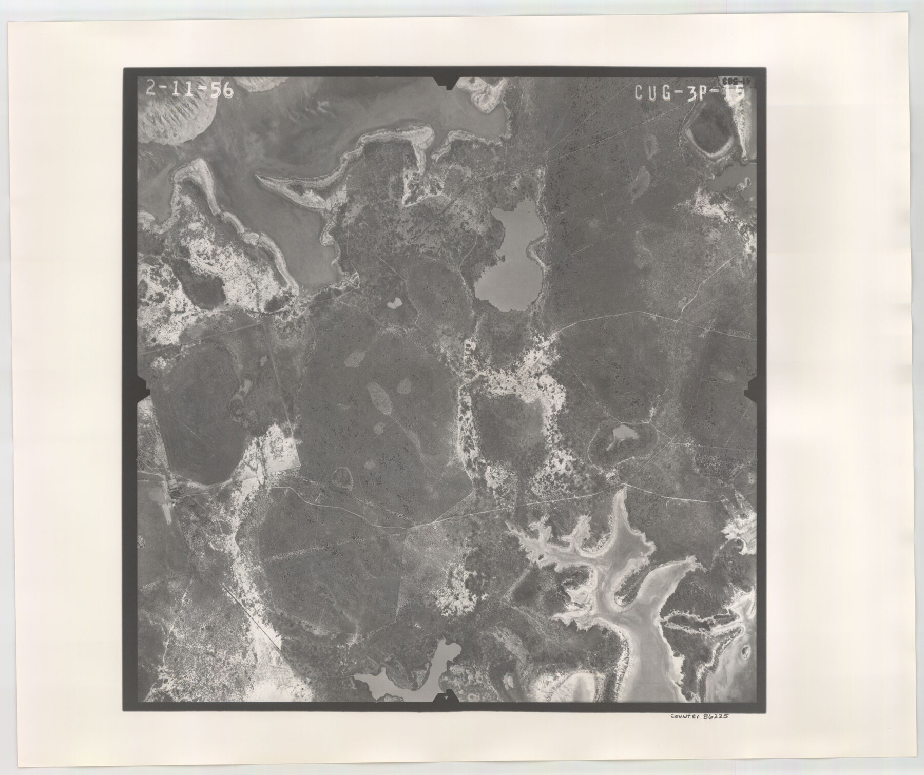
Flight Mission No. CUG-3P, Frame 15, Kleberg County
CUG-3P-15
-
Map/Doc
86225
-
Collection
General Map Collection
-
Object Dates
1956/2/11 (Creation Date)
-
People and Organizations
U. S. Department of Agriculture (Publisher)
-
Counties
Kleberg
-
Subjects
Aerial Photograph
-
Height x Width
18.8 x 22.4 inches
47.8 x 56.9 cm
-
Comments
Flown by V. L. Beavers and Associates of San Antonio, Texas.
Part of: General Map Collection
Dallam County Sketch File 13

Print $20.00
- Digital $50.00
Dallam County Sketch File 13
Size 22.2 x 20.3 inches
Map/Doc 11280
Blanco County Rolled Sketch 14

Print $20.00
- Digital $50.00
Blanco County Rolled Sketch 14
Size 26.0 x 19.7 inches
Map/Doc 5150
Sutton County Working Sketch 27

Print $20.00
- Digital $50.00
Sutton County Working Sketch 27
1891
Size 23.2 x 18.6 inches
Map/Doc 62370
Gaines County Working Sketch 6

Print $20.00
- Digital $50.00
Gaines County Working Sketch 6
1940
Size 25.0 x 40.8 inches
Map/Doc 69306

Gregg County Working Sketch 24

Print $20.00
- Digital $50.00
Gregg County Working Sketch 24
1985
Size 26.6 x 16.3 inches
Map/Doc 63291
McLennan County Sketch File 10

Print $6.00
- Digital $50.00
McLennan County Sketch File 10
1861
Size 10.3 x 15.2 inches
Map/Doc 31260
Crane County Working Sketch 11

Print $20.00
- Digital $50.00
Crane County Working Sketch 11
1941
Size 18.8 x 18.4 inches
Map/Doc 68288
Flight Mission No. BRE-1P, Frame 49, Nueces County

Print $20.00
- Digital $50.00
Flight Mission No. BRE-1P, Frame 49, Nueces County
1956
Size 18.4 x 22.2 inches
Map/Doc 86638
Tom Green County Sketch File 13

Print $4.00
- Digital $50.00
Tom Green County Sketch File 13
Size 6.3 x 8.4 inches
Map/Doc 38170
Webb County Rolled Sketch 68

Print $43.00
- Digital $50.00
Webb County Rolled Sketch 68
1910
Size 9.6 x 15.1 inches
Map/Doc 49485
Liberty County Working Sketch 19

Print $20.00
- Digital $50.00
Liberty County Working Sketch 19
1940
Size 29.2 x 41.3 inches
Map/Doc 70478
You may also like
Andrews County Rolled Sketch 8

Print $40.00
- Digital $50.00
Andrews County Rolled Sketch 8
1928
Size 31.4 x 54.0 inches
Map/Doc 8388
Hunt County Boundary File 2b

Print $2.00
- Digital $50.00
Hunt County Boundary File 2b
Size 12.8 x 7.9 inches
Map/Doc 55207
Hays County Sketch File 13 and 14

Print $8.00
- Digital $50.00
Hays County Sketch File 13 and 14
1868
Size 12.4 x 8.0 inches
Map/Doc 26220
Baylor County Rolled Sketch BHK

Print $20.00
- Digital $50.00
Baylor County Rolled Sketch BHK
1892
Size 18.8 x 43.5 inches
Map/Doc 5130
[Travis Station Map - Tracks and Structures - Lands. San Antonio & Aransas Pass Railway Co.]
![62564, [Travis Station Map - Tracks and Structures - Lands. San Antonio & Aransas Pass Railway Co.], General Map Collection](https://historictexasmaps.com/wmedia_w700/maps/62564.tif.jpg)
Print $4.00
- Digital $50.00
[Travis Station Map - Tracks and Structures - Lands. San Antonio & Aransas Pass Railway Co.]
1919
Size 11.7 x 18.7 inches
Map/Doc 62564
Zapata County Sketch File 4a

Print $4.00
- Digital $50.00
Zapata County Sketch File 4a
1891
Size 14.2 x 8.8 inches
Map/Doc 40908
Garza County Sketch File 22

Print $40.00
- Digital $50.00
Garza County Sketch File 22
Size 51.9 x 24.1 inches
Map/Doc 10464
Ulyss Dalmont Ranch situated in Gaines Co., Texas, 21316 Acres

Print $20.00
- Digital $50.00
Ulyss Dalmont Ranch situated in Gaines Co., Texas, 21316 Acres
Size 17.6 x 21.8 inches
Map/Doc 90915
Map of Sabine County

Print $20.00
- Digital $50.00
Map of Sabine County
1896
Size 26.6 x 19.3 inches
Map/Doc 4010
Cherokee County Working Sketch 7

Print $20.00
- Digital $50.00
Cherokee County Working Sketch 7
1954
Size 22.2 x 22.7 inches
Map/Doc 67962

Flight Mission No. BRE-2P, Frame 53, Nueces County

Print $20.00
- Digital $50.00
Flight Mission No. BRE-2P, Frame 53, Nueces County
1956
Size 18.4 x 22.2 inches
Map/Doc 86755