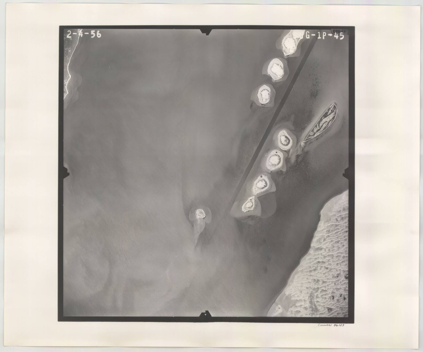
Flight Mission No. CUG-1P, Frame 45, Kleberg County
CUG-1P-45
-
Map/Doc
86123
-
Collection
General Map Collection
-
Object Dates
1956/2/4 (Creation Date)
-
People and Organizations
U. S. Department of Agriculture (Publisher)
-
Counties
Kleberg
-
Subjects
Aerial Photograph
-
Height x Width
18.5 x 22.2 inches
47.0 x 56.4 cm
-
Comments
Flown by V. L. Beavers and Associates of San Antonio, Texas.
Part of: General Map Collection
Val Verde County Sketch File Z21

Print $20.00
- Digital $50.00
Val Verde County Sketch File Z21
Size 18.3 x 17.3 inches
Map/Doc 12560
Surveys made on La Parita, March 1847

Print $2.00
- Digital $50.00
Surveys made on La Parita, March 1847
1847
Size 10.1 x 7.5 inches
Map/Doc 222
Webb County Working Sketch 79

Print $20.00
- Digital $50.00
Webb County Working Sketch 79
1977
Size 31.0 x 28.3 inches
Map/Doc 72446
Cottle County Working Sketch 19

Print $20.00
- Digital $50.00
Cottle County Working Sketch 19
1978
Size 33.2 x 29.3 inches
Map/Doc 68329
Controlled Mosaic by Jack Amman Photogrammetric Engineers, Inc - Sheet 28

Print $20.00
- Digital $50.00
Controlled Mosaic by Jack Amman Photogrammetric Engineers, Inc - Sheet 28
1954
Size 20.0 x 24.0 inches
Map/Doc 83479
Val Verde County Working Sketch 69

Print $20.00
- Digital $50.00
Val Verde County Working Sketch 69
1965
Size 35.6 x 37.3 inches
Map/Doc 72204
Hardin County Sketch File A

Print $20.00
- Digital $50.00
Hardin County Sketch File A
Size 19.3 x 33.4 inches
Map/Doc 11644
Webb County Working Sketch 89

Print $20.00
- Digital $50.00
Webb County Working Sketch 89
1982
Size 44.6 x 43.0 inches
Map/Doc 72456
Map of Texas Gulf Coast and Texas Continental Shelf showing Natural Gas Pipe Lines

Print $40.00
- Digital $50.00
Map of Texas Gulf Coast and Texas Continental Shelf showing Natural Gas Pipe Lines
1966
Size 39.6 x 57.0 inches
Map/Doc 75902
Montgomery County Working Sketch 31

Print $20.00
- Digital $50.00
Montgomery County Working Sketch 31
Size 24.7 x 18.7 inches
Map/Doc 71138
Nolan County Sketch File 1b

Print $20.00
- Digital $50.00
Nolan County Sketch File 1b
1875
Size 37.6 x 46.7 inches
Map/Doc 10555
Cochran County

Print $20.00
- Digital $50.00
Cochran County
1899
Size 40.9 x 32.6 inches
Map/Doc 4744
You may also like
Flight Mission No. DQN-7K, Frame 93, Calhoun County

Print $20.00
- Digital $50.00
Flight Mission No. DQN-7K, Frame 93, Calhoun County
1953
Size 18.4 x 22.2 inches
Map/Doc 84484
[Cotton Belt, St. Louis Southwestern Railway of Texas, Alignment through Smith County]
![64376, [Cotton Belt, St. Louis Southwestern Railway of Texas, Alignment through Smith County], General Map Collection](https://historictexasmaps.com/wmedia_w700/maps/64376-1.tif.jpg)
Print $20.00
- Digital $50.00
[Cotton Belt, St. Louis Southwestern Railway of Texas, Alignment through Smith County]
1903
Size 22.0 x 29.3 inches
Map/Doc 64376

Cameron County Rolled Sketch 27

Print $20.00
- Digital $50.00
Cameron County Rolled Sketch 27
Size 19.0 x 39.5 inches
Map/Doc 5392
Lands of the Eastern Mediterranean

Lands of the Eastern Mediterranean
1959
Size 25.5 x 19.5 inches
Map/Doc 92383
Comanche County Working Sketch 13

Print $20.00
- Digital $50.00
Comanche County Working Sketch 13
1957
Size 18.4 x 15.0 inches
Map/Doc 68147
Menard County Sketch File 4

Print $20.00
- Digital $50.00
Menard County Sketch File 4
Size 18.3 x 25.5 inches
Map/Doc 12072
[Surveys in the Liberty District]
![273, [Surveys in the Liberty District], General Map Collection](https://historictexasmaps.com/wmedia_w700/maps/273.tif.jpg)
Print $2.00
- Digital $50.00
[Surveys in the Liberty District]
1841
Size 7.0 x 10.7 inches
Map/Doc 273
[Texas State Capitol Land Leagues and Surrounding Blocks]
![91055, [Texas State Capitol Land Leagues and Surrounding Blocks], Twichell Survey Records](https://historictexasmaps.com/wmedia_w700/maps/91055-1.tif.jpg)
Print $20.00
- Digital $50.00
[Texas State Capitol Land Leagues and Surrounding Blocks]
Size 30.2 x 33.6 inches
Map/Doc 91055
Bosque County Working Sketch 26

Print $20.00
- Digital $50.00
Bosque County Working Sketch 26
1995
Size 46.0 x 35.5 inches
Map/Doc 67460
General Highway Map, Coryell County, Texas

Print $20.00
General Highway Map, Coryell County, Texas
1940
Size 18.4 x 25.4 inches
Map/Doc 79059
Fort Bend County Sketch File 18a

Print $42.00
- Digital $50.00
Fort Bend County Sketch File 18a
1890
Size 14.7 x 8.7 inches
Map/Doc 22940