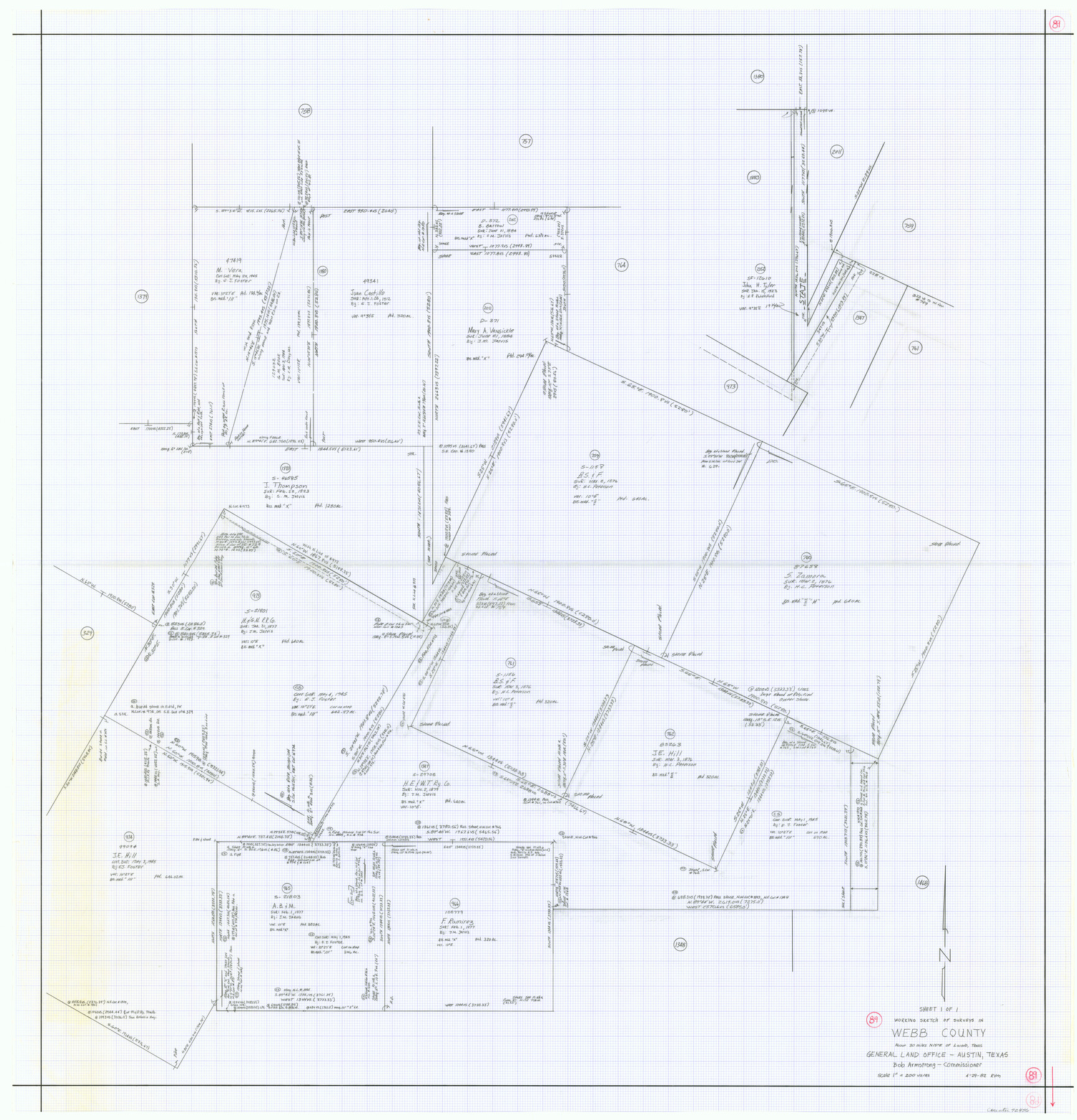
Webb County Working Sketch 89
-
Map/Doc
72456
-
Collection
General Map Collection
-
Object Dates
4/29/1982 (Creation Date)
-
People and Organizations
Rosendo V. Molina (Draftsman)
-
Counties
Webb
-
Subjects
Surveying Working Sketch
-
Height x Width
44.6 x 43.0 inches
113.3 x 109.2 cm
-
Scale
1" = 200 varas
Part of: General Map Collection
Freestone County Boundary File 30b

Print $20.00
- Digital $50.00
Freestone County Boundary File 30b
Size 43.9 x 12.4 inches
Map/Doc 53598
Flight Mission No. BRA-8M, Frame 84, Jefferson County

Print $20.00
- Digital $50.00
Flight Mission No. BRA-8M, Frame 84, Jefferson County
1953
Size 18.6 x 22.4 inches
Map/Doc 85604
Brewster County Working Sketch 60

Print $20.00
- Digital $50.00
Brewster County Working Sketch 60
1955
Size 22.3 x 18.2 inches
Map/Doc 67661
McMullen County Sketch File 34

Print $25.00
- Digital $50.00
McMullen County Sketch File 34
Size 10.5 x 9.2 inches
Map/Doc 31400
Hood County Boundary File 40

Print $44.00
- Digital $50.00
Hood County Boundary File 40
Size 14.4 x 8.8 inches
Map/Doc 55019
Winkler County Rolled Sketch 5

Print $40.00
- Digital $50.00
Winkler County Rolled Sketch 5
1927
Size 58.0 x 38.4 inches
Map/Doc 10148
Right-of-Way and Track Map, Texas State Railroad operated by the T. and N. O. R.R. Co.

Print $40.00
- Digital $50.00
Right-of-Way and Track Map, Texas State Railroad operated by the T. and N. O. R.R. Co.
1917
Size 24.8 x 56.3 inches
Map/Doc 64173
El Paso County Rolled Sketch W

Print $20.00
- Digital $50.00
El Paso County Rolled Sketch W
1916
Size 22.8 x 40.1 inches
Map/Doc 5859
1883 Map of the Texas & Pacific R-Y Reserve

Print $40.00
- Digital $50.00
1883 Map of the Texas & Pacific R-Y Reserve
1883
Size 42.2 x 86.4 inches
Map/Doc 2236
Wilbarger County Rolled Sketch 7

Print $20.00
- Digital $50.00
Wilbarger County Rolled Sketch 7
Size 37.0 x 37.5 inches
Map/Doc 10144
[Sketch for Mineral Application 26501 - Sabine River, T. A. Oldhausen]
![2842, [Sketch for Mineral Application 26501 - Sabine River, T. A. Oldhausen], General Map Collection](https://historictexasmaps.com/wmedia_w700/maps/2842.tif.jpg)
Print $20.00
- Digital $50.00
[Sketch for Mineral Application 26501 - Sabine River, T. A. Oldhausen]
1931
Size 24.0 x 36.9 inches
Map/Doc 2842
Montgomery County Working Sketch 3

Print $20.00
- Digital $50.00
Montgomery County Working Sketch 3
1918
Size 16.5 x 14.1 inches
Map/Doc 71109
You may also like
Travis County Working Sketch 2

Print $20.00
- Digital $50.00
Travis County Working Sketch 2
1906
Size 30.8 x 25.9 inches
Map/Doc 69386
Flight Mission No. BRA-7M, Frame 42, Jefferson County

Print $20.00
- Digital $50.00
Flight Mission No. BRA-7M, Frame 42, Jefferson County
1953
Size 18.6 x 22.3 inches
Map/Doc 85493
Van Zandt County Rolled Sketch 10

Print $20.00
- Digital $50.00
Van Zandt County Rolled Sketch 10
1989
Size 33.7 x 40.6 inches
Map/Doc 10092
Sterling County Boundary File 1

Print $56.00
- Digital $50.00
Sterling County Boundary File 1
Size 9.0 x 8.7 inches
Map/Doc 58919
General Highway Map, Lamar County, Texas

Print $20.00
General Highway Map, Lamar County, Texas
1940
Size 24.8 x 18.5 inches
Map/Doc 79167
Railroad and County Map of Texas

Print $20.00
Railroad and County Map of Texas
1908
Size 44.5 x 45.8 inches
Map/Doc 76225
Travis County Working Sketch 55

Print $20.00
- Digital $50.00
Travis County Working Sketch 55
1988
Size 23.0 x 37.0 inches
Map/Doc 69439
Cherokee County Sketch File 2

Print $6.00
- Digital $50.00
Cherokee County Sketch File 2
1857
Size 8.2 x 7.9 inches
Map/Doc 18112
Index sheet to accompany map of survey for connecting the inland waters along margin of the Gulf of Mexico from Donaldsonville in Louisiana to the Rio Grande River in Texas

Print $20.00
- Digital $50.00
Index sheet to accompany map of survey for connecting the inland waters along margin of the Gulf of Mexico from Donaldsonville in Louisiana to the Rio Grande River in Texas
1873
Size 18.2 x 28.1 inches
Map/Doc 72692
Map of Cameron, Hidalgo and half of Starr County of Texas

Print $20.00
- Digital $50.00
Map of Cameron, Hidalgo and half of Starr County of Texas
1900
Size 42.4 x 30.3 inches
Map/Doc 3150
Thornton, Texas

Print $20.00
- Digital $50.00
Thornton, Texas
1922
Size 30.0 x 32.6 inches
Map/Doc 92143
Texas Aerial Photo-Illustrated Map

Texas Aerial Photo-Illustrated Map
Size 21.3 x 28.3 inches
Map/Doc 94398