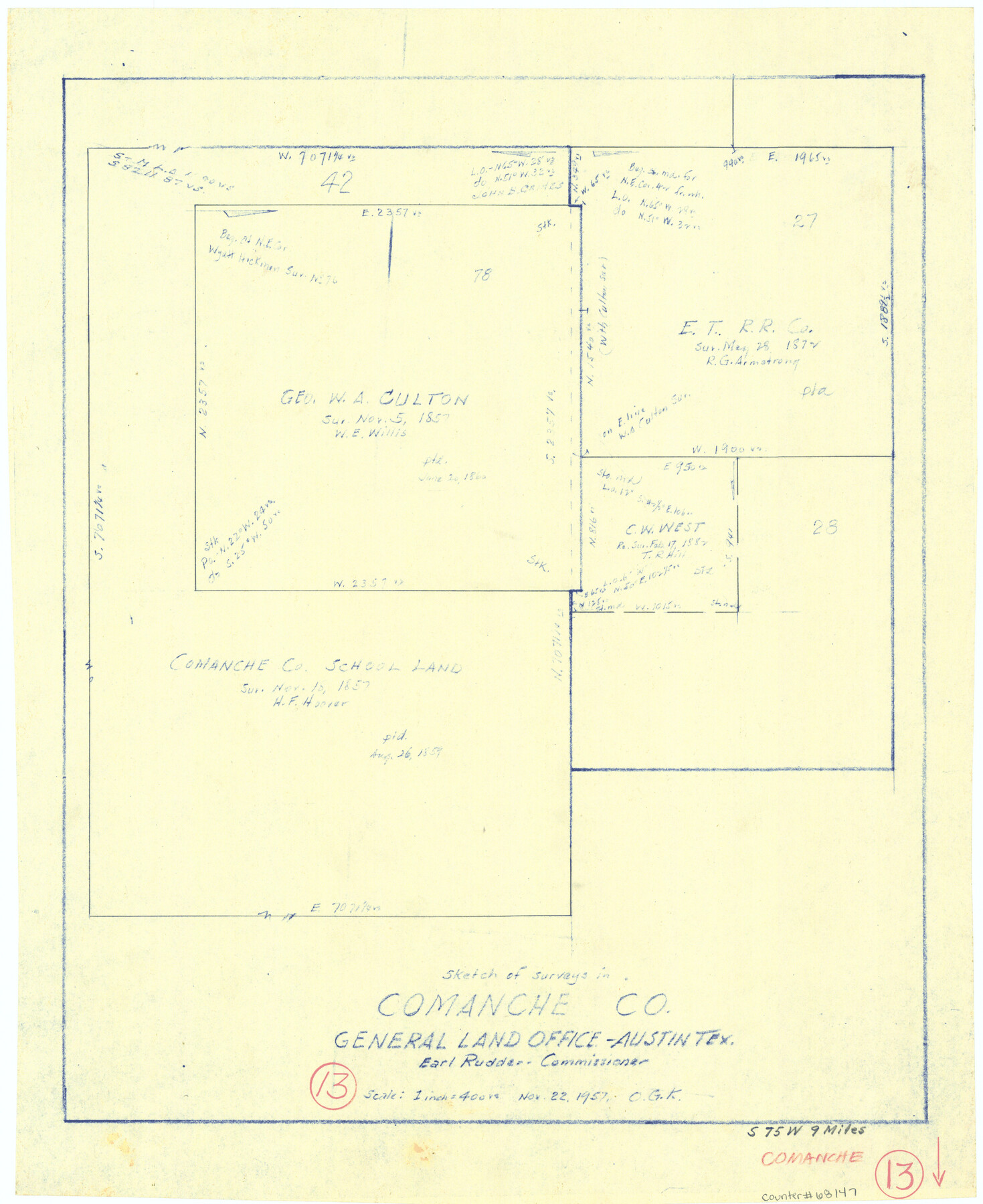
Comanche County Working Sketch 13
-
Map/Doc
68147
-
Collection
General Map Collection
-
Object Dates
11/22/1957 (Creation Date)
-
People and Organizations
Otto G. Kurio (Draftsman)
-
Counties
Comanche
-
Subjects
Surveying Working Sketch
-
Height x Width
18.4 x 15.0 inches
46.7 x 38.1 cm
-
Scale
1" = 400 varas
Part of: General Map Collection
Flight Mission No. CGI-4N, Frame 162, Cameron County

Print $20.00
- Digital $50.00
Flight Mission No. CGI-4N, Frame 162, Cameron County
1955
Size 18.7 x 22.5 inches
Map/Doc 84670
Flight Mission No. BQR-12K, Frame 45, Brazoria County

Print $20.00
- Digital $50.00
Flight Mission No. BQR-12K, Frame 45, Brazoria County
1952
Size 18.8 x 22.5 inches
Map/Doc 84060
Polk County Working Sketch 15

Print $20.00
- Digital $50.00
Polk County Working Sketch 15
1947
Size 27.4 x 32.4 inches
Map/Doc 71630
Randall County Sketch File 3

Print $20.00
- Digital $50.00
Randall County Sketch File 3
1930
Size 23.8 x 16.3 inches
Map/Doc 12206
Bexar County Rolled Sketch 4A

Print $20.00
- Digital $50.00
Bexar County Rolled Sketch 4A
1982
Size 24.4 x 36.7 inches
Map/Doc 5138
Panola County Sketch File 2

Print $4.00
- Digital $50.00
Panola County Sketch File 2
1851
Size 10.8 x 8.2 inches
Map/Doc 33447
Sutton County Working Sketch 49

Print $20.00
- Digital $50.00
Sutton County Working Sketch 49
1955
Size 43.3 x 19.5 inches
Map/Doc 62392
Crane County Working Sketch 26

Print $20.00
- Digital $50.00
Crane County Working Sketch 26
1971
Size 32.4 x 33.0 inches
Map/Doc 68303
Real County Working Sketch 23

Print $20.00
- Digital $50.00
Real County Working Sketch 23
1946
Size 20.4 x 23.4 inches
Map/Doc 71915
Upton County Rolled Sketch 59A

Print $20.00
- Digital $50.00
Upton County Rolled Sketch 59A
Size 35.7 x 45.9 inches
Map/Doc 76423
Sherman County Sketch File C

Print $54.00
- Digital $50.00
Sherman County Sketch File C
1918
Size 11.4 x 8.8 inches
Map/Doc 36694
Marion County Working Sketch 8

Print $20.00
- Digital $50.00
Marion County Working Sketch 8
1935
Size 31.9 x 36.6 inches
Map/Doc 70783
You may also like
San Patricio County Rolled Sketch 46C

Print $3.00
- Digital $50.00
San Patricio County Rolled Sketch 46C
1983
Size 11.0 x 17.5 inches
Map/Doc 8374
[Blocks M23, XO2, Z, and 47]
![91242, [Blocks M23, XO2, Z, and 47], Twichell Survey Records](https://historictexasmaps.com/wmedia_w700/maps/91242-1.tif.jpg)
Print $20.00
- Digital $50.00
[Blocks M23, XO2, Z, and 47]
Size 19.0 x 19.5 inches
Map/Doc 91242
Bell County Sketch File 34

Print $40.00
- Digital $50.00
Bell County Sketch File 34
Size 15.4 x 13.4 inches
Map/Doc 14455
Harrison County Working Sketch 2

Print $20.00
- Digital $50.00
Harrison County Working Sketch 2
1940
Size 40.3 x 36.0 inches
Map/Doc 66022
Catalogue of the Spanish Collection of the Texas General Land Office

Digital $15.00
Catalogue of the Spanish Collection of the Texas General Land Office
2003
Size 10.8 x 8.5 inches
Map/Doc 83387
Brewster County Rolled Sketch 126

Print $225.00
- Digital $50.00
Brewster County Rolled Sketch 126
1908
Map/Doc 43230
[Block XO3, Parts of Blocks Y2 and 1, and vicinity]
![91182, [Block XO3, Parts of Blocks Y2 and 1, and vicinity], Twichell Survey Records](https://historictexasmaps.com/wmedia_w700/maps/91182-1.tif.jpg)
Print $20.00
- Digital $50.00
[Block XO3, Parts of Blocks Y2 and 1, and vicinity]
Size 13.1 x 13.9 inches
Map/Doc 91182
Lynn County Rolled Sketch 17

Print $20.00
- Digital $50.00
Lynn County Rolled Sketch 17
1994
Size 45.2 x 35.8 inches
Map/Doc 9475
[Littlefield Subdivision Blocks 657-687]
![91009, [Littlefield Subdivision Blocks 657-687], Twichell Survey Records](https://historictexasmaps.com/wmedia_w700/maps/91009-1.tif.jpg)
Print $20.00
- Digital $50.00
[Littlefield Subdivision Blocks 657-687]
Size 31.2 x 20.5 inches
Map/Doc 91009
Yoakum County Rolled Sketch 4

Print $20.00
- Digital $50.00
Yoakum County Rolled Sketch 4
Size 19.1 x 24.9 inches
Map/Doc 8289
Hardeman County Sketch File A

Print $14.00
- Digital $50.00
Hardeman County Sketch File A
1884
Size 12.7 x 8.1 inches
Map/Doc 25039
Flight Mission No. DAG-16K, Frame 74, Matagorda County

Print $20.00
- Digital $50.00
Flight Mission No. DAG-16K, Frame 74, Matagorda County
1952
Size 18.6 x 22.3 inches
Map/Doc 86320