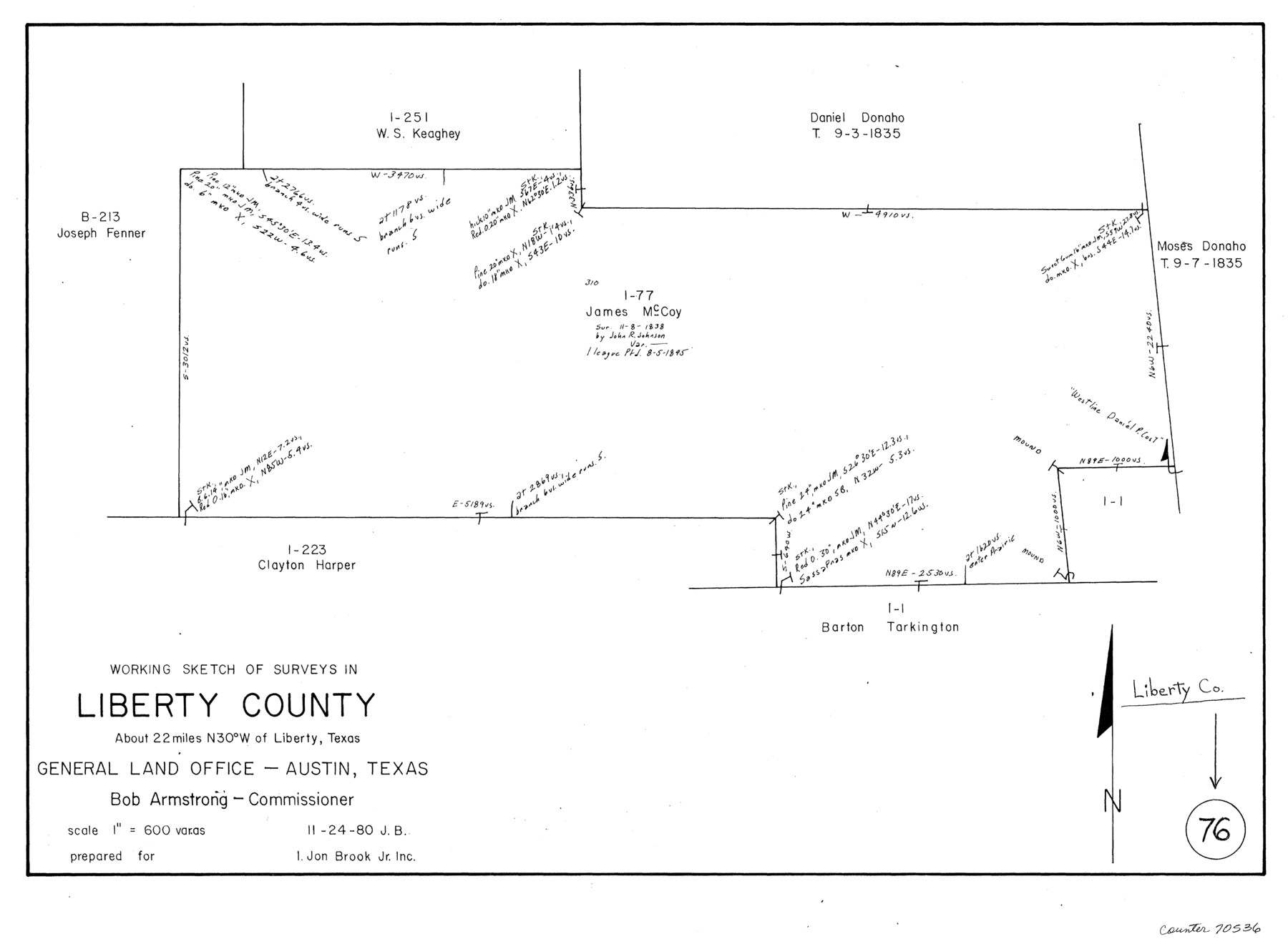
Liberty County Working Sketch 76
-
Map/Doc
70536
-
Collection
General Map Collection
-
Object Dates
11/24/1980 (Creation Date)
-
People and Organizations
Jana Brod ()
-
Counties
Liberty
-
Subjects
Surveying Working Sketch
-
Height x Width
13.7 x 18.5 inches
34.8 x 47.0 cm
-
Scale
1" = 600 varas
Part of: General Map Collection
Travis County Working Sketch 8

Print $20.00
- Digital $50.00
Travis County Working Sketch 8
1917
Size 18.8 x 18.8 inches
Map/Doc 69392
Henderson County Working Sketch 37

Print $20.00
- Digital $50.00
Henderson County Working Sketch 37
1982
Size 29.4 x 22.0 inches
Map/Doc 66170
Navarro County Sketch File 10

Print $4.00
- Digital $50.00
Navarro County Sketch File 10
1860
Size 12.6 x 8.2 inches
Map/Doc 32318
Angelina County Working Sketch 45

Print $20.00
- Digital $50.00
Angelina County Working Sketch 45
1976
Size 25.8 x 29.7 inches
Map/Doc 67128
Hopkins County Sketch File 10a

Print $4.00
- Digital $50.00
Hopkins County Sketch File 10a
1856
Size 12.2 x 7.8 inches
Map/Doc 26702
Taylor County Sketch File 12

Print $4.00
- Digital $50.00
Taylor County Sketch File 12
Size 8.6 x 12.8 inches
Map/Doc 37796
Upshur County Working Sketch 16

Print $20.00
- Digital $50.00
Upshur County Working Sketch 16
1997
Size 43.7 x 36.0 inches
Map/Doc 78229
Hardin County Sketch File 3

Print $4.00
- Digital $50.00
Hardin County Sketch File 3
Size 7.7 x 4.6 inches
Map/Doc 25086
Travis County Working Sketch 60

Print $20.00
- Digital $50.00
Travis County Working Sketch 60
1992
Size 21.8 x 20.9 inches
Map/Doc 69444
Flight Mission No. BQR-16K, Frame 34, Brazoria County

Print $20.00
- Digital $50.00
Flight Mission No. BQR-16K, Frame 34, Brazoria County
1952
Size 18.7 x 22.4 inches
Map/Doc 84101
Gillespie County Sketch File 12

Print $4.00
- Digital $50.00
Gillespie County Sketch File 12
1877
Size 9.6 x 6.3 inches
Map/Doc 24151
Mustang Island, Nueces County, Texas

Print $20.00
- Digital $50.00
Mustang Island, Nueces County, Texas
1978
Size 40.7 x 36.2 inches
Map/Doc 2500
You may also like
Map of Bexar County

Print $20.00
- Digital $50.00
Map of Bexar County
1896
Size 45.2 x 40.2 inches
Map/Doc 4885
Wichita County Working Sketch 12a

Print $20.00
- Digital $50.00
Wichita County Working Sketch 12a
1920
Size 20.2 x 14.1 inches
Map/Doc 72521
Index to Titles, Field Notes, and Plats in the Spanish Archives

Index to Titles, Field Notes, and Plats in the Spanish Archives
1942
Size 17.5 x 10.1 inches
Map/Doc 94524
[Sketch showing Blocks B-11, G and M-2 and 3, L, and 47, Sections 77-102]
![91734, [Sketch showing Blocks B-11, G and M-2 and 3, L, and 47, Sections 77-102], Twichell Survey Records](https://historictexasmaps.com/wmedia_w700/maps/91734-1.tif.jpg)
Print $20.00
- Digital $50.00
[Sketch showing Blocks B-11, G and M-2 and 3, L, and 47, Sections 77-102]
Size 25.6 x 18.9 inches
Map/Doc 91734
United States Atlantic and Gulf Coasts Including Puerto Rico and the Virgin Islands

Print $40.00
- Digital $50.00
United States Atlantic and Gulf Coasts Including Puerto Rico and the Virgin Islands
1973
Size 21.9 x 60.6 inches
Map/Doc 76125
Rains County Sketch File 7

Print $4.00
- Digital $50.00
Rains County Sketch File 7
Size 6.2 x 7.9 inches
Map/Doc 34956
Jackson County Sketch File 1

Print $4.00
- Digital $50.00
Jackson County Sketch File 1
1859
Size 9.9 x 7.6 inches
Map/Doc 27617
[Missouri, Kansas & Texas Line Map through Bastrop County]
![64029, [Missouri, Kansas & Texas Line Map through Bastrop County], General Map Collection](https://historictexasmaps.com/wmedia_w700/maps/64029.tif.jpg)
Print $40.00
- Digital $50.00
[Missouri, Kansas & Texas Line Map through Bastrop County]
1916
Size 25.8 x 122.6 inches
Map/Doc 64029
Duval County Sketch File 77

Print $20.00
- Digital $50.00
Duval County Sketch File 77
1967
Size 20.4 x 15.5 inches
Map/Doc 11411
Webb County Rolled Sketch 38

Print $20.00
- Digital $50.00
Webb County Rolled Sketch 38
1940
Size 22.2 x 16.0 inches
Map/Doc 8193
El Paso County Sketch File 16

Print $20.00
- Digital $50.00
El Paso County Sketch File 16
1885
Size 31.0 x 36.0 inches
Map/Doc 10446
Map of Texas with population and location of principal towns and cities according to latest reliable statistics

Print $20.00
- Digital $50.00
Map of Texas with population and location of principal towns and cities according to latest reliable statistics
1921
Size 19.0 x 22.2 inches
Map/Doc 94066