Chambers County NRC Article 33.136 Sketch 6
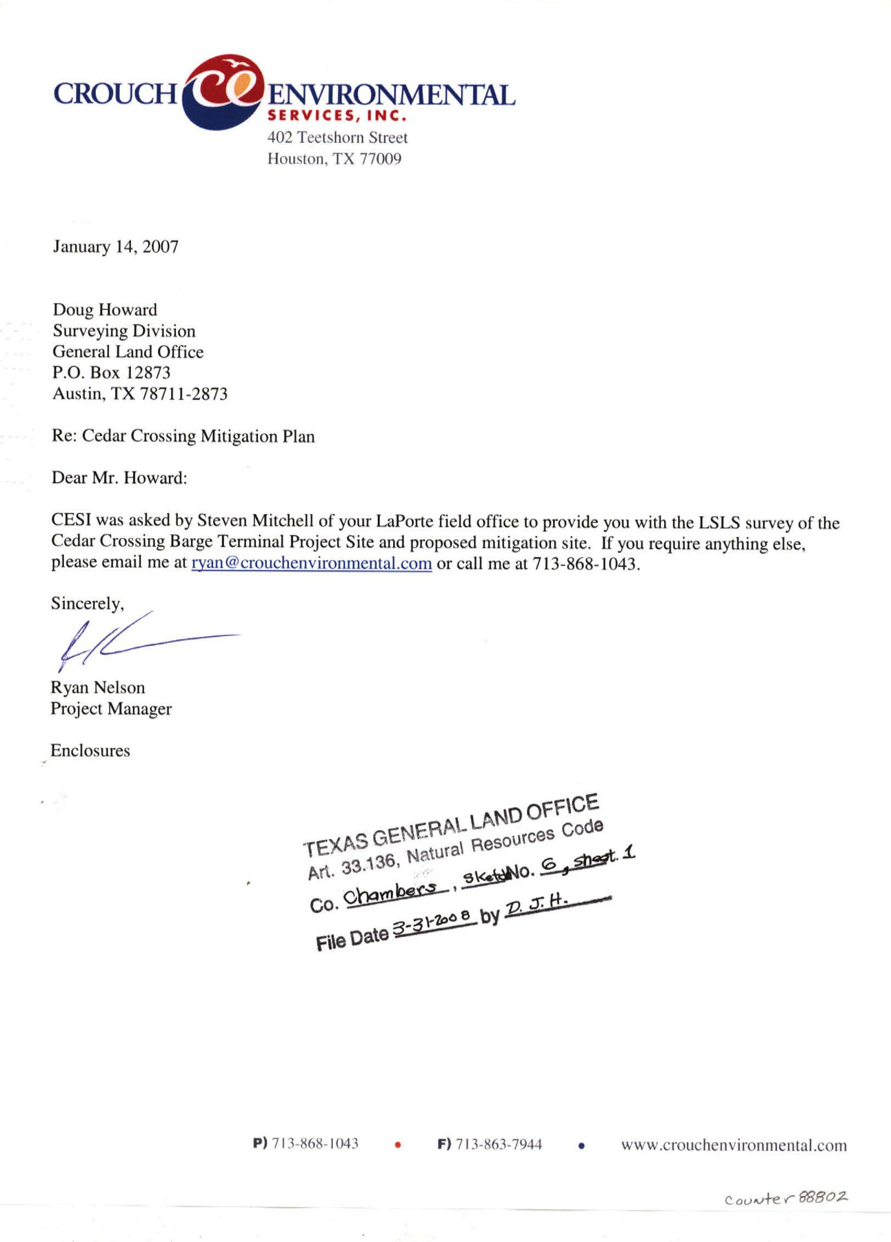
Cedar Crossing Mitigation Plan Survey of Mean Higher High Water Along Cedar Bayou and Galveston Bay Adjacent to the John Jiams Survey, Abstract Number 15
-
Map/Doc
88802
-
Collection
General Map Collection
-
Object Dates
2007/1/14 (Creation Date)
2008/3/31 (File Date)
-
People and Organizations
Crouch Environmental Services, Inc. (Publisher)
Crouch Environmental Services, Inc. (Printer)
Ryan Nelson (Author)
William E. Merten (Surveyor/Engineer)
-
Counties
Chambers
-
Subjects
Surveying CBS
-
Height x Width
11.0 x 8.5 inches
27.9 x 21.6 cm
-
Medium
multi-page, multi-format
-
Comments
Survey located about 15 miles South 70 degrees West of Rockport, Texas.
Part of: General Map Collection
Sabine River, West Extension Toll Bridge Sheet

Print $4.00
- Digital $50.00
Sabine River, West Extension Toll Bridge Sheet
1933
Size 15.2 x 19.3 inches
Map/Doc 65142
Leon County Working Sketch 50

Print $20.00
- Digital $50.00
Leon County Working Sketch 50
1981
Size 28.9 x 24.2 inches
Map/Doc 70449
Rains County Sketch File 6

Print $4.00
- Digital $50.00
Rains County Sketch File 6
Size 8.0 x 9.1 inches
Map/Doc 34954
Bee County Sketch File 26

Print $6.00
- Digital $50.00
Bee County Sketch File 26
1883
Size 14.5 x 9.0 inches
Map/Doc 14328
Frio County Working Sketch 15

Print $20.00
- Digital $50.00
Frio County Working Sketch 15
1961
Size 31.2 x 43.5 inches
Map/Doc 69289

Webb County Working Sketch 62

Print $20.00
- Digital $50.00
Webb County Working Sketch 62
1962
Size 24.8 x 29.9 inches
Map/Doc 72428
Eastland County Rolled Sketch 26

Print $20.00
- Digital $50.00
Eastland County Rolled Sketch 26
1918
Size 23.2 x 17.9 inches
Map/Doc 5777
Matagorda County Rolled Sketch 23

Print $20.00
- Digital $50.00
Matagorda County Rolled Sketch 23
1942
Size 25.0 x 23.8 inches
Map/Doc 6690
Travis County Rolled Sketch 35

Print $20.00
- Digital $50.00
Travis County Rolled Sketch 35
1949
Size 22.8 x 24.6 inches
Map/Doc 8036
Howard County Boundary File 2c

Print $44.00
- Digital $50.00
Howard County Boundary File 2c
Size 5.0 x 8.9 inches
Map/Doc 55126
San Saba County Rolled Sketch 2

Print $20.00
- Digital $50.00
San Saba County Rolled Sketch 2
Size 38.9 x 20.7 inches
Map/Doc 7743
You may also like
Edwards County Rolled Sketch 37

Print $20.00
- Digital $50.00
Edwards County Rolled Sketch 37
2018
Size 23.3 x 30.2 inches
Map/Doc 94459
Palo Pinto County Working Sketch 16

Print $20.00
- Digital $50.00
Palo Pinto County Working Sketch 16
1974
Size 35.5 x 42.4 inches
Map/Doc 71399
Trinity River, Bazzette Sheet

Print $4.00
- Digital $50.00
Trinity River, Bazzette Sheet
1925
Size 28.2 x 24.9 inches
Map/Doc 65218
Flight Mission No. DQN-2K, Frame 87, Calhoun County

Print $20.00
- Digital $50.00
Flight Mission No. DQN-2K, Frame 87, Calhoun County
1953
Size 18.9 x 22.6 inches
Map/Doc 84277
Map Showing Corrections of Capitol Leagues in Conflict in Oldham Co.

Print $40.00
- Digital $50.00
Map Showing Corrections of Capitol Leagues in Conflict in Oldham Co.
1886
Size 52.5 x 31.3 inches
Map/Doc 89800
El Paso County Boundary File 14

Print $8.00
- Digital $50.00
El Paso County Boundary File 14
Size 13.0 x 8.6 inches
Map/Doc 53179
Flight Mission No. CGI-4N, Frame 27, Cameron County

Print $20.00
- Digital $50.00
Flight Mission No. CGI-4N, Frame 27, Cameron County
1954
Size 18.6 x 22.5 inches
Map/Doc 84660
Crockett County Working Sketch 18

Print $20.00
- Digital $50.00
Crockett County Working Sketch 18
1919
Size 37.4 x 31.8 inches
Map/Doc 68351
Map Showing Location of Dallas & Greenville Railway through Hunt County, Texas

Print $2.00
- Digital $50.00
Map Showing Location of Dallas & Greenville Railway through Hunt County, Texas
Size 11.9 x 8.2 inches
Map/Doc 64486
North Sulphur River, Mt. Joy Sheet

Print $20.00
- Digital $50.00
North Sulphur River, Mt. Joy Sheet
1926
Size 18.4 x 21.6 inches
Map/Doc 78333
Val Verde County Working Sketch 41

Print $20.00
- Digital $50.00
Val Verde County Working Sketch 41
1943
Size 27.8 x 30.2 inches
Map/Doc 72176
Denton County Rolled Sketch 4

Print $20.00
- Digital $50.00
Denton County Rolled Sketch 4
1973
Size 22.7 x 39.3 inches
Map/Doc 5701