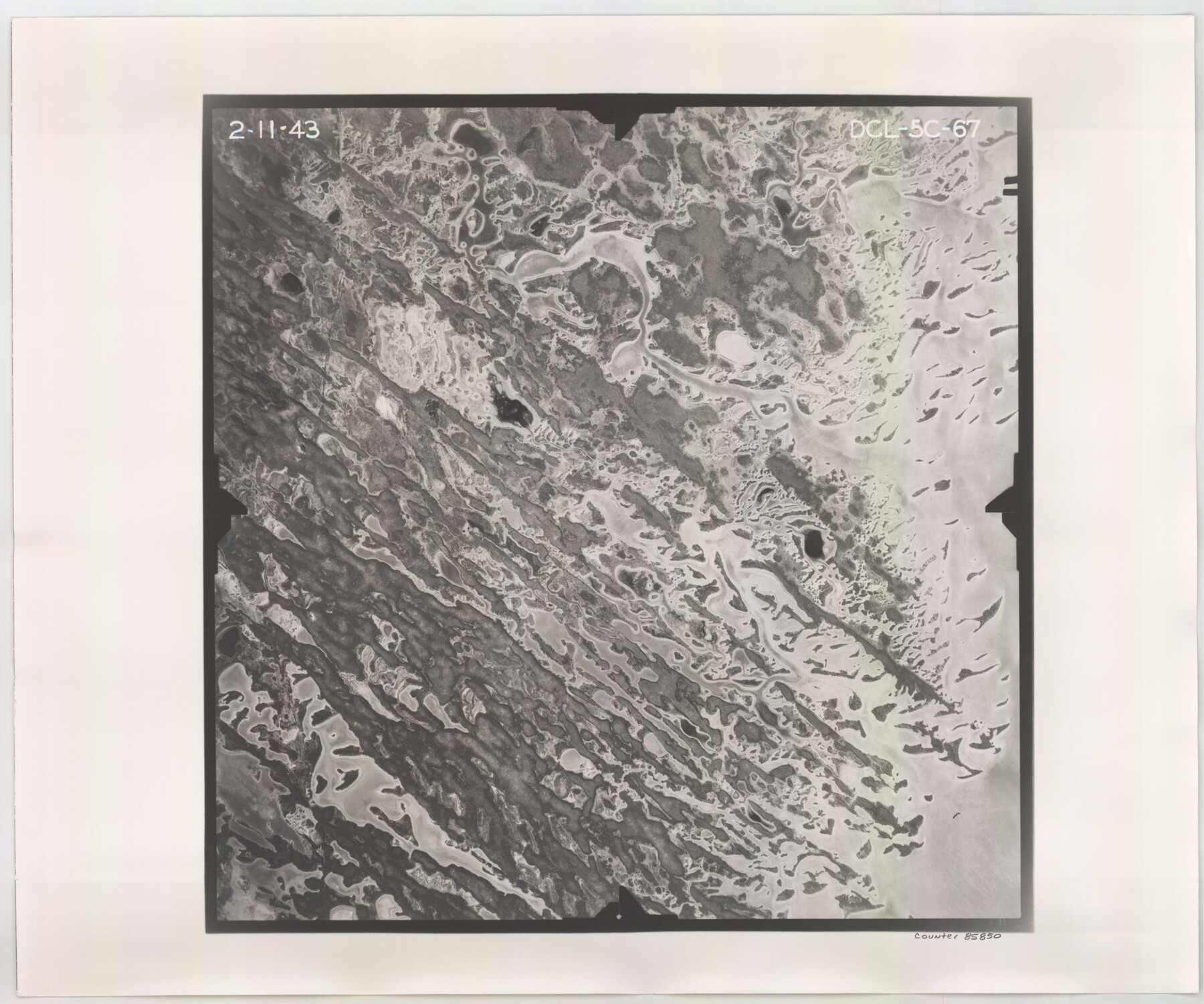
Flight Mission No. DCL-5C, Frame 67, Kenedy County
DCL-5C-67
-
Map/Doc
85850
-
Collection
General Map Collection
-
Object Dates
1943/2/11 (Creation Date)
-
People and Organizations
U. S. Department of Agriculture (Publisher)
-
Counties
Kenedy
-
Subjects
Aerial Photograph
-
Height x Width
18.5 x 22.2 inches
47.0 x 56.4 cm
-
Comments
Flown by Aerial Surveys of Pittsburgh, Inc. of Pittsburgh, Pennsylvania.
Part of: General Map Collection
Motley County Sketch File 9a (N)

Print $4.00
- Digital $50.00
Motley County Sketch File 9a (N)
1885
Size 14.2 x 8.6 inches
Map/Doc 32024
Kinney County Working Sketch 6

Print $20.00
- Digital $50.00
Kinney County Working Sketch 6
1908
Size 19.6 x 23.9 inches
Map/Doc 70188
[Edwards Co.]
![66811, [Edwards Co.], General Map Collection](https://historictexasmaps.com/wmedia_w700/maps/66811.tif.jpg)
Print $20.00
- Digital $50.00
[Edwards Co.]
1910
Size 38.8 x 36.2 inches
Map/Doc 66811
Flight Mission No. CRC-3R, Frame 40, Chambers County

Print $20.00
- Digital $50.00
Flight Mission No. CRC-3R, Frame 40, Chambers County
1956
Size 18.6 x 22.3 inches
Map/Doc 84813
El Paso County Sketch File 31

Print $185.00
- Digital $50.00
El Paso County Sketch File 31
1968
Size 8.9 x 17.7 inches
Map/Doc 22084
Map of Robertson County

Print $40.00
- Digital $50.00
Map of Robertson County
1840
Size 59.4 x 38.6 inches
Map/Doc 4655
West Half - Brown County

Print $40.00
- Digital $50.00
West Half - Brown County
1982
Size 142.2 x 37.3 inches
Map/Doc 97384
Flight Mission No. CUG-3P, Frame 79, Kleberg County

Print $20.00
- Digital $50.00
Flight Mission No. CUG-3P, Frame 79, Kleberg County
1956
Size 18.4 x 22.2 inches
Map/Doc 86254
Flight Mission No. DCL-6C, Frame 181, Kenedy County

Print $20.00
- Digital $50.00
Flight Mission No. DCL-6C, Frame 181, Kenedy County
1943
Size 18.5 x 22.2 inches
Map/Doc 85993
Nueces County Rolled Sketch 30

Print $40.00
- Digital $50.00
Nueces County Rolled Sketch 30
1952
Size 60.3 x 38.9 inches
Map/Doc 9598
Crane County Rolled Sketch REE

Print $40.00
- Digital $50.00
Crane County Rolled Sketch REE
1936
Size 50.6 x 34.1 inches
Map/Doc 8681
Gillespie County

Print $40.00
- Digital $50.00
Gillespie County
1887
Size 34.6 x 49.8 inches
Map/Doc 66836
You may also like
Maps of Gulf Intracoastal Waterway, Texas - Sabine River to the Rio Grande and connecting waterways including ship channels

Print $20.00
- Digital $50.00
Maps of Gulf Intracoastal Waterway, Texas - Sabine River to the Rio Grande and connecting waterways including ship channels
1966
Size 14.5 x 22.2 inches
Map/Doc 61915
Flight Mission No. CRK-8P, Frame 98, Refugio County

Print $20.00
- Digital $50.00
Flight Mission No. CRK-8P, Frame 98, Refugio County
1956
Size 18.2 x 22.0 inches
Map/Doc 86959
General Highway Map. Detail of Cities and Towns in Jefferson County, Texas [Beaumont-Port Arthur vicinity]
![79145, General Highway Map. Detail of Cities and Towns in Jefferson County, Texas [Beaumont-Port Arthur vicinity], Texas State Library and Archives](https://historictexasmaps.com/wmedia_w700/maps/79145.tif.jpg)
Print $20.00
General Highway Map. Detail of Cities and Towns in Jefferson County, Texas [Beaumont-Port Arthur vicinity]
1940
Size 24.8 x 18.3 inches
Map/Doc 79145
Fort Bend County Working Sketch 8

Print $20.00
- Digital $50.00
Fort Bend County Working Sketch 8
1922
Size 24.9 x 17.6 inches
Map/Doc 69214
Wilson County Boundary File 3

Print $26.00
- Digital $50.00
Wilson County Boundary File 3
Size 14.3 x 8.7 inches
Map/Doc 60083
[Surrounding McCrummens Second Addition]
![92839, [Surrounding McCrummens Second Addition], Twichell Survey Records](https://historictexasmaps.com/wmedia_w700/maps/92839-1.tif.jpg)
Print $20.00
- Digital $50.00
[Surrounding McCrummens Second Addition]
Size 31.2 x 33.1 inches
Map/Doc 92839
Rockwall County Sketch File 4

Print $9.00
Rockwall County Sketch File 4
1860
Size 7.7 x 12.1 inches
Map/Doc 35419
[Gulf Coast of Texas]
![72705, [Gulf Coast of Texas], General Map Collection](https://historictexasmaps.com/wmedia_w700/maps/72705.tif.jpg)
Print $20.00
- Digital $50.00
[Gulf Coast of Texas]
1881
Size 28.7 x 18.2 inches
Map/Doc 72705
Wharton County Working Sketch 19

Print $20.00
- Digital $50.00
Wharton County Working Sketch 19
1940
Size 21.4 x 23.0 inches
Map/Doc 72483
Baylor County, Texas

Print $20.00
- Digital $50.00
Baylor County, Texas
Size 21.7 x 18.9 inches
Map/Doc 525
Flight Mission No. DQN-7K, Frame 4, Calhoun County

Print $20.00
- Digital $50.00
Flight Mission No. DQN-7K, Frame 4, Calhoun County
1953
Size 18.9 x 22.1 inches
Map/Doc 84455
Carson County Sketch File 5

Print $28.00
- Digital $50.00
Carson County Sketch File 5
1916
Size 7.5 x 8.7 inches
Map/Doc 17353