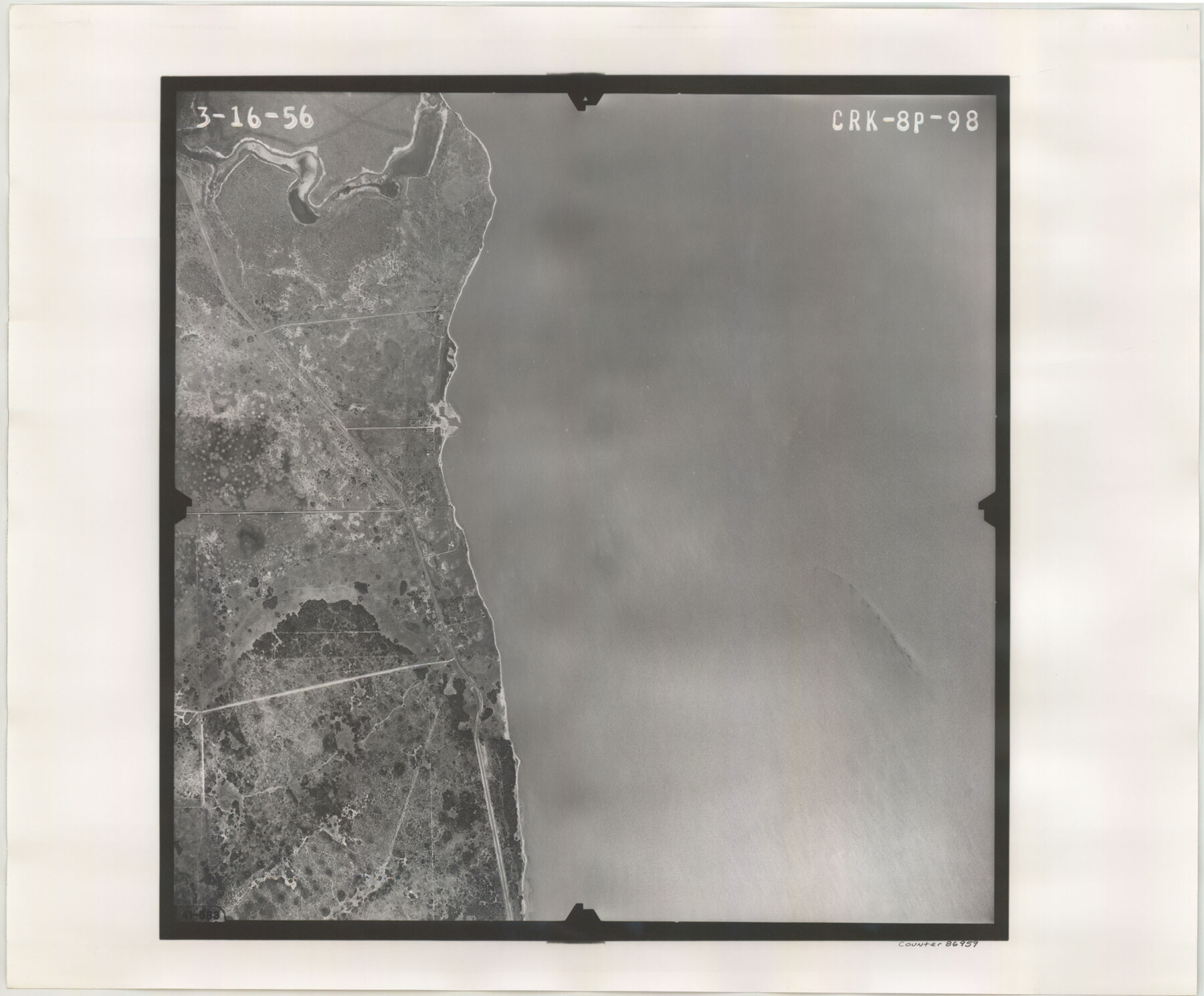
Flight Mission No. CRK-8P, Frame 98, Refugio County
CRK-8P-98
-
Map/Doc
86959
-
Collection
General Map Collection
-
Object Dates
1956/3/16 (Creation Date)
-
People and Organizations
U. S. Department of Agriculture (Publisher)
-
Counties
Refugio
-
Subjects
Aerial Photograph
-
Height x Width
18.2 x 22.0 inches
46.2 x 55.9 cm
-
Comments
Flown by V. L. Beavers and Associates of San Antonio, Texas.
Part of: General Map Collection
Crockett County Rolled Sketch 62

Print $20.00
- Digital $50.00
Crockett County Rolled Sketch 62
1947
Size 27.0 x 38.1 inches
Map/Doc 5605
Colorado County Sketch File 8

Print $4.00
- Digital $50.00
Colorado County Sketch File 8
1861
Size 12.4 x 8.5 inches
Map/Doc 18927
Mason County Working Sketch 10

Print $40.00
- Digital $50.00
Mason County Working Sketch 10
1949
Size 42.4 x 49.7 inches
Map/Doc 70846
Hardin County Rolled Sketch 12

Print $20.00
- Digital $50.00
Hardin County Rolled Sketch 12
1949
Size 36.3 x 47.3 inches
Map/Doc 10200
Tarrant County Working Sketch 6

Print $20.00
- Digital $50.00
Tarrant County Working Sketch 6
1979
Size 29.3 x 18.7 inches
Map/Doc 62423
Galveston County Rolled Sketch 45A

Print $20.00
- Digital $50.00
Galveston County Rolled Sketch 45A
1995
Size 19.6 x 29.9 inches
Map/Doc 5979
Pecos County Rolled Sketch 22

Print $20.00
- Digital $50.00
Pecos County Rolled Sketch 22
1886
Size 22.4 x 36.8 inches
Map/Doc 93454
Live Oak County Working Sketch 20

Print $20.00
- Digital $50.00
Live Oak County Working Sketch 20
1962
Size 29.7 x 35.7 inches
Map/Doc 70605
Medina County Boundary File 2

Print $11.00
- Digital $50.00
Medina County Boundary File 2
Size 13.0 x 8.1 inches
Map/Doc 57026
Brazoria County Working Sketch 27

Print $20.00
- Digital $50.00
Brazoria County Working Sketch 27
1970
Size 41.8 x 32.5 inches
Map/Doc 67512
Right of Way & Track Map Houston & Brazos Valley Ry. operated by Houston & Brazos Valley Ry. Co., Hoskins Mound Branch

Print $40.00
- Digital $50.00
Right of Way & Track Map Houston & Brazos Valley Ry. operated by Houston & Brazos Valley Ry. Co., Hoskins Mound Branch
1924
Size 25.3 x 56.4 inches
Map/Doc 64611
Val Verde County Rolled Sketch 70

Print $20.00
- Digital $50.00
Val Verde County Rolled Sketch 70
1958
Size 23.2 x 18.8 inches
Map/Doc 8132
You may also like
[State of Texas]
![92061, [State of Texas], Twichell Survey Records](https://historictexasmaps.com/wmedia_w700/maps/92061-1.tif.jpg)
Print $20.00
- Digital $50.00
[State of Texas]
Size 13.7 x 13.7 inches
Map/Doc 92061
Ward County Working Sketch 14

Print $20.00
- Digital $50.00
Ward County Working Sketch 14
1947
Size 30.3 x 28.8 inches
Map/Doc 72320
Flight Mission No. CUG-3P, Frame 193, Kleberg County

Print $20.00
- Digital $50.00
Flight Mission No. CUG-3P, Frame 193, Kleberg County
1956
Size 18.4 x 22.3 inches
Map/Doc 86297
Denton County Sketch File 43

Print $20.00
- Digital $50.00
Denton County Sketch File 43
2006
Size 11.0 x 8.5 inches
Map/Doc 83610
Val Verde County Rolled Sketch 84

Print $20.00
- Digital $50.00
Val Verde County Rolled Sketch 84
2006
Size 31.2 x 35.4 inches
Map/Doc 84802
Ashburn's 1951 Austin City Map

Ashburn's 1951 Austin City Map
1951
Size 22.5 x 17.4 inches
Map/Doc 97142
PSL Field Notes for Block JKL in Hudspeth County

PSL Field Notes for Block JKL in Hudspeth County
Map/Doc 81658
Connected Map of Austin's Colony

Print $20.00
- Digital $50.00
Connected Map of Austin's Colony
1833
Size 38.1 x 36.1 inches
Map/Doc 88999
Stephens County Sketch File 12

Print $8.00
- Digital $50.00
Stephens County Sketch File 12
1884
Size 10.8 x 8.3 inches
Map/Doc 37057
Dallam County Sketch File 2

Print $260.00
- Digital $50.00
Dallam County Sketch File 2
1886
Size 29.9 x 17.4 inches
Map/Doc 11278
Briscoe County

Print $20.00
- Digital $50.00
Briscoe County
1881
Size 26.8 x 21.5 inches
Map/Doc 3333
Stephens County Sketch File 1B

Print $20.00
- Digital $50.00
Stephens County Sketch File 1B
Size 12.9 x 28.2 inches
Map/Doc 12348