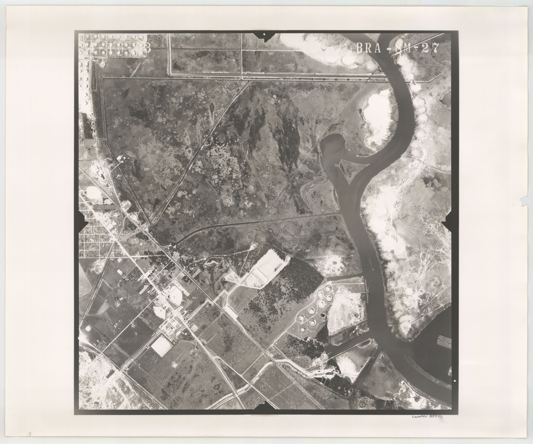
Flight Mission No. BRA-8M, Frame 27, Jefferson County
BRA-8M-27
-
Map/Doc
85582
-
Collection
General Map Collection
-
Object Dates
1953/4/16 (Creation Date)
-
People and Organizations
U. S. Department of Agriculture (Publisher)
-
Counties
Jefferson
-
Subjects
Aerial Photograph
-
Height x Width
18.6 x 22.3 inches
47.2 x 56.6 cm
-
Comments
Flown by Jack Ammann Photogrammetric Engineers of San Antonio, Texas.
Part of: General Map Collection
Waller County Sketch File 2a

Print $4.00
- Digital $50.00
Waller County Sketch File 2a
Size 8.0 x 8.4 inches
Map/Doc 39596
Newton County Sketch File 37

Print $6.00
- Digital $50.00
Newton County Sketch File 37
Size 16.2 x 10.7 inches
Map/Doc 32415
Flight Mission No. BQR-3K, Frame 160, Brazoria County

Print $20.00
- Digital $50.00
Flight Mission No. BQR-3K, Frame 160, Brazoria County
1952
Size 18.6 x 22.4 inches
Map/Doc 83987
Anderson County

Print $40.00
- Digital $50.00
Anderson County
1942
Size 54.8 x 48.8 inches
Map/Doc 95415
Upshur County Working Sketch 2

Print $20.00
- Digital $50.00
Upshur County Working Sketch 2
1934
Size 16.3 x 21.4 inches
Map/Doc 69558
Reagan County Rolled Sketch 36

Print $20.00
- Digital $50.00
Reagan County Rolled Sketch 36
1960
Size 31.0 x 13.4 inches
Map/Doc 7449
Cass County Working Sketch 25

Print $20.00
- Digital $50.00
Cass County Working Sketch 25
1974
Size 46.5 x 35.8 inches
Map/Doc 67928
Briscoe County

Print $20.00
- Digital $50.00
Briscoe County
1930
Size 46.2 x 39.2 inches
Map/Doc 1787
Angelina County Sketch File 5

Print $6.00
- Digital $50.00
Angelina County Sketch File 5
1854
Size 8.6 x 6.6 inches
Map/Doc 12928
Lipscomb County Rolled Sketch 1

Print $40.00
- Digital $50.00
Lipscomb County Rolled Sketch 1
Size 65.0 x 15.8 inches
Map/Doc 9449
Index sheet to accompany map of survey for connecting the inland waters along margin of the Gulf of Mexico from Donaldsonville in Louisiana to the Rio Grande River in Texas

Print $20.00
- Digital $50.00
Index sheet to accompany map of survey for connecting the inland waters along margin of the Gulf of Mexico from Donaldsonville in Louisiana to the Rio Grande River in Texas
1873
Size 18.2 x 28.1 inches
Map/Doc 72692
Baylor County Working Sketch 6

Print $20.00
- Digital $50.00
Baylor County Working Sketch 6
1943
Size 27.5 x 41.0 inches
Map/Doc 67291
You may also like
Map of Burleson County

Print $20.00
- Digital $50.00
Map of Burleson County
1867
Size 19.1 x 30.0 inches
Map/Doc 4511
Reagan County Rolled Sketch 20

Print $20.00
- Digital $50.00
Reagan County Rolled Sketch 20
1948
Size 45.8 x 45.0 inches
Map/Doc 9814
Val Verde County Working Sketch 43

Print $20.00
- Digital $50.00
Val Verde County Working Sketch 43
1945
Size 39.3 x 37.2 inches
Map/Doc 72178
Map of Galveston, Turtle & East Bays & portions of the Gulf of Mexico in Chambers & Galveston Counties, Texas showing subdivision for mineral development

Print $40.00
- Digital $50.00
Map of Galveston, Turtle & East Bays & portions of the Gulf of Mexico in Chambers & Galveston Counties, Texas showing subdivision for mineral development
1949
Size 48.9 x 54.8 inches
Map/Doc 2977
Castro County Sketch File 16

Print $4.00
- Digital $50.00
Castro County Sketch File 16
1891
Size 11.0 x 8.8 inches
Map/Doc 17513
Webb County Sketch File Z

Print $20.00
- Digital $50.00
Webb County Sketch File Z
1901
Size 16.8 x 22.2 inches
Map/Doc 12610
Frio County Sketch File 21

Print $20.00
- Digital $50.00
Frio County Sketch File 21
1938
Size 23.4 x 24.3 inches
Map/Doc 11520
Plat showing proposed counties to be taken from Zapata, Starr & Hidalgo Counties

Print $20.00
- Digital $50.00
Plat showing proposed counties to be taken from Zapata, Starr & Hidalgo Counties
1911
Size 24.8 x 27.0 inches
Map/Doc 2478
Knox County Working Sketch 7

Print $3.00
- Digital $50.00
Knox County Working Sketch 7
1941
Size 11.1 x 9.1 inches
Map/Doc 70249
Flight Mission No. DIX-6P, Frame 133, Aransas County

Print $20.00
- Digital $50.00
Flight Mission No. DIX-6P, Frame 133, Aransas County
1956
Size 19.6 x 23.3 inches
Map/Doc 83839
Hunt County Boundary File 8

Print $8.00
- Digital $50.00
Hunt County Boundary File 8
Size 14.6 x 8.9 inches
Map/Doc 55237
Texas Official Travel Map

Digital $50.00
Texas Official Travel Map
Size 33.4 x 36.4 inches
Map/Doc 94424