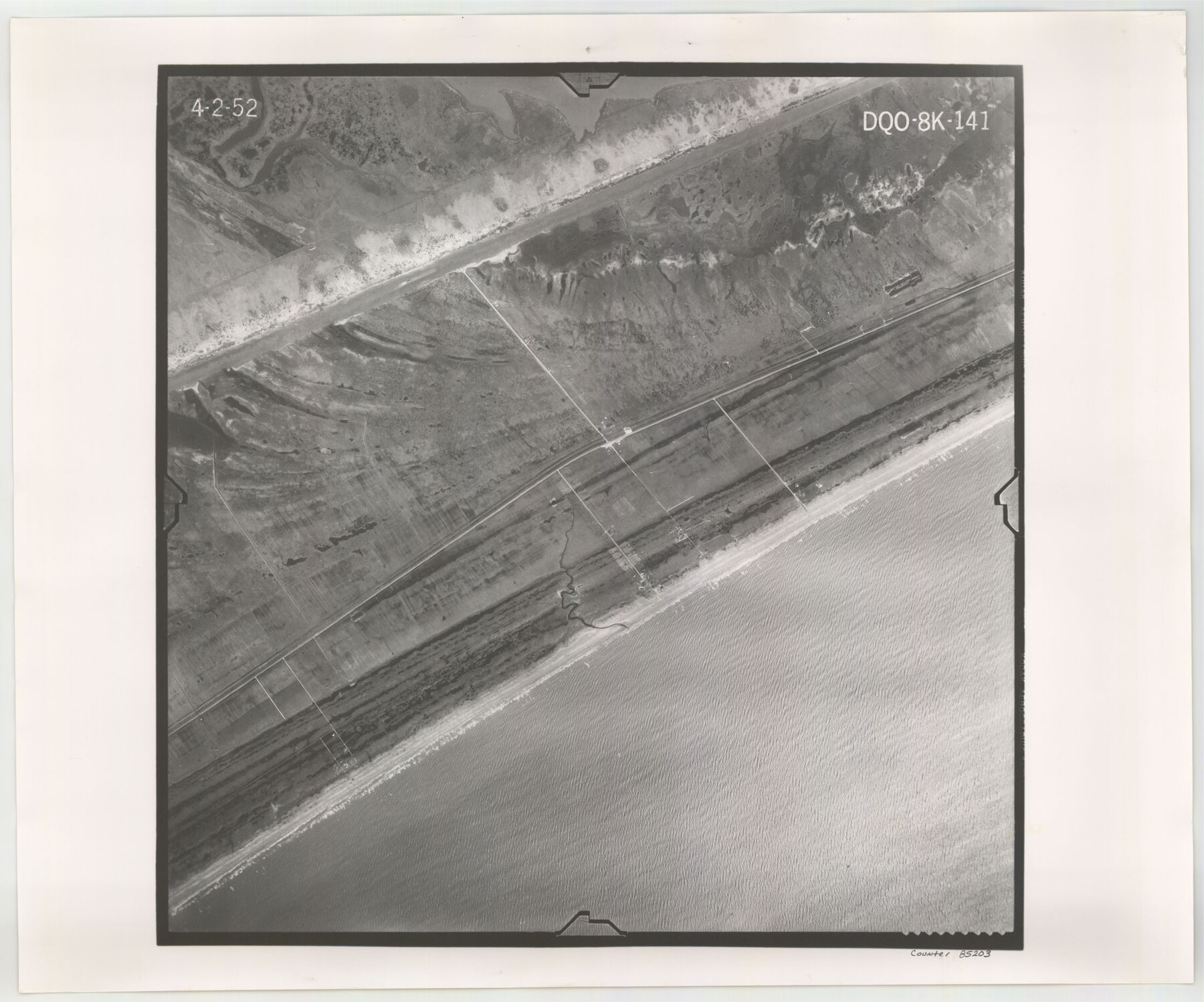
Flight Mission No. DQO-8K, Frame 141, Galveston County
DQO-8K-141
-
Map/Doc
85203
-
Collection
General Map Collection
-
Object Dates
1952/4/2 (Creation Date)
-
People and Organizations
U. S. Department of Agriculture (Publisher)
-
Counties
Galveston
-
Subjects
Aerial Photograph
-
Height x Width
18.6 x 22.4 inches
47.2 x 56.9 cm
-
Comments
Flown by Aero Exploration Company of Tulsa, Oklahoma.
Part of: General Map Collection
Aransas County Rolled Sketch 31

Print $20.00
- Digital $50.00
Aransas County Rolled Sketch 31
1986
Size 30.0 x 41.4 inches
Map/Doc 77498
Coast Chart No. 106 - Oyster Bay to Matagorda Bay, Texas

Print $20.00
- Digital $50.00
Coast Chart No. 106 - Oyster Bay to Matagorda Bay, Texas
1878
Size 24.7 x 30.0 inches
Map/Doc 69928

Yoakum County Sketch File 7

Print $6.00
- Digital $50.00
Yoakum County Sketch File 7
1906
Size 14.5 x 9.0 inches
Map/Doc 40750
[Sketch for Mineral Application 19144 - Pecos River Bed]
![65573, [Sketch for Mineral Application 19144 - Pecos River Bed], General Map Collection](https://historictexasmaps.com/wmedia_w700/maps/65573.tif.jpg)
Print $20.00
- Digital $50.00
[Sketch for Mineral Application 19144 - Pecos River Bed]
1927
Size 45.2 x 46.4 inches
Map/Doc 65573
Culberson County Sketch File 36

Print $28.00
- Digital $50.00
Culberson County Sketch File 36
1957
Size 11.3 x 8.7 inches
Map/Doc 20302
Flight Mission No. CGI-3N, Frame 159, Cameron County

Print $20.00
- Digital $50.00
Flight Mission No. CGI-3N, Frame 159, Cameron County
1954
Size 18.6 x 22.3 inches
Map/Doc 84623
San Augustine County Working Sketch 27

Print $20.00
- Digital $50.00
San Augustine County Working Sketch 27
2009
Size 30.4 x 31.3 inches
Map/Doc 89020
[Beaumont, Sour Lake and Western Ry. Right of Way and Alignment - Frisco]
![64121, [Beaumont, Sour Lake and Western Ry. Right of Way and Alignment - Frisco], General Map Collection](https://historictexasmaps.com/wmedia_w700/maps/64121.tif.jpg)
Print $20.00
- Digital $50.00
[Beaumont, Sour Lake and Western Ry. Right of Way and Alignment - Frisco]
1910
Size 20.0 x 45.8 inches
Map/Doc 64121
Hudspeth County Working Sketch 18

Print $40.00
- Digital $50.00
Hudspeth County Working Sketch 18
1957
Size 22.2 x 113.1 inches
Map/Doc 66300
Gray County Working Sketch 1

Print $20.00
- Digital $50.00
Gray County Working Sketch 1
1957
Size 37.3 x 17.4 inches
Map/Doc 62196
Topographical Map of the Rio Grande, Sheet No. 20

Print $20.00
- Digital $50.00
Topographical Map of the Rio Grande, Sheet No. 20
1912
Map/Doc 89544
You may also like
La Salle County Rolled Sketch 7

Print $40.00
- Digital $50.00
La Salle County Rolled Sketch 7
Size 38.7 x 48.0 inches
Map/Doc 10652
Panola County Working Sketch 2

Print $20.00
- Digital $50.00
Panola County Working Sketch 2
1920
Map/Doc 71411
Pecos County Working Sketch 108

Print $40.00
- Digital $50.00
Pecos County Working Sketch 108
1971
Size 43.5 x 56.3 inches
Map/Doc 71581
Map of Bexar County, Texas

Print $20.00
- Digital $50.00
Map of Bexar County, Texas
1879
Size 25.1 x 29.7 inches
Map/Doc 530
Kinney County Working Sketch 33

Print $20.00
- Digital $50.00
Kinney County Working Sketch 33
1962
Size 39.0 x 44.2 inches
Map/Doc 70215
Flight Mission No. CUG-3P, Frame 90, Kleberg County

Print $20.00
- Digital $50.00
Flight Mission No. CUG-3P, Frame 90, Kleberg County
1956
Size 18.6 x 22.3 inches
Map/Doc 86260
Carson County Sketch File 1

Print $20.00
- Digital $50.00
Carson County Sketch File 1
Size 16.8 x 18.5 inches
Map/Doc 11053
Visitor's Guide to Mexico City, D.F. [and Index to Cities and Villages and Route Summaries]
![96822, Visitor's Guide to Mexico City, D.F. [and Index to Cities and Villages and Route Summaries], General Map Collection](https://historictexasmaps.com/wmedia_w700/maps/96822.tif.jpg)
Visitor's Guide to Mexico City, D.F. [and Index to Cities and Villages and Route Summaries]
1999
Size 33.7 x 25.1 inches
Map/Doc 96822
Culberson County Working Sketch 54

Print $20.00
- Digital $50.00
Culberson County Working Sketch 54
1974
Size 26.4 x 32.6 inches
Map/Doc 68508
Comanche County Working Sketch 9

Print $20.00
- Digital $50.00
Comanche County Working Sketch 9
1954
Size 18.6 x 21.5 inches
Map/Doc 68143
Concho County Sketch File 24

Print $12.00
- Digital $50.00
Concho County Sketch File 24
1885
Size 11.1 x 8.4 inches
Map/Doc 19149
Brewster County Rolled Sketch 18B

Print $20.00
- Digital $50.00
Brewster County Rolled Sketch 18B
1906
Size 16.2 x 18.1 inches
Map/Doc 5197