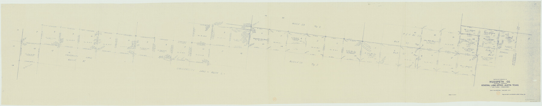
Hudspeth County Working Sketch 18
-
Map/Doc
66300
-
Collection
General Map Collection
-
Object Dates
6/5/1957 (Creation Date)
-
People and Organizations
Otto G. Kurio (Draftsman)
-
Counties
Hudspeth
-
Subjects
Surveying Working Sketch
-
Height x Width
22.2 x 113.1 inches
56.4 x 287.3 cm
-
Scale
1" = 500 varas
Part of: General Map Collection
Goliad County Sketch File 35

Print $20.00
- Digital $50.00
Goliad County Sketch File 35
1924
Size 22.8 x 27.6 inches
Map/Doc 11570
Hudspeth County Working Sketch 33

Print $20.00
- Digital $50.00
Hudspeth County Working Sketch 33
1977
Size 26.8 x 21.4 inches
Map/Doc 66318
Flight Mission No. DQN-1K, Frame 103, Calhoun County

Print $20.00
- Digital $50.00
Flight Mission No. DQN-1K, Frame 103, Calhoun County
1953
Size 18.5 x 22.1 inches
Map/Doc 84170
Terrell County Working Sketch 69

Print $20.00
- Digital $50.00
Terrell County Working Sketch 69
1978
Size 28.0 x 32.7 inches
Map/Doc 69590
Williamson County Rolled Sketch 5

Print $20.00
- Digital $50.00
Williamson County Rolled Sketch 5
1940
Size 23.7 x 34.5 inches
Map/Doc 8263
Flight Mission No. CLL-1N, Frame 108, Willacy County

Print $20.00
- Digital $50.00
Flight Mission No. CLL-1N, Frame 108, Willacy County
1954
Size 18.3 x 22.0 inches
Map/Doc 87042
Anderson County Working Sketch 20

Print $20.00
- Digital $50.00
Anderson County Working Sketch 20
1952
Size 23.1 x 20.6 inches
Map/Doc 67020
Guadalupe County Working Sketch 3

Print $20.00
- Digital $50.00
Guadalupe County Working Sketch 3
1980
Size 17.1 x 16.5 inches
Map/Doc 63312
Cooke County Rolled Sketch 3

Print $20.00
- Digital $50.00
Cooke County Rolled Sketch 3
1944
Size 37.1 x 40.2 inches
Map/Doc 8670
Right of Way and Track Map International & Gt Northern Ry. operated by the International & Gt. Northern Ry. Co., San Antonio Division

Print $40.00
- Digital $50.00
Right of Way and Track Map International & Gt Northern Ry. operated by the International & Gt. Northern Ry. Co., San Antonio Division
1917
Size 25.6 x 58.1 inches
Map/Doc 64587
Tyler County Rolled Sketch 6

Print $40.00
- Digital $50.00
Tyler County Rolled Sketch 6
1956
Size 76.1 x 43.2 inches
Map/Doc 10029
Val Verde County Working Sketch 20

Print $20.00
- Digital $50.00
Val Verde County Working Sketch 20
1929
Size 30.5 x 20.2 inches
Map/Doc 72155
You may also like
Flight Mission No. CRC-3R, Frame 167, Chambers County

Print $20.00
- Digital $50.00
Flight Mission No. CRC-3R, Frame 167, Chambers County
1956
Size 18.7 x 22.3 inches
Map/Doc 84849
Hunt Co., 1894

Print $40.00
- Digital $50.00
Hunt Co., 1894
1894
Size 30.3 x 49.2 inches
Map/Doc 89652
Hardin County Working Sketch 3

Print $3.00
- Digital $50.00
Hardin County Working Sketch 3
1906
Size 9.1 x 11.0 inches
Map/Doc 63401
[Map of Grayson County]
![4551, [Map of Grayson County], General Map Collection](https://historictexasmaps.com/wmedia_w700/maps/4551-1.tif.jpg)
Print $20.00
- Digital $50.00
[Map of Grayson County]
1848
Size 25.6 x 20.0 inches
Map/Doc 4551
[Beaumont, Sour Lake and Western Ry. Right of Way and Alignment - Frisco]
![64108, [Beaumont, Sour Lake and Western Ry. Right of Way and Alignment - Frisco], General Map Collection](https://historictexasmaps.com/wmedia_w700/maps/64108.tif.jpg)
Print $20.00
- Digital $50.00
[Beaumont, Sour Lake and Western Ry. Right of Way and Alignment - Frisco]
1910
Size 19.9 x 45.9 inches
Map/Doc 64108
[Sketch showing parts of PSL Bloks Q, L, and P]
![89687, [Sketch showing parts of PSL Bloks Q, L, and P], Twichell Survey Records](https://historictexasmaps.com/wmedia_w700/maps/89687-1.tif.jpg)
Print $40.00
- Digital $50.00
[Sketch showing parts of PSL Bloks Q, L, and P]
Size 62.4 x 23.2 inches
Map/Doc 89687
Presidio County Working Sketch 66

Print $20.00
- Digital $50.00
Presidio County Working Sketch 66
1960
Size 44.9 x 22.8 inches
Map/Doc 71743
Flight Mission No. BRE-1P, Frame 121, Nueces County

Print $20.00
- Digital $50.00
Flight Mission No. BRE-1P, Frame 121, Nueces County
1956
Size 18.6 x 22.7 inches
Map/Doc 86687
[Sketch showing parts of H. & G. N. RR. Co. Blocks 7 and 8, K. Aycock Block 4, G. H. & H. RR. Co. Block 5 and various surveys west]
![90871, [Sketch showing parts of H. & G. N. RR. Co. Blocks 7 and 8, K. Aycock Block 4, G. H. & H. RR. Co. Block 5 and various surveys west], Twichell Survey Records](https://historictexasmaps.com/wmedia_w700/maps/90871-2.tif.jpg)
Print $20.00
- Digital $50.00
[Sketch showing parts of H. & G. N. RR. Co. Blocks 7 and 8, K. Aycock Block 4, G. H. & H. RR. Co. Block 5 and various surveys west]
1902
Size 25.5 x 17.3 inches
Map/Doc 90871
General Highway Map. Detail of Cities and Towns in Hale County, Texas [Plainview and vicinity]
![79494, General Highway Map. Detail of Cities and Towns in Hale County, Texas [Plainview and vicinity], Texas State Library and Archives](https://historictexasmaps.com/wmedia_w700/maps/79494.tif.jpg)
Print $20.00
General Highway Map. Detail of Cities and Towns in Hale County, Texas [Plainview and vicinity]
1961
Size 24.6 x 18.2 inches
Map/Doc 79494
Outer Continental Shelf Leasing Maps (Texas Offshore Operations)

Print $20.00
- Digital $50.00
Outer Continental Shelf Leasing Maps (Texas Offshore Operations)
Size 24.0 x 18.4 inches
Map/Doc 75853
