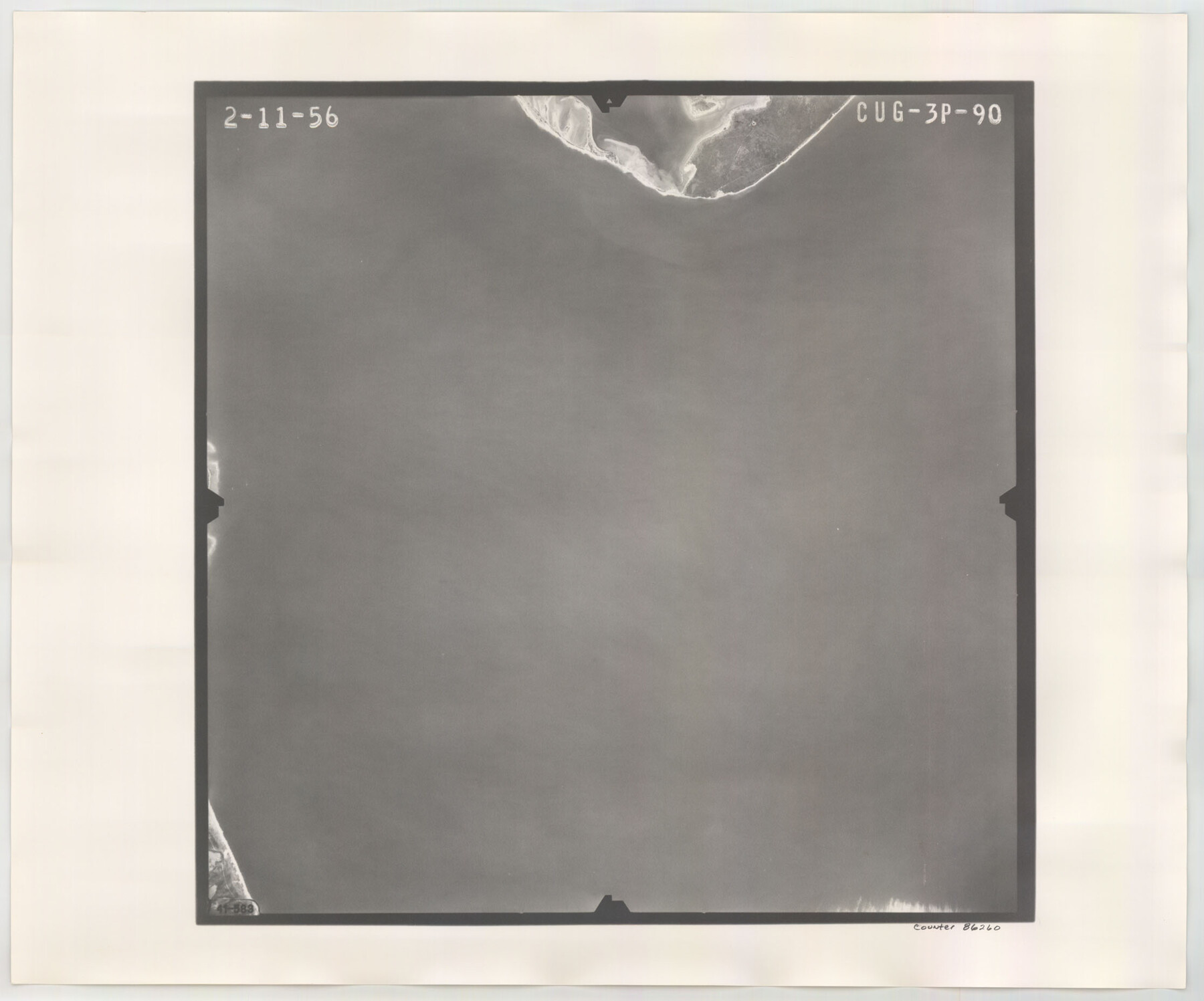
Flight Mission No. CUG-3P, Frame 90, Kleberg County
CUG-3P-90
-
Map/Doc
86260
-
Collection
General Map Collection
-
Object Dates
1956/2/11 (Creation Date)
-
People and Organizations
U. S. Department of Agriculture (Publisher)
-
Counties
Kleberg
-
Subjects
Aerial Photograph
-
Height x Width
18.6 x 22.3 inches
47.2 x 56.6 cm
-
Comments
Flown by V. L. Beavers and Associates of San Antonio, Texas.
Part of: General Map Collection
Intracoastal Waterway, Houma, LA to Corpus Christi, TX

Print $20.00
- Digital $50.00
Intracoastal Waterway, Houma, LA to Corpus Christi, TX
Size 18.7 x 30.2 inches
Map/Doc 61908
Map of Starr County

Print $20.00
- Digital $50.00
Map of Starr County
1880
Size 46.8 x 27.0 inches
Map/Doc 4044
Coryell County Working Sketch 18

Print $20.00
- Digital $50.00
Coryell County Working Sketch 18
1965
Size 24.6 x 34.3 inches
Map/Doc 68225
Upshur County Working Sketch 6

Print $20.00
- Digital $50.00
Upshur County Working Sketch 6
1943
Size 28.6 x 34.3 inches
Map/Doc 69562
Matagorda County NRC Article 33.136 Sketch 1

Print $21.00
- Digital $50.00
Matagorda County NRC Article 33.136 Sketch 1
2004
Size 17.6 x 23.1 inches
Map/Doc 82920

Flight Mission No. BQR-13K, Frame 119, Brazoria County

Print $20.00
- Digital $50.00
Flight Mission No. BQR-13K, Frame 119, Brazoria County
1952
Size 19.0 x 22.6 inches
Map/Doc 84080
San Luis Pass to East Matagorda Bay

Print $40.00
- Digital $50.00
San Luis Pass to East Matagorda Bay
1986
Size 35.6 x 49.0 inches
Map/Doc 69971
Concho County Sketch File 20

Print $20.00
- Digital $50.00
Concho County Sketch File 20
Size 17.0 x 18.2 inches
Map/Doc 11154
Liberty County Working Sketch 42

Print $20.00
- Digital $50.00
Liberty County Working Sketch 42
1953
Size 24.0 x 35.8 inches
Map/Doc 70501
Flight Mission No. DQN-1K, Frame 83, Calhoun County

Print $20.00
- Digital $50.00
Flight Mission No. DQN-1K, Frame 83, Calhoun County
1953
Size 18.4 x 22.2 inches
Map/Doc 84168
Castro County Sketch File 4j

Print $4.00
- Digital $50.00
Castro County Sketch File 4j
Size 13.5 x 8.7 inches
Map/Doc 17483
You may also like
Hidalgo County Working Sketch 2

Print $20.00
- Digital $50.00
Hidalgo County Working Sketch 2
1906
Size 22.0 x 28.0 inches
Map/Doc 66179
General Highway Map, Yoakum County, Texas

Print $20.00
General Highway Map, Yoakum County, Texas
1940
Size 18.3 x 24.9 inches
Map/Doc 79285
Flight Mission No. DAG-21K, Frame 94, Matagorda County

Print $20.00
- Digital $50.00
Flight Mission No. DAG-21K, Frame 94, Matagorda County
1952
Size 18.6 x 22.3 inches
Map/Doc 86423
Freestone County Working Sketch 17

Print $20.00
- Digital $50.00
Freestone County Working Sketch 17
1980
Size 44.8 x 31.0 inches
Map/Doc 69259
Kenedy County Boundary File 1

Print $10.00
- Digital $50.00
Kenedy County Boundary File 1
Size 9.1 x 5.5 inches
Map/Doc 55777
Flight Mission No. DAG-17K, Frame 77, Matagorda County

Print $20.00
- Digital $50.00
Flight Mission No. DAG-17K, Frame 77, Matagorda County
1952
Size 16.7 x 16.3 inches
Map/Doc 86336
Baylor County Sketch File A8

Print $4.00
- Digital $50.00
Baylor County Sketch File A8
1899
Size 14.1 x 8.7 inches
Map/Doc 14094
Flight Mission No. CGI-3N, Frame 143, Cameron County

Print $20.00
- Digital $50.00
Flight Mission No. CGI-3N, Frame 143, Cameron County
1954
Size 18.5 x 22.1 inches
Map/Doc 84616
From Citizens of Montgomery County to Redefine the Boundary Between Harris and Montgomery Counties, May 8, 1838

Print $20.00
From Citizens of Montgomery County to Redefine the Boundary Between Harris and Montgomery Counties, May 8, 1838
2020
Size 15.4 x 21.7 inches
Map/Doc 96382
Shelby County Working Sketch 19

Print $20.00
- Digital $50.00
Shelby County Working Sketch 19
1969
Size 36.9 x 30.2 inches
Map/Doc 63872
Zavala County Sketch File 47

Print $6.00
- Digital $50.00
Zavala County Sketch File 47
1937
Size 11.3 x 9.0 inches
Map/Doc 41430
Dallam County

Print $40.00
- Digital $50.00
Dallam County
1901
Size 44.3 x 56.3 inches
Map/Doc 93459