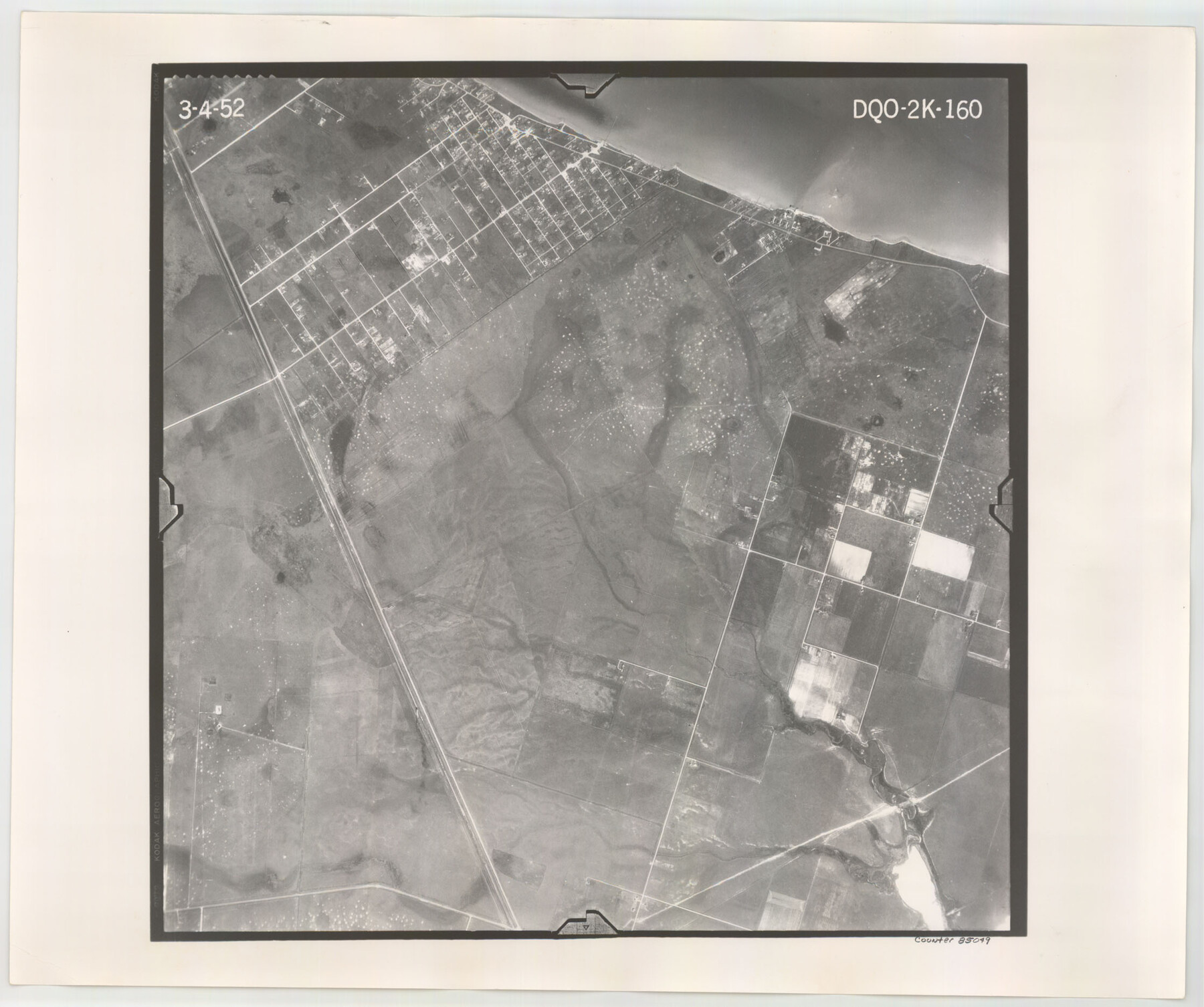
Flight Mission No. DQO-2K, Frame 160, Galveston County
DQO-2K-160
-
Map/Doc
85049
-
Collection
General Map Collection
-
Object Dates
1952/3/4 (Creation Date)
-
People and Organizations
U. S. Department of Agriculture (Publisher)
-
Counties
Galveston
-
Subjects
Aerial Photograph
-
Height x Width
18.7 x 22.4 inches
47.5 x 56.9 cm
-
Comments
Flown by Aero Exploration Company of Tulsa, Oklahoma.
Part of: General Map Collection
Sterling County Rolled Sketch 26

Print $20.00
- Digital $50.00
Sterling County Rolled Sketch 26
1955
Size 23.8 x 21.4 inches
Map/Doc 7851
County and Railroad Map of Texas

Print $20.00
- Digital $50.00
County and Railroad Map of Texas
1876
Size 17.0 x 16.0 inches
Map/Doc 93624
Flight Mission No. DQN-5K, Frame 45, Calhoun County

Print $20.00
- Digital $50.00
Flight Mission No. DQN-5K, Frame 45, Calhoun County
1953
Size 18.4 x 22.1 inches
Map/Doc 84390
Wilbarger County Boundary File 1c

Print $6.00
- Digital $50.00
Wilbarger County Boundary File 1c
Size 12.2 x 9.6 inches
Map/Doc 59954
Kaufman County Working Sketch 6

Print $20.00
- Digital $50.00
Kaufman County Working Sketch 6
1937
Size 22.4 x 27.9 inches
Map/Doc 66669
Flight Mission No. DQN-2K, Frame 142, Calhoun County

Print $20.00
- Digital $50.00
Flight Mission No. DQN-2K, Frame 142, Calhoun County
1953
Size 16.3 x 16.0 inches
Map/Doc 84311
Flight Mission No. CRK-3P, Frame 175, Refugio County

Print $20.00
- Digital $50.00
Flight Mission No. CRK-3P, Frame 175, Refugio County
1956
Size 18.6 x 21.7 inches
Map/Doc 86922
Aransas County Working Sketch 14

Print $20.00
- Digital $50.00
Aransas County Working Sketch 14
1951
Size 22.5 x 22.3 inches
Map/Doc 67181
Map of Eastland Co.

Print $20.00
- Digital $50.00
Map of Eastland Co.
1896
Size 40.8 x 43.8 inches
Map/Doc 66809
Hays Co., 1855

Print $20.00
- Digital $50.00
Hays Co., 1855
1853
Size 20.5 x 28.6 inches
Map/Doc 3650
Flight Mission No. DIX-6P, Frame 110, Aransas County

Print $20.00
- Digital $50.00
Flight Mission No. DIX-6P, Frame 110, Aransas County
1956
Size 19.7 x 23.4 inches
Map/Doc 83816
Sectional Map No. 5 of the lands and of the line of the Texas & Pacific Ry. Co. in part of El Paso County

Print $20.00
- Digital $50.00
Sectional Map No. 5 of the lands and of the line of the Texas & Pacific Ry. Co. in part of El Paso County
1885
Size 22.5 x 17.9 inches
Map/Doc 2305
You may also like
Edwards County Sketch File 13

Print $6.00
- Digital $50.00
Edwards County Sketch File 13
1888
Size 11.1 x 7.1 inches
Map/Doc 21700
University Lands, Block 35, Crane & Ector Counties

Print $20.00
- Digital $50.00
University Lands, Block 35, Crane & Ector Counties
1935
Size 39.9 x 45.5 inches
Map/Doc 2406
Denton County Rolled Sketch 6

Print $20.00
- Digital $50.00
Denton County Rolled Sketch 6
1983
Size 25.4 x 37.2 inches
Map/Doc 5702
Denton County Sketch File AB

Print $8.00
- Digital $50.00
Denton County Sketch File AB
1896
Size 7.8 x 6.9 inches
Map/Doc 20677
Boundary Between the United States & Mexico Agreed Upon by the Joint Commission under the Treaty of Guadalupe Hidalgo

Print $4.00
- Digital $50.00
Boundary Between the United States & Mexico Agreed Upon by the Joint Commission under the Treaty of Guadalupe Hidalgo
1853
Size 24.5 x 18.4 inches
Map/Doc 65394
Flight Mission No. CGI-3N, Frame 66, Cameron County

Print $20.00
- Digital $50.00
Flight Mission No. CGI-3N, Frame 66, Cameron County
1954
Size 18.6 x 22.1 inches
Map/Doc 84560
Terrell County Working Sketch 17

Print $20.00
- Digital $50.00
Terrell County Working Sketch 17
1928
Size 15.2 x 32.3 inches
Map/Doc 62166
A New and Accurate Map of Louisiana with parts of Florida and Canada and the Adjacent Countries

Print $20.00
- Digital $50.00
A New and Accurate Map of Louisiana with parts of Florida and Canada and the Adjacent Countries
1747
Size 15.8 x 18.6 inches
Map/Doc 93680
Dallas County Rolled Sketch 3

Print $40.00
- Digital $50.00
Dallas County Rolled Sketch 3
1953
Size 30.7 x 78.5 inches
Map/Doc 8767
Sabine Pass and mouth of the River Sabine

Print $20.00
- Digital $50.00
Sabine Pass and mouth of the River Sabine
1840
Size 27.0 x 18.3 inches
Map/Doc 72726
Pecos County Rolled Sketch 26A

Print $40.00
- Digital $50.00
Pecos County Rolled Sketch 26A
1890
Size 56.4 x 19.5 inches
Map/Doc 9689
Cooke County Rolled Sketch 2

Print $20.00
- Digital $50.00
Cooke County Rolled Sketch 2
1944
Size 29.4 x 28.1 inches
Map/Doc 5561