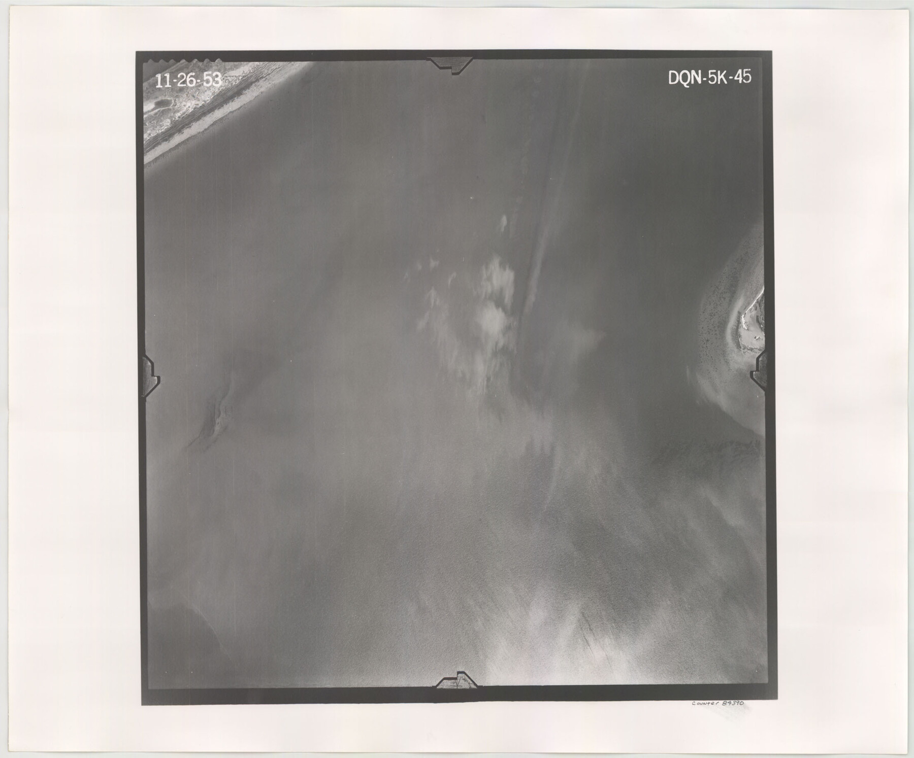
Flight Mission No. DQN-5K, Frame 45, Calhoun County
DQN-5K-45
-
Map/Doc
84390
-
Collection
General Map Collection
-
Object Dates
1953/11/26 (Creation Date)
-
People and Organizations
U. S. Department of Agriculture (Publisher)
-
Counties
Calhoun
-
Subjects
Aerial Photograph
-
Height x Width
18.4 x 22.1 inches
46.7 x 56.1 cm
-
Comments
Flown by Aero Exploration Company of Tulsa, Oklahoma.
Part of: General Map Collection
1875 land survey for the International and Great Northern Rail-road Company

Print $40.00
- Digital $50.00
1875 land survey for the International and Great Northern Rail-road Company
1875
Size 42.5 x 60.6 inches
Map/Doc 2306
Hardin County Working Sketch 32

Print $20.00
- Digital $50.00
Hardin County Working Sketch 32
1978
Size 41.7 x 38.0 inches
Map/Doc 63430
Flight Mission No. CZW-2R, Frame 66, Hardeman County

Print $20.00
- Digital $50.00
Flight Mission No. CZW-2R, Frame 66, Hardeman County
1956
Size 18.6 x 22.4 inches
Map/Doc 85239
Leon County Working Sketch 1

Print $20.00
- Digital $50.00
Leon County Working Sketch 1
Size 16.1 x 18.7 inches
Map/Doc 70400
Hemphill County Working Sketch 24

Print $40.00
- Digital $50.00
Hemphill County Working Sketch 24
1974
Size 48.6 x 37.4 inches
Map/Doc 66119
Fractional Township No. 8 South Range No. 16 East of the Indian Meridian, Indian Territory

Print $20.00
- Digital $50.00
Fractional Township No. 8 South Range No. 16 East of the Indian Meridian, Indian Territory
1896
Size 19.3 x 24.3 inches
Map/Doc 75228
Loving County Working Sketch 6

Print $40.00
- Digital $50.00
Loving County Working Sketch 6
1947
Size 31.3 x 51.0 inches
Map/Doc 70638
Crockett County Working Sketch 41

Print $20.00
- Digital $50.00
Crockett County Working Sketch 41
1928
Size 20.4 x 23.2 inches
Map/Doc 68374
Flight Mission No. DCL-6C, Frame 67, Kenedy County

Print $20.00
- Digital $50.00
Flight Mission No. DCL-6C, Frame 67, Kenedy County
1943
Size 18.6 x 22.2 inches
Map/Doc 85909
Flight Mission No. DQN-2K, Frame 157, Calhoun County

Print $20.00
- Digital $50.00
Flight Mission No. DQN-2K, Frame 157, Calhoun County
1953
Size 18.5 x 22.2 inches
Map/Doc 84319
Foard County Rolled Sketch 11

Print $20.00
- Digital $50.00
Foard County Rolled Sketch 11
Size 29.2 x 35.6 inches
Map/Doc 5885
Swisher County

Print $20.00
- Digital $50.00
Swisher County
1910
Size 47.5 x 39.8 inches
Map/Doc 16888
You may also like
Dimmit County Working Sketch 45

Print $20.00
- Digital $50.00
Dimmit County Working Sketch 45
1979
Size 44.7 x 35.5 inches
Map/Doc 68706
Chart of the Antarctic Continent shewing the icy barrier attached to it discovered by the U.S. Ex. Ex.

Print $20.00
- Digital $50.00
Chart of the Antarctic Continent shewing the icy barrier attached to it discovered by the U.S. Ex. Ex.
1840
Size 26.5 x 37.2 inches
Map/Doc 94059
Counties of Martin, Dawson, Borden, Howard, Texas, Soash Lands, Big Spring Ranch

Print $20.00
- Digital $50.00
Counties of Martin, Dawson, Borden, Howard, Texas, Soash Lands, Big Spring Ranch
Size 34.7 x 36.9 inches
Map/Doc 93006
Sherman County, Texas

Print $20.00
- Digital $50.00
Sherman County, Texas
1888
Size 23.1 x 18.5 inches
Map/Doc 754
Grayson County Working Sketch 5

Print $20.00
- Digital $50.00
Grayson County Working Sketch 5
1939
Size 28.4 x 40.6 inches
Map/Doc 63244
Blocks 56 and 57, Townships 1 and 2, resurvey of Texas & Pacific Railway Lands in the eighty mile reservation

Print $20.00
- Digital $50.00
Blocks 56 and 57, Townships 1 and 2, resurvey of Texas & Pacific Railway Lands in the eighty mile reservation
1931
Size 41.4 x 31.4 inches
Map/Doc 2246
Andrews County

Print $40.00
- Digital $50.00
Andrews County
1951
Size 42.7 x 54.4 inches
Map/Doc 73067
El Paso County Rolled Sketch 44

Print $129.00
- Digital $50.00
El Paso County Rolled Sketch 44
1902
Size 10.4 x 15.5 inches
Map/Doc 44430
Palo Pinto County Rolled Sketch 13

Print $20.00
- Digital $50.00
Palo Pinto County Rolled Sketch 13
1986
Size 29.0 x 32.2 inches
Map/Doc 7193
Cameron County Rolled Sketch 18

Print $64.00
- Digital $50.00
Cameron County Rolled Sketch 18
1970
Size 48.9 x 57.1 inches
Map/Doc 8571
Sterling County Sketch File 7

Print $25.00
- Digital $50.00
Sterling County Sketch File 7
1926
Size 11.7 x 12.1 inches
Map/Doc 37121
Maps of Gulf Intracoastal Waterway, Texas - Sabine River to the Rio Grande and connecting waterways including ship channels

Print $20.00
- Digital $50.00
Maps of Gulf Intracoastal Waterway, Texas - Sabine River to the Rio Grande and connecting waterways including ship channels
1966
Size 14.5 x 22.3 inches
Map/Doc 61977