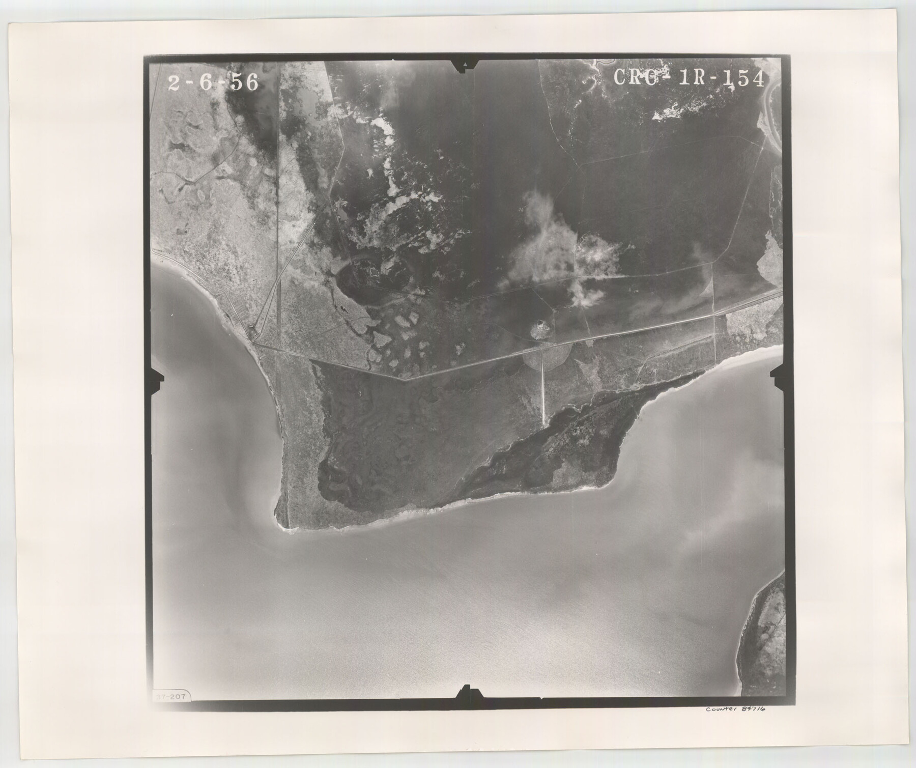
Flight Mission No. CRC-1R, Frame 154, Chambers County
CRC-1R-154
-
Map/Doc
84716
-
Collection
General Map Collection
-
Object Dates
1956/2/6 (Creation Date)
-
People and Organizations
U. S. Department of Agriculture (Publisher)
-
Counties
Chambers
-
Subjects
Aerial Photograph
-
Height x Width
18.9 x 22.5 inches
48.0 x 57.2 cm
-
Comments
Flown by Jack Ammann Photogrammetric Engineers, Inc. of San Antonio, Texas.
Part of: General Map Collection
Plat of South 1/2 of Colorado River Channel in McCulloch Co., Texas from Concho County line down river 34 mile 315 varas

Print $40.00
- Digital $50.00
Plat of South 1/2 of Colorado River Channel in McCulloch Co., Texas from Concho County line down river 34 mile 315 varas
1918
Size 41.5 x 104.6 inches
Map/Doc 2463
McMullen County Working Sketch 46

Print $20.00
- Digital $50.00
McMullen County Working Sketch 46
1982
Size 35.2 x 22.0 inches
Map/Doc 70747
Navasota River, Springfield Sheet

Print $20.00
- Digital $50.00
Navasota River, Springfield Sheet
1934
Size 41.5 x 37.8 inches
Map/Doc 65074
[Gulf, Colorado & Santa Fe]
![64591, [Gulf, Colorado & Santa Fe], General Map Collection](https://historictexasmaps.com/wmedia_w700/maps/64591.tif.jpg)
Print $40.00
- Digital $50.00
[Gulf, Colorado & Santa Fe]
1918
Size 63.1 x 31.2 inches
Map/Doc 64591
Brewster County Sketch File C-1

Print $14.00
- Digital $50.00
Brewster County Sketch File C-1
1911
Size 11.2 x 8.9 inches
Map/Doc 15719
Public School Land Field Note Volume Index

Public School Land Field Note Volume Index
2023
Size 8.5 x 11.0 inches
Map/Doc 97176
Llano County Working Sketch 13

Print $20.00
- Digital $50.00
Llano County Working Sketch 13
1987
Size 23.0 x 22.3 inches
Map/Doc 70631
Jefferson County NRC Article 33.136 Sketch 6

Print $4.00
- Digital $50.00
Jefferson County NRC Article 33.136 Sketch 6
2005
Size 14.1 x 8.6 inches
Map/Doc 83171
Mexico, Regia et Celebris Hispaniae Novae Civitas [and] Cusco, Rengi Peru in Novo Orbe Casvt
![97025, Mexico, Regia et Celebris Hispaniae Novae Civitas [and] Cusco, Rengi Peru in Novo Orbe Casvt, General Map Collection](https://historictexasmaps.com/wmedia_w700/maps/97025-1.tif.jpg)
Print $20.00
- Digital $50.00
Mexico, Regia et Celebris Hispaniae Novae Civitas [and] Cusco, Rengi Peru in Novo Orbe Casvt
1572
Size 13.8 x 20.1 inches
Map/Doc 97025
[Jacob Masters league and those adjoining and Surveys on Elkhart Creek]
![183, [Jacob Masters league and those adjoining and Surveys on Elkhart Creek], General Map Collection](https://historictexasmaps.com/wmedia_w700/maps/183.tif.jpg)
Print $20.00
- Digital $50.00
[Jacob Masters league and those adjoining and Surveys on Elkhart Creek]
1846
Size 20.3 x 8.0 inches
Map/Doc 183
Fannin County Working Sketch 6

Print $20.00
- Digital $50.00
Fannin County Working Sketch 6
1939
Size 11.4 x 18.0 inches
Map/Doc 69160
Comanche County Sketch File 20a

Print $2.00
- Digital $50.00
Comanche County Sketch File 20a
Size 12.9 x 8.2 inches
Map/Doc 19105
You may also like
Nueces County Rolled Sketch 119

Print $90.00
Nueces County Rolled Sketch 119
1994
Size 26.1 x 36.5 inches
Map/Doc 7151
Hansford County

Print $20.00
- Digital $50.00
Hansford County
1878
Size 19.5 x 17.0 inches
Map/Doc 3623
City of Lubbock, Lubbock County, Texas

Print $40.00
- Digital $50.00
City of Lubbock, Lubbock County, Texas
1946
Size 54.3 x 39.1 inches
Map/Doc 89902
Red River County Red River District

Print $20.00
- Digital $50.00
Red River County Red River District
1879
Size 24.9 x 21.8 inches
Map/Doc 3976
Montgomery County

Print $20.00
- Digital $50.00
Montgomery County
1871
Size 21.5 x 23.9 inches
Map/Doc 4598
Cass County Sketch File 19

Print $40.00
- Digital $50.00
Cass County Sketch File 19
1893
Size 15.7 x 12.6 inches
Map/Doc 17422
Garza County Sketch File 15

Print $20.00
- Digital $50.00
Garza County Sketch File 15
1902
Size 16.8 x 14.7 inches
Map/Doc 11545
A Chart of the Internal Part of Louisiana

Print $20.00
- Digital $50.00
A Chart of the Internal Part of Louisiana
1810
Size 19.0 x 17.3 inches
Map/Doc 95155
Real County Working Sketch 57

Print $20.00
- Digital $50.00
Real County Working Sketch 57
1962
Size 19.6 x 25.8 inches
Map/Doc 71949
[University Lands Blocks 16-20]
![91628, [University Lands Blocks 16-20], Twichell Survey Records](https://historictexasmaps.com/wmedia_w700/maps/91628-1.tif.jpg)
Print $3.00
- Digital $50.00
[University Lands Blocks 16-20]
Size 14.5 x 11.2 inches
Map/Doc 91628
Sketch of Crosby Co.

Print $20.00
- Digital $50.00
Sketch of Crosby Co.
1884
Size 14.8 x 12.5 inches
Map/Doc 506
Harris County NRC Article 33.136 Location Key Sheet

Print $20.00
- Digital $50.00
Harris County NRC Article 33.136 Location Key Sheet
1995
Size 27.0 x 21.8 inches
Map/Doc 82992