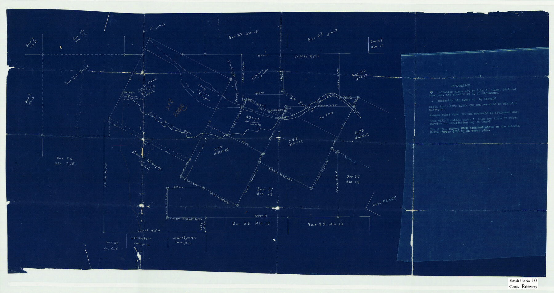
Reeves County Sketch File 10
Head of Toyah Creek, Reeves County, Texas
-
Map/Doc
12244
-
Collection
General Map Collection
-
People and Organizations
John G. Allen (Surveyor/Engineer)
E.A. Giraud (Surveyor/Engineer)
Steinmann (Surveyor/Engineer)
-
Counties
Reeves
-
Subjects
Surveying Sketch File
-
Height x Width
17.0 x 32.0 inches
43.2 x 81.3 cm
-
Medium
blueprint/diazo
-
Features
Toyah Creek
San Solomon Creek
Part of: General Map Collection
Brazoria County Working Sketch 29

Print $20.00
- Digital $50.00
Brazoria County Working Sketch 29
1971
Size 30.6 x 28.3 inches
Map/Doc 67514
Flight Mission No. DQN-3K, Frame 8, Calhoun County

Print $20.00
- Digital $50.00
Flight Mission No. DQN-3K, Frame 8, Calhoun County
1953
Size 18.5 x 22.1 inches
Map/Doc 84340
Morris County Rolled Sketch 1

Print $20.00
- Digital $50.00
Morris County Rolled Sketch 1
1942
Size 23.7 x 24.9 inches
Map/Doc 6835
Zavala County Sketch File 25

Print $4.00
- Digital $50.00
Zavala County Sketch File 25
1886
Size 14.5 x 8.8 inches
Map/Doc 41388
Polk County Sketch File 39

Print $24.00
- Digital $50.00
Polk County Sketch File 39
Size 8.3 x 13.3 inches
Map/Doc 34278
Flight Mission No. CRC-3R, Frame 211, Chambers County

Print $20.00
- Digital $50.00
Flight Mission No. CRC-3R, Frame 211, Chambers County
1956
Size 18.6 x 22.2 inches
Map/Doc 84866
Brewster County Working Sketch 85

Print $20.00
- Digital $50.00
Brewster County Working Sketch 85
1973
Size 43.2 x 34.0 inches
Map/Doc 67685
Flight Mission No. BRA-6M, Frame 153, Jefferson County

Print $20.00
- Digital $50.00
Flight Mission No. BRA-6M, Frame 153, Jefferson County
1953
Size 18.5 x 22.2 inches
Map/Doc 85454
Aransas Pass to Baffin Bay

Print $20.00
- Digital $50.00
Aransas Pass to Baffin Bay
1961
Size 42.1 x 35.4 inches
Map/Doc 73414
Upton County Rolled Sketch 53

Print $20.00
- Digital $50.00
Upton County Rolled Sketch 53
Size 26.9 x 30.8 inches
Map/Doc 8088
Flight Mission No. BRE-1P, Frame 128, Nueces County

Print $20.00
- Digital $50.00
Flight Mission No. BRE-1P, Frame 128, Nueces County
1956
Size 18.3 x 22.1 inches
Map/Doc 86694
Menard County Boundary File 2a

Print $80.00
- Digital $50.00
Menard County Boundary File 2a
Size 36.4 x 12.2 inches
Map/Doc 57065
You may also like
Morris County

Print $20.00
- Digital $50.00
Morris County
1906
Size 46.4 x 22.3 inches
Map/Doc 66943
Prison Property, Walker County

Print $20.00
- Digital $50.00
Prison Property, Walker County
Size 16.3 x 15.9 inches
Map/Doc 94280
Midland County, Texas

Print $20.00
- Digital $50.00
Midland County, Texas
1880
Size 20.8 x 17.7 inches
Map/Doc 437
Bee County Boundary File 2

Print $10.00
- Digital $50.00
Bee County Boundary File 2
Size 8.8 x 6.8 inches
Map/Doc 50435
A new and accurate map of North America (wherein the errors of all preceeding British, French and Dutch maps, respecting the rights of Great Britain, France & Spain, & the limits of each of His Majesty's provinces, are corrected)

Print $20.00
- Digital $50.00
A new and accurate map of North America (wherein the errors of all preceeding British, French and Dutch maps, respecting the rights of Great Britain, France & Spain, & the limits of each of His Majesty's provinces, are corrected)
1755
Size 18.3 x 22.1 inches
Map/Doc 97416
Flight Mission No. CUG-2P, Frame 27, Kleberg County

Print $20.00
- Digital $50.00
Flight Mission No. CUG-2P, Frame 27, Kleberg County
1956
Size 18.9 x 22.5 inches
Map/Doc 86192
Kent County Boundary File 8

Print $20.00
- Digital $50.00
Kent County Boundary File 8
Size 14.2 x 8.6 inches
Map/Doc 55873
Map of Kerr County Texas

Print $20.00
- Digital $50.00
Map of Kerr County Texas
1879
Size 20.3 x 28.3 inches
Map/Doc 3763
Wood County Sketch File 5a

Print $4.00
- Digital $50.00
Wood County Sketch File 5a
1857
Size 10.1 x 8.0 inches
Map/Doc 40639
McLennan County Working Sketch 6

Print $20.00
- Digital $50.00
McLennan County Working Sketch 6
1957
Size 26.7 x 24.8 inches
Map/Doc 70699
[North Line of Kent County/South Line of Dickens County]
![90937, [North Line of Kent County/South Line of Dickens County], Twichell Survey Records](https://historictexasmaps.com/wmedia_w700/maps/90937-1.tif.jpg)
Print $20.00
- Digital $50.00
[North Line of Kent County/South Line of Dickens County]
1892
Size 8.4 x 38.1 inches
Map/Doc 90937
Outer Continental Shelf Leasing Maps (Texas Offshore Operations)

Print $20.00
- Digital $50.00
Outer Continental Shelf Leasing Maps (Texas Offshore Operations)
Size 17.6 x 13.6 inches
Map/Doc 75850