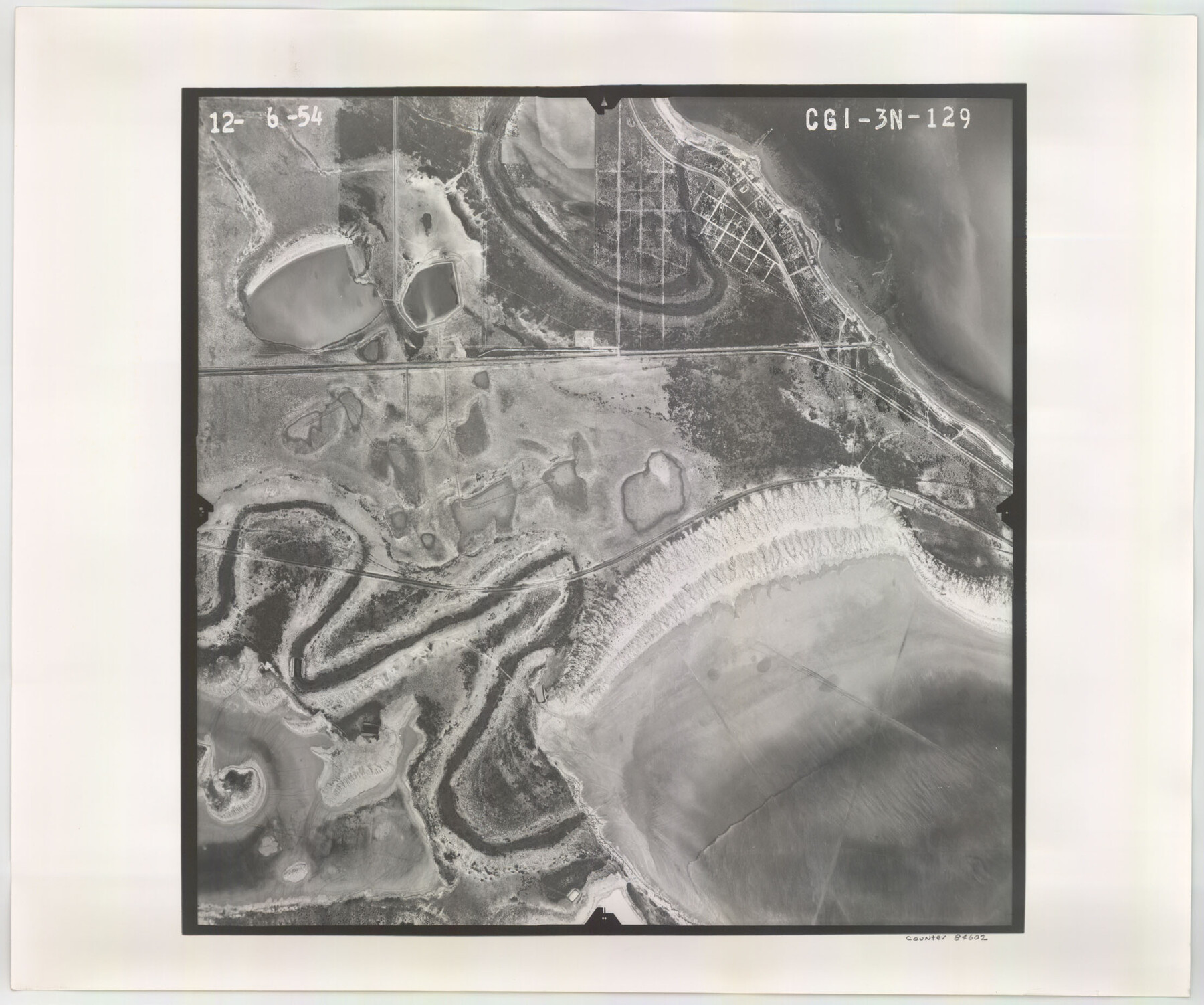
Flight Mission No. CGI-3N, Frame 129, Cameron County
CGI-3N-129
-
Map/Doc
84602
-
Collection
General Map Collection
-
Object Dates
1954/12/6 (Creation Date)
-
People and Organizations
U. S. Department of Agriculture (Publisher)
-
Counties
Cameron
-
Subjects
Aerial Photograph
-
Height x Width
18.5 x 22.2 inches
47.0 x 56.4 cm
-
Comments
Flown by Puckett Aerial Surveys, Inc. of Jackson, Mississippi.
Part of: General Map Collection
Presidio County Sketch File 103

Print $24.00
- Digital $50.00
Presidio County Sketch File 103
1949
Size 14.4 x 8.8 inches
Map/Doc 34795
Upshur County Sketch File 9

Print $4.00
- Digital $50.00
Upshur County Sketch File 9
1847
Size 8.4 x 10.3 inches
Map/Doc 38748
Concho County Sketch File 17

Print $20.00
- Digital $50.00
Concho County Sketch File 17
1896
Size 10.2 x 20.9 inches
Map/Doc 11152
Calhoun County Rolled Sketch 12

Print $40.00
- Digital $50.00
Calhoun County Rolled Sketch 12
1940
Size 30.2 x 54.8 inches
Map/Doc 43619
T. & G. Ry. Main Line, Texas, Right of Way Map, Center to Gary

Print $40.00
- Digital $50.00
T. & G. Ry. Main Line, Texas, Right of Way Map, Center to Gary
1917
Size 32.4 x 122.8 inches
Map/Doc 64570
Coast Chart No. 210 Aransas Pass and Corpus Christi Bay with the coast to latitude 27° 12' Texas

Print $20.00
- Digital $50.00
Coast Chart No. 210 Aransas Pass and Corpus Christi Bay with the coast to latitude 27° 12' Texas
1887
Size 27.6 x 18.2 inches
Map/Doc 72785
Sherman County Sketch File 7

Print $2.00
- Digital $50.00
Sherman County Sketch File 7
1993
Size 14.6 x 9.0 inches
Map/Doc 36725
Val Verde County Working Sketch 68

Print $20.00
- Digital $50.00
Val Verde County Working Sketch 68
1965
Size 37.3 x 44.2 inches
Map/Doc 72203
Galveston County NRC Article 33.136 Sketch 83

Print $52.00
- Digital $50.00
Galveston County NRC Article 33.136 Sketch 83
2016
Size 22.5 x 34.0 inches
Map/Doc 94968
Terrell County Sketch File 1

Print $78.00
- Digital $50.00
Terrell County Sketch File 1
1881
Size 9.1 x 8.8 inches
Map/Doc 37870
Stieler Map of 1879

Print $4.00
- Digital $50.00
Stieler Map of 1879
1879
Size 28.9 x 23.0 inches
Map/Doc 76057
Newton County Sketch File 22

Print $4.00
- Digital $50.00
Newton County Sketch File 22
1890
Size 14.2 x 8.7 inches
Map/Doc 32401
You may also like
Sutton County Working Sketch 53

Print $20.00
- Digital $50.00
Sutton County Working Sketch 53
1957
Size 36.1 x 37.5 inches
Map/Doc 62396
Flight Mission No. BRA-6M, Frame 85, Jefferson County

Print $20.00
- Digital $50.00
Flight Mission No. BRA-6M, Frame 85, Jefferson County
1953
Size 18.6 x 22.4 inches
Map/Doc 85429
Freestone County Rolled Sketch 7

Print $20.00
- Digital $50.00
Freestone County Rolled Sketch 7
1918
Size 41.4 x 36.9 inches
Map/Doc 8895
Wilson County Sketch File 11

Print $27.00
- Digital $50.00
Wilson County Sketch File 11
Size 19.5 x 23.6 inches
Map/Doc 40419
Flight Mission No. DQO-2K, Frame 83, Galveston County

Print $20.00
- Digital $50.00
Flight Mission No. DQO-2K, Frame 83, Galveston County
1952
Size 18.8 x 22.5 inches
Map/Doc 85010
Harris County Working Sketch 87

Print $20.00
- Digital $50.00
Harris County Working Sketch 87
1972
Size 34.1 x 31.0 inches
Map/Doc 65979
[State Capitol Lands]
![91650, [State Capitol Lands], Twichell Survey Records](https://historictexasmaps.com/wmedia_w700/maps/91650-1.tif.jpg)
Print $20.00
- Digital $50.00
[State Capitol Lands]
1902
Size 33.1 x 29.3 inches
Map/Doc 91650
Right of Way and Track Map, Texas & New Orleans R.R. Co. operated by the T. & N. O. R.R. Co., Dallas-Sabine Branch

Print $40.00
- Digital $50.00
Right of Way and Track Map, Texas & New Orleans R.R. Co. operated by the T. & N. O. R.R. Co., Dallas-Sabine Branch
1918
Size 24.9 x 56.9 inches
Map/Doc 64630
Travis County State Real Property Sketch 7

Print $20.00
- Digital $50.00
Travis County State Real Property Sketch 7
1985
Size 30.9 x 43.4 inches
Map/Doc 61699
[Plat showing traverse line run from I. R. Rock at southeast corner survey 58 northerly to the I. R. Rock corner at the northeast 60]
![91598, [Plat showing traverse line run from I. R. Rock at southeast corner survey 58 northerly to the I. R. Rock corner at the northeast 60], Twichell Survey Records](https://historictexasmaps.com/wmedia_w700/maps/91598-1.tif.jpg)
Print $20.00
- Digital $50.00
[Plat showing traverse line run from I. R. Rock at southeast corner survey 58 northerly to the I. R. Rock corner at the northeast 60]
1935
Size 21.7 x 18.0 inches
Map/Doc 91598
[G. & M. Block 5]
![91793, [G. & M. Block 5], Twichell Survey Records](https://historictexasmaps.com/wmedia_w700/maps/91793-1.tif.jpg)
Print $20.00
- Digital $50.00
[G. & M. Block 5]
Size 34.9 x 17.2 inches
Map/Doc 91793
Burleson County Working Sketch 5

Print $20.00
- Digital $50.00
Burleson County Working Sketch 5
1980
Size 34.8 x 27.6 inches
Map/Doc 67724