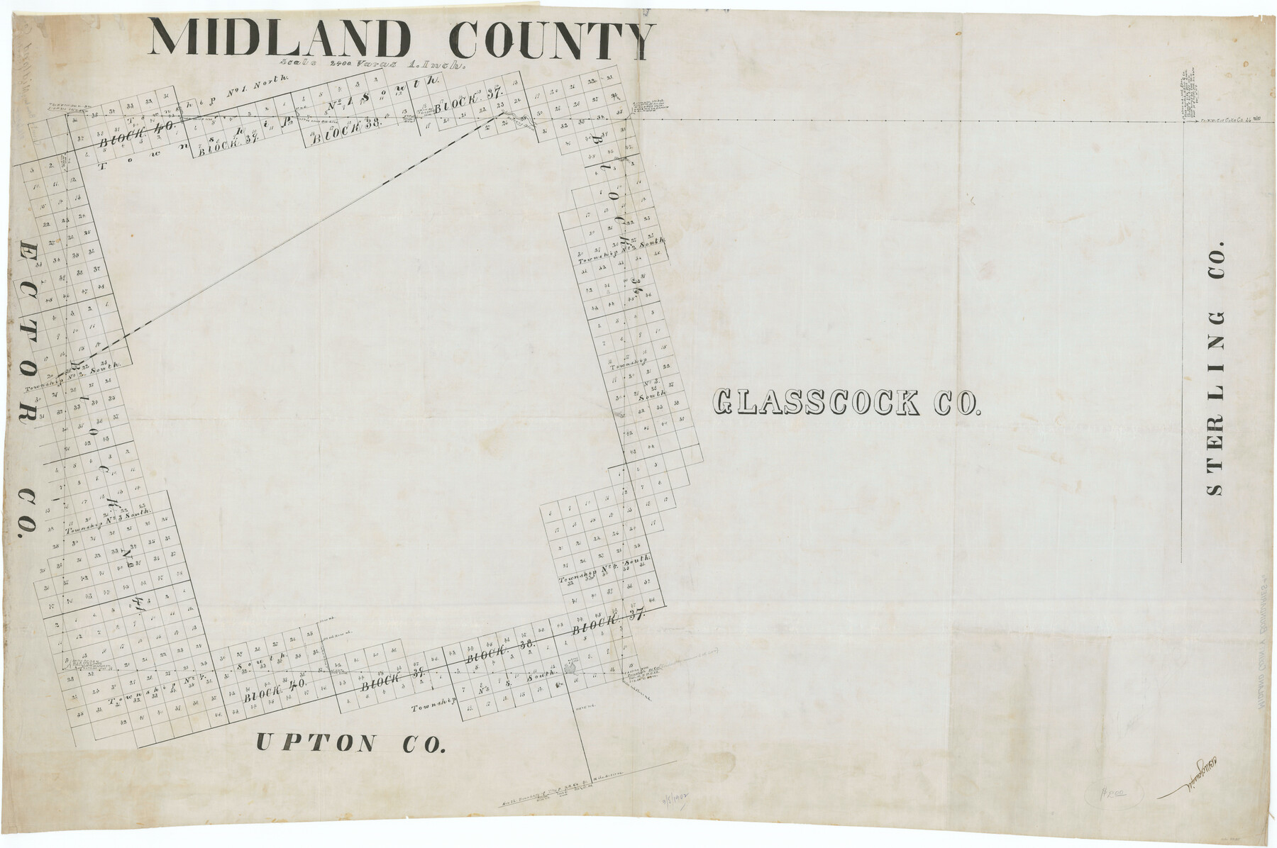
Midland County Boundary File 4a
Midland County Boundaries
-
Map/Doc
57185
-
Collection
General Map Collection
-
Counties
Midland
-
Subjects
County Boundaries
-
Height x Width
36.2 x 54.5 inches
91.9 x 138.4 cm
Part of: General Map Collection
Flight Mission No. CUG-3P, Frame 30, Kleberg County

Print $20.00
- Digital $50.00
Flight Mission No. CUG-3P, Frame 30, Kleberg County
1956
Size 18.5 x 22.2 inches
Map/Doc 86235
Runnels County Working Sketch 16

Print $20.00
- Digital $50.00
Runnels County Working Sketch 16
1950
Size 30.1 x 35.5 inches
Map/Doc 63612
Stonewall County Sketch File 6

Print $10.00
- Digital $50.00
Stonewall County Sketch File 6
1891
Size 14.0 x 8.7 inches
Map/Doc 37208
Flight Mission No. DAG-22K, Frame 84, Matagorda County

Print $20.00
- Digital $50.00
Flight Mission No. DAG-22K, Frame 84, Matagorda County
1953
Size 15.7 x 15.6 inches
Map/Doc 86468
[Map of Uvalde County]
![4108, [Map of Uvalde County], General Map Collection](https://historictexasmaps.com/wmedia_w700/maps/4108.tif.jpg)
Print $20.00
- Digital $50.00
[Map of Uvalde County]
1862
Size 27.7 x 26.7 inches
Map/Doc 4108
Southern Pacific Transportation Company Right of Way and Track Map - Main Line

Print $40.00
- Digital $50.00
Southern Pacific Transportation Company Right of Way and Track Map - Main Line
1918
Size 25.4 x 57.6 inches
Map/Doc 82858
Map of Crockett Co.

Print $20.00
- Digital $50.00
Map of Crockett Co.
1901
Size 31.7 x 42.4 inches
Map/Doc 1475
Flight Mission No. DCL-5C, Frame 69, Kenedy County

Print $20.00
- Digital $50.00
Flight Mission No. DCL-5C, Frame 69, Kenedy County
1943
Size 18.5 x 22.3 inches
Map/Doc 85852
Tarrant County State Real Property Sketch 4

Print $20.00
- Digital $50.00
Tarrant County State Real Property Sketch 4
2018
Size 47.8 x 35.9 inches
Map/Doc 95403
Dallam County Working Sketch 2a

Print $20.00
- Digital $50.00
Dallam County Working Sketch 2a
1886
Size 17.9 x 15.9 inches
Map/Doc 78213
McMullen County Sketch File 27

Print $4.00
- Digital $50.00
McMullen County Sketch File 27
Size 6.2 x 8.0 inches
Map/Doc 31388
Webb County Rolled Sketch 33

Print $20.00
- Digital $50.00
Webb County Rolled Sketch 33
1939
Size 22.8 x 23.9 inches
Map/Doc 8189
You may also like
Dallas County Working Sketch 18

Print $20.00
- Digital $50.00
Dallas County Working Sketch 18
1989
Size 39.9 x 37.4 inches
Map/Doc 68584
Pecos County Working Sketch 108

Print $40.00
- Digital $50.00
Pecos County Working Sketch 108
1971
Size 43.5 x 56.3 inches
Map/Doc 71581
Flight Mission No. CGI-3N, Frame 111, Cameron County

Print $20.00
- Digital $50.00
Flight Mission No. CGI-3N, Frame 111, Cameron County
1954
Size 18.6 x 22.2 inches
Map/Doc 84591
Right of Way & Track Map, St. Louis, Brownsville & Mexico Ry. operated by St. Louis, Brownsville & Mexico Ry. Co.

Print $40.00
- Digital $50.00
Right of Way & Track Map, St. Louis, Brownsville & Mexico Ry. operated by St. Louis, Brownsville & Mexico Ry. Co.
1919
Size 25.8 x 56.9 inches
Map/Doc 64620
Bandera County Sketch File 20

Print $40.00
- Digital $50.00
Bandera County Sketch File 20
Size 18.7 x 13.6 inches
Map/Doc 10894
[L.C. Ferguson Survey, Irion County]
![537, [L.C. Ferguson Survey, Irion County], Maddox Collection](https://historictexasmaps.com/wmedia_w700/maps/0537.tif.jpg)
Print $3.00
- Digital $50.00
[L.C. Ferguson Survey, Irion County]
Size 11.8 x 12.3 inches
Map/Doc 537
Mason County Sketch File 14

Print $20.00
- Digital $50.00
Mason County Sketch File 14
1884
Size 15.2 x 16.4 inches
Map/Doc 12035
Flight Mission No. CUG-3P, Frame 94, Kleberg County

Print $20.00
- Digital $50.00
Flight Mission No. CUG-3P, Frame 94, Kleberg County
1956
Size 18.4 x 22.2 inches
Map/Doc 86264
Fractional Township No. 9 South Range No. 24 East of the Indian Meridian, Indian Territory

Print $20.00
- Digital $50.00
Fractional Township No. 9 South Range No. 24 East of the Indian Meridian, Indian Territory
1898
Size 19.2 x 24.3 inches
Map/Doc 75241
"Pancho Villa Meets Genl. John J. Pershing"

Print $20.00
"Pancho Villa Meets Genl. John J. Pershing"
Size 16.0 x 20.0 inches
Map/Doc 94146
Crane County Working Sketch 31

Print $20.00
- Digital $50.00
Crane County Working Sketch 31
1982
Size 34.3 x 37.7 inches
Map/Doc 68308
Map of Parts of Dawson and Borden Counties

Print $20.00
- Digital $50.00
Map of Parts of Dawson and Borden Counties
Size 23.0 x 17.7 inches
Map/Doc 90627