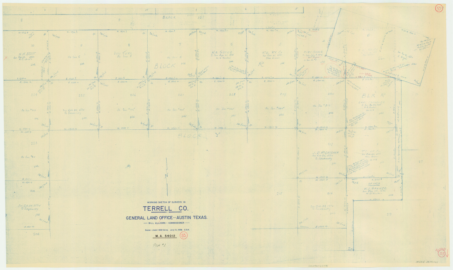
Terrell County Working Sketch 55
-
Map/Doc
62148
-
Collection
General Map Collection
-
Object Dates
7/13/1959 (Creation Date)
-
People and Organizations
Otto G. Kurio (Draftsman)
-
Counties
Terrell
-
Subjects
Surveying Working Sketch
-
Height x Width
25.9 x 43.4 inches
65.8 x 110.2 cm
-
Scale
1" = 400 varas
Part of: General Map Collection
Refugio County Boundary File 6a

Print $20.00
- Digital $50.00
Refugio County Boundary File 6a
Size 14.4 x 9.0 inches
Map/Doc 58262
Flight Mission No. CUG-2P, Frame 12, Kleberg County

Print $20.00
- Digital $50.00
Flight Mission No. CUG-2P, Frame 12, Kleberg County
1956
Size 18.6 x 22.1 inches
Map/Doc 86184
Lamar County Sketch File 11

Print $24.00
- Digital $50.00
Lamar County Sketch File 11
1934
Size 11.5 x 7.2 inches
Map/Doc 29295
Leon County Working Sketch 29

Print $20.00
- Digital $50.00
Leon County Working Sketch 29
1971
Size 25.8 x 33.1 inches
Map/Doc 70428

Angelina County Working Sketch 25

Print $20.00
- Digital $50.00
Angelina County Working Sketch 25
1954
Size 25.0 x 17.5 inches
Map/Doc 67107
Val Verde County Rolled Sketch 77

Print $20.00
- Digital $50.00
Val Verde County Rolled Sketch 77
1981
Size 36.2 x 37.4 inches
Map/Doc 10087
Flight Mission No. DQO-11K, Frame 16, Galveston County

Print $20.00
- Digital $50.00
Flight Mission No. DQO-11K, Frame 16, Galveston County
1952
Size 18.8 x 22.5 inches
Map/Doc 85209
Bosque County Sketch File 25

Print $4.00
- Digital $50.00
Bosque County Sketch File 25
Size 12.7 x 8.1 inches
Map/Doc 14809
G. C. & S. F. Ry., San Saba Branch, Right of Way Map, Brady to Melvin

Print $40.00
- Digital $50.00
G. C. & S. F. Ry., San Saba Branch, Right of Way Map, Brady to Melvin
1916
Size 38.2 x 122.0 inches
Map/Doc 61420
Harris County Rolled Sketch 71

Print $20.00
- Digital $50.00
Harris County Rolled Sketch 71
1944
Size 19.3 x 26.7 inches
Map/Doc 6111
Flight Mission No. DQN-2K, Frame 120, Calhoun County

Print $20.00
- Digital $50.00
Flight Mission No. DQN-2K, Frame 120, Calhoun County
1953
Size 18.4 x 16.1 inches
Map/Doc 84296
You may also like
[Sketch of Part of B. S. & F. Block 9]
![93094, [Sketch of Part of B. S. & F. Block 9], Twichell Survey Records](https://historictexasmaps.com/wmedia_w700/maps/93094-1.tif.jpg)
Print $2.00
- Digital $50.00
[Sketch of Part of B. S. & F. Block 9]
Size 7.9 x 7.9 inches
Map/Doc 93094
Pecos County Sketch File 65

Print $6.00
- Digital $50.00
Pecos County Sketch File 65
1919
Size 16.7 x 11.9 inches
Map/Doc 33824
Edwards County Working Sketch 125

Print $20.00
- Digital $50.00
Edwards County Working Sketch 125
1977
Size 22.3 x 23.5 inches
Map/Doc 69001
Lamar County Sketch File 11
Print $24.00
- Digital $50.00
Lamar County Sketch File 11
1934
Size 11.5 x 7.2 inches
Map/Doc 29295
Hudspeth County Rolled Sketch 76

Print $40.00
- Digital $50.00
Hudspeth County Rolled Sketch 76
1992
Size 49.5 x 37.7 inches
Map/Doc 9239
Brooks County

Print $20.00
- Digital $50.00
Brooks County
1955
Size 42.6 x 34.6 inches
Map/Doc 95440
Morris County Rolled Sketch 2A

Print $20.00
- Digital $50.00
Morris County Rolled Sketch 2A
Size 24.0 x 18.9 inches
Map/Doc 10244
Flight Mission No. DIX-3P, Frame 137, Aransas County

Print $20.00
- Digital $50.00
Flight Mission No. DIX-3P, Frame 137, Aransas County
1956
Size 17.8 x 18.4 inches
Map/Doc 83767
Coast Chart No. 211 - Padre I. and Laguna Madre, Lat. 27° 12' to Lat. 26° 33', Texas

Print $20.00
- Digital $50.00
Coast Chart No. 211 - Padre I. and Laguna Madre, Lat. 27° 12' to Lat. 26° 33', Texas
1890
Size 30.5 x 24.1 inches
Map/Doc 73502
Hansford County Sketch File 2

Print $13.00
- Digital $50.00
Hansford County Sketch File 2
1901
Size 76.7 x 25.5 inches
Map/Doc 10476
Lipscomb County Working Sketch 3

Print $20.00
- Digital $50.00
Lipscomb County Working Sketch 3
1965
Size 27.8 x 46.1 inches
Map/Doc 70579
Williamson County State Real Property Sketch 1

Print $20.00
- Digital $50.00
Williamson County State Real Property Sketch 1
1985
Size 46.1 x 36.2 inches
Map/Doc 61692