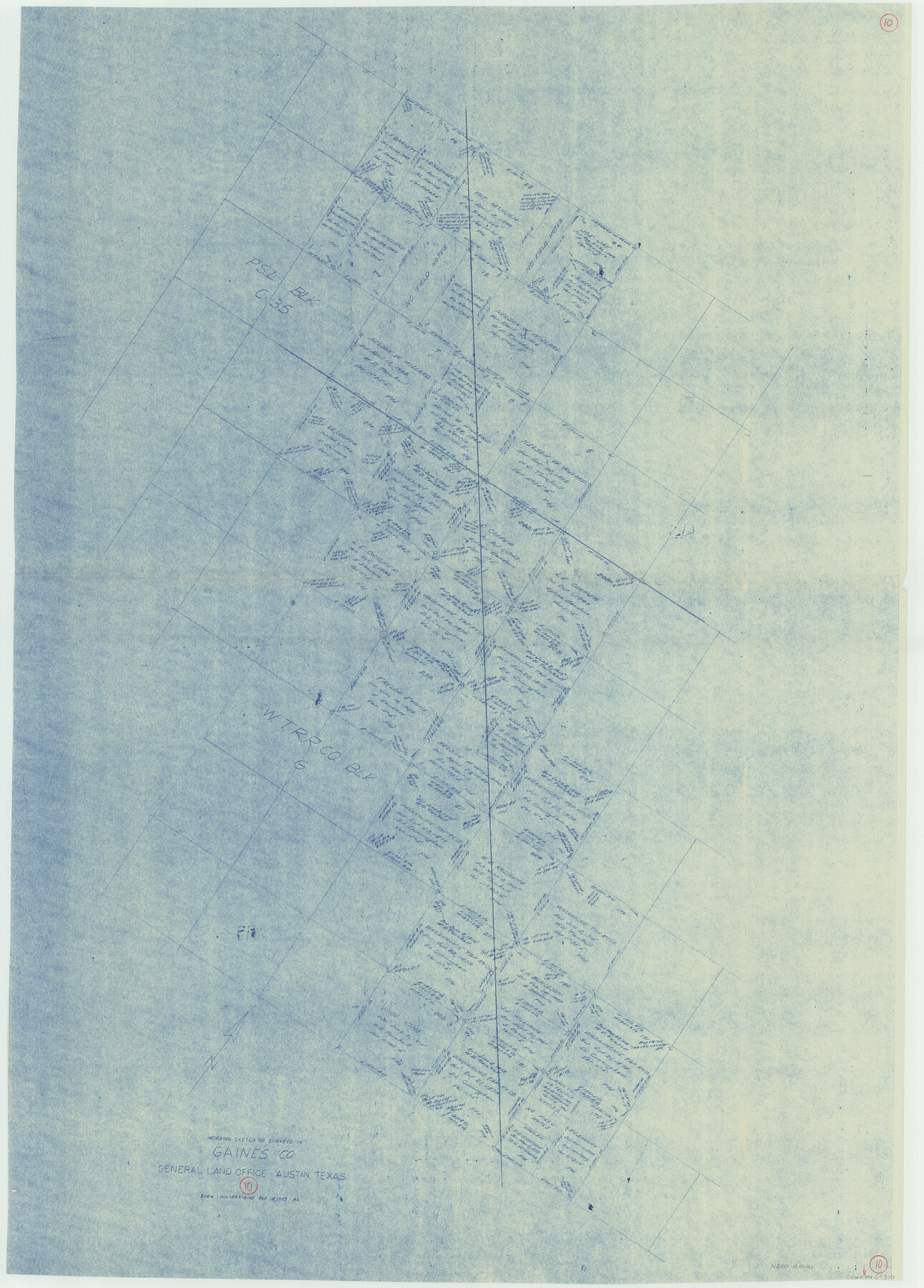
Gaines County Working Sketch 10
-
Map/Doc
69310
-
Collection
General Map Collection
-
Object Dates
2/18/1953 (Creation Date)
-
Counties
Gaines
-
Subjects
Surveying Working Sketch
-
Height x Width
53.0 x 38.0 inches
134.6 x 96.5 cm
-
Scale
1" = 500 varas
Part of: General Map Collection
Erath County Working Sketch 36

Print $20.00
- Digital $50.00
Erath County Working Sketch 36
1973
Size 33.5 x 30.4 inches
Map/Doc 69117
Pecos County Rolled Sketch 108

Print $20.00
- Digital $50.00
Pecos County Rolled Sketch 108
1940
Size 39.7 x 30.7 inches
Map/Doc 7254
Flight Mission No. BQR-20K, Frame 11, Brazoria County

Print $20.00
- Digital $50.00
Flight Mission No. BQR-20K, Frame 11, Brazoria County
1952
Size 18.7 x 22.3 inches
Map/Doc 84113

Floyd County Working Sketch 3

Print $20.00
- Digital $50.00
Floyd County Working Sketch 3
1948
Size 27.4 x 22.8 inches
Map/Doc 69182
Maverick County Working Sketch 22

Print $20.00
- Digital $50.00
Maverick County Working Sketch 22
1978
Size 44.0 x 34.9 inches
Map/Doc 70914
Wharton County Sketch File 3a

Print $4.00
- Digital $50.00
Wharton County Sketch File 3a
1875
Size 6.8 x 4.6 inches
Map/Doc 39917
Map of the country between the frontiers of Arkansas and New Mexico embracing the section explored in 1849, 50, 51, & 52

Print $40.00
- Digital $50.00
Map of the country between the frontiers of Arkansas and New Mexico embracing the section explored in 1849, 50, 51, & 52
Size 29.9 x 62.3 inches
Map/Doc 95837
Pecos County Working Sketch 55

Print $20.00
- Digital $50.00
Pecos County Working Sketch 55
1948
Size 38.4 x 27.7 inches
Map/Doc 71527
Frio County Working Sketch 1

Print $20.00
- Digital $50.00
Frio County Working Sketch 1
1906
Size 19.0 x 23.2 inches
Map/Doc 69275
[Surveys along the Leon River]
![20, [Surveys along the Leon River], General Map Collection](https://historictexasmaps.com/wmedia_w700/maps/20-1.tif.jpg)
Print $20.00
- Digital $50.00
[Surveys along the Leon River]
1840
Size 20.3 x 6.6 inches
Map/Doc 20
Calhoun County Working Sketch 11

Print $20.00
- Digital $50.00
Calhoun County Working Sketch 11
1952
Size 43.1 x 34.9 inches
Map/Doc 67827
You may also like
Red River County Working Sketch 74

Print $20.00
- Digital $50.00
Red River County Working Sketch 74
1980
Size 24.2 x 22.8 inches
Map/Doc 72057
Childress County Sketch File 17

Print $8.00
- Digital $50.00
Childress County Sketch File 17
Size 13.0 x 8.2 inches
Map/Doc 18286
Map of the Location Survey of the Hearne & Brazos Valley Railroad

Print $40.00
- Digital $50.00
Map of the Location Survey of the Hearne & Brazos Valley Railroad
1891
Size 40.7 x 122.9 inches
Map/Doc 64347
Hale County Working Sketch 1

Print $20.00
- Digital $50.00
Hale County Working Sketch 1
1910
Size 34.5 x 22.1 inches
Map/Doc 63321
Castro County Sketch File 5

Print $20.00
- Digital $50.00
Castro County Sketch File 5
Size 37.6 x 25.3 inches
Map/Doc 11058
Map of lands owned by R.E. Montgomery in Martin and Andrews County, Texas

Print $20.00
- Digital $50.00
Map of lands owned by R.E. Montgomery in Martin and Andrews County, Texas
Size 20.0 x 24.5 inches
Map/Doc 75764
Hardeman County Rolled Sketch 14

Print $40.00
- Digital $50.00
Hardeman County Rolled Sketch 14
1884
Size 23.9 x 59.2 inches
Map/Doc 9099

Map of McMullen County

Print $20.00
- Digital $50.00
Map of McMullen County
1887
Size 26.8 x 18.6 inches
Map/Doc 3866
A New Map of Texas with the Contiguous American & Mexican States

Print $20.00
A New Map of Texas with the Contiguous American & Mexican States
1835
Size 13.5 x 16.1 inches
Map/Doc 76185
Galveston County NRC Article 33.136 Sketch 13

Print $20.00
- Digital $50.00
Galveston County NRC Article 33.136 Sketch 13
2002
Size 17.9 x 22.4 inches
Map/Doc 77044
Right of Way and Track Map, Galveston, Harrisburg & San Antonio Ry. operated by the T. & N. O. R.R. Co., Victoria Division, Rosenberg to Beeville

Print $40.00
- Digital $50.00
Right of Way and Track Map, Galveston, Harrisburg & San Antonio Ry. operated by the T. & N. O. R.R. Co., Victoria Division, Rosenberg to Beeville
Size 24.3 x 55.8 inches
Map/Doc 76162