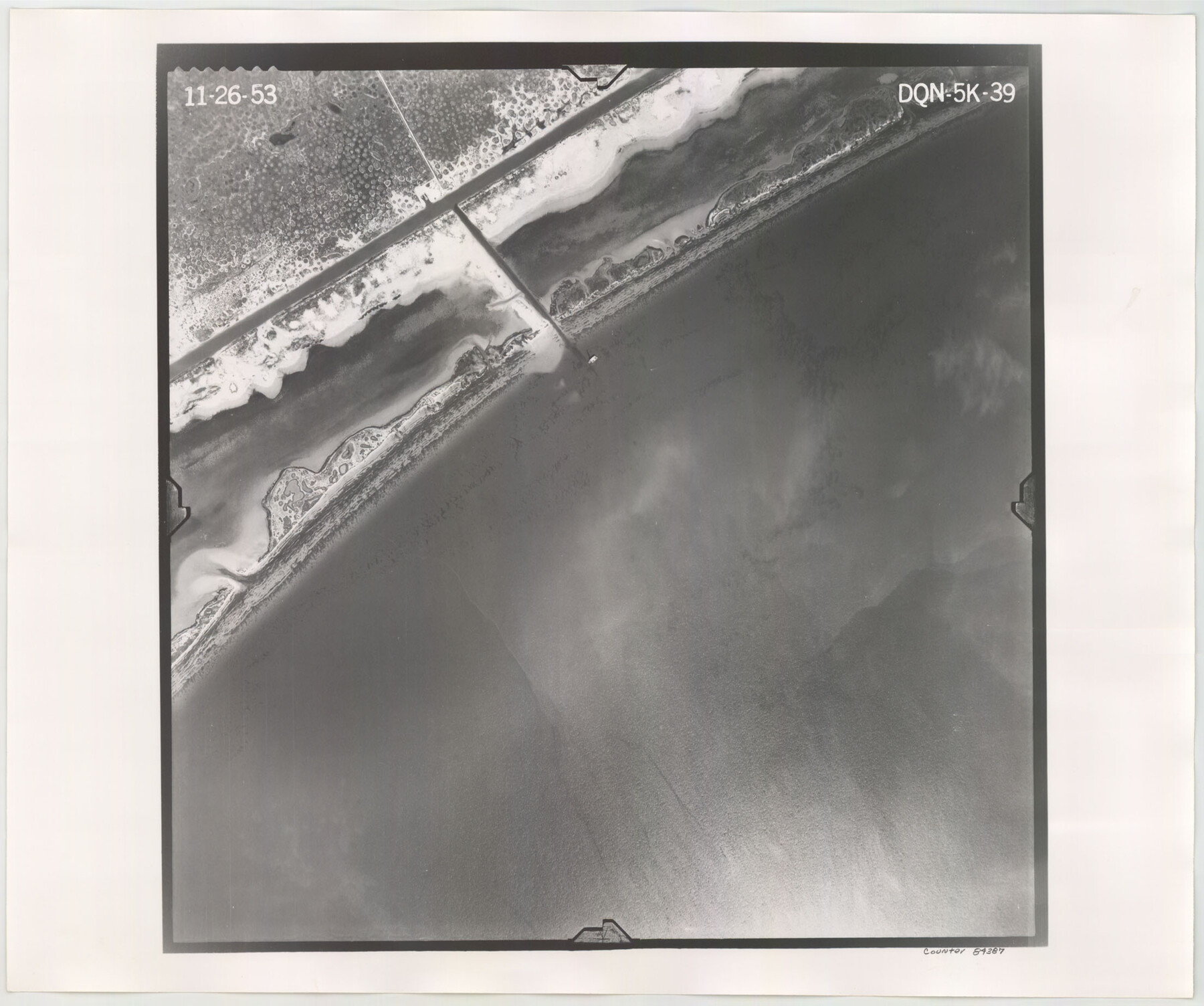
Flight Mission No. DQN-5K, Frame 39, Calhoun County
DQN-5K-39
-
Map/Doc
84387
-
Collection
General Map Collection
-
Object Dates
1953/11/26 (Creation Date)
-
People and Organizations
U. S. Department of Agriculture (Publisher)
-
Counties
Calhoun
-
Subjects
Aerial Photograph
-
Height x Width
18.5 x 22.1 inches
47.0 x 56.1 cm
-
Comments
Flown by Aero Exploration Company of Tulsa, Oklahoma.
Part of: General Map Collection
[Sketch for Mineral Application 26501 - Sabine River, T. A. Oldhausen]
![2833, [Sketch for Mineral Application 26501 - Sabine River, T. A. Oldhausen], General Map Collection](https://historictexasmaps.com/wmedia_w700/maps/2833.tif.jpg)
Print $20.00
- Digital $50.00
[Sketch for Mineral Application 26501 - Sabine River, T. A. Oldhausen]
1931
Size 24.4 x 36.3 inches
Map/Doc 2833
Flight Mission No. DQO-1K, Frame 146, Galveston County

Print $20.00
- Digital $50.00
Flight Mission No. DQO-1K, Frame 146, Galveston County
1952
Size 18.9 x 22.5 inches
Map/Doc 84999
Cottle County Working Sketch 2

Print $3.00
- Digital $50.00
Cottle County Working Sketch 2
1902
Size 9.9 x 13.2 inches
Map/Doc 68312
Montgomery County Working Sketch 33

Print $20.00
- Digital $50.00
Montgomery County Working Sketch 33
1950
Size 28.8 x 28.2 inches
Map/Doc 71140
Williamson County

Print $20.00
- Digital $50.00
Williamson County
1872
Size 18.4 x 28.2 inches
Map/Doc 4151
Houston County Sketch File 38

Print $8.00
- Digital $50.00
Houston County Sketch File 38
Size 12.8 x 8.3 inches
Map/Doc 26821
Bell County Working Sketch Graphic Index

Print $40.00
- Digital $50.00
Bell County Working Sketch Graphic Index
1945
Size 42.6 x 52.8 inches
Map/Doc 76465
Wilson County Sketch File 7

Print $42.00
- Digital $50.00
Wilson County Sketch File 7
1885
Size 10.7 x 8.5 inches
Map/Doc 40410
Hood County Sketch File 23a

Print $20.00
- Digital $50.00
Hood County Sketch File 23a
1887
Size 17.2 x 16.5 inches
Map/Doc 11781
Cooke County Rolled Sketch 4

Print $20.00
- Digital $50.00
Cooke County Rolled Sketch 4
Size 18.1 x 23.1 inches
Map/Doc 5562
Map of Freeport, Brazoria County, Texas

Print $20.00
- Digital $50.00
Map of Freeport, Brazoria County, Texas
Size 27.0 x 39.1 inches
Map/Doc 7689
Sherman County Sketch File 2

Print $20.00
- Digital $50.00
Sherman County Sketch File 2
Size 19.5 x 36.3 inches
Map/Doc 12323
You may also like
Parker County Sketch File 30

Print $4.00
- Digital $50.00
Parker County Sketch File 30
Size 6.4 x 7.0 inches
Map/Doc 33570
Flight Mission No. BRE-1P, Frame 118, Nueces County

Print $20.00
- Digital $50.00
Flight Mission No. BRE-1P, Frame 118, Nueces County
1956
Size 17.8 x 21.2 inches
Map/Doc 86684
Gregg County Working Sketch 2

Print $20.00
- Digital $50.00
Gregg County Working Sketch 2
1931
Size 16.8 x 13.6 inches
Map/Doc 63268
Map of Encinal County

Print $20.00
- Digital $50.00
Map of Encinal County
1878
Size 32.8 x 22.7 inches
Map/Doc 3514
Map of Caldwell County, Land District since August 1st. 1859; Originally the part north, east of the line designated Bastrop - the balance, Gonzales Land District

Print $20.00
- Digital $50.00
Map of Caldwell County, Land District since August 1st. 1859; Originally the part north, east of the line designated Bastrop - the balance, Gonzales Land District
1861
Size 19.9 x 23.0 inches
Map/Doc 3355
San Jacinto County Working Sketch 45

Print $20.00
- Digital $50.00
San Jacinto County Working Sketch 45
1986
Size 41.0 x 46.7 inches
Map/Doc 63759
Sterling County Rolled Sketch 8

Print $20.00
- Digital $50.00
Sterling County Rolled Sketch 8
1884
Size 27.9 x 31.9 inches
Map/Doc 7844
[Sketch for Mineral Application 35811 - Liberty County, John Mecom]
![65620, [Sketch for Mineral Application 35811 - Liberty County, John Mecom], General Map Collection](https://historictexasmaps.com/wmedia_w700/maps/65620.tif.jpg)
Print $4.00
- Digital $50.00
[Sketch for Mineral Application 35811 - Liberty County, John Mecom]
1941
Size 24.8 x 19.7 inches
Map/Doc 65620
Palo Pinto County Rolled Sketch 11

Print $20.00
- Digital $50.00
Palo Pinto County Rolled Sketch 11
1976
Size 20.5 x 19.9 inches
Map/Doc 7191
Montgomery County Working Sketch 47

Print $20.00
- Digital $50.00
Montgomery County Working Sketch 47
1958
Size 25.5 x 18.8 inches
Map/Doc 71154
Cass County Rolled Sketch OPD

Print $20.00
- Digital $50.00
Cass County Rolled Sketch OPD
1936
Size 29.6 x 24.9 inches
Map/Doc 5415
Brazoria County Sketch File 55

Print $80.00
- Digital $50.00
Brazoria County Sketch File 55
1899
Size 14.9 x 55.0 inches
Map/Doc 10327