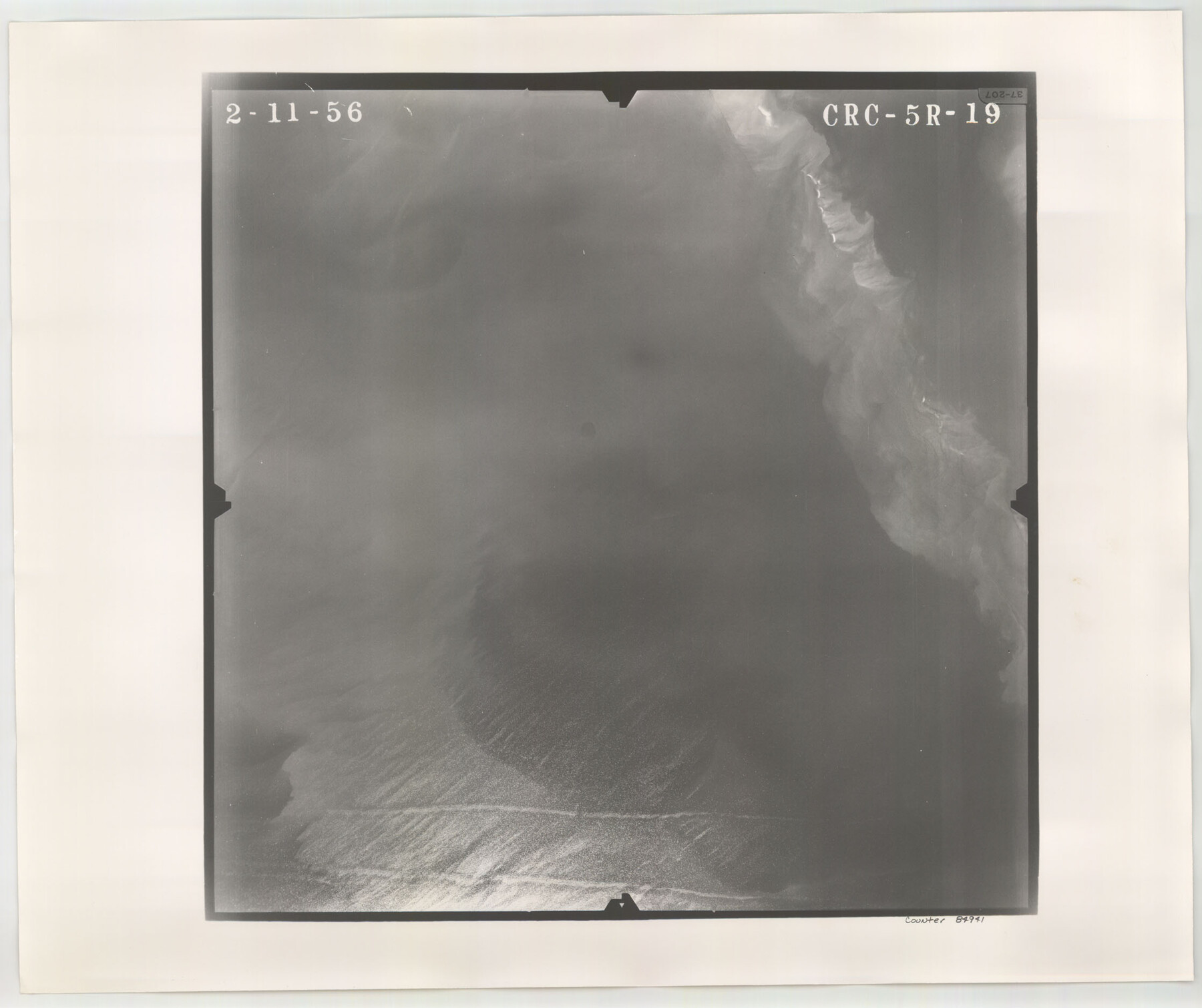
Flight Mission No. CRC-5R, Frame 19, Chambers County
CRC-5R-19
-
Map/Doc
84941
-
Collection
General Map Collection
-
Object Dates
1956/2/11 (Creation Date)
-
People and Organizations
U. S. Department of Agriculture (Publisher)
-
Counties
Chambers
-
Subjects
Aerial Photograph
-
Height x Width
18.8 x 22.4 inches
47.8 x 56.9 cm
-
Comments
Flown by Jack Ammann Photogrammetric Engineers, Inc. of San Antonio, Texas.
Part of: General Map Collection
Frio County Rolled Sketch 10

Print $20.00
- Digital $50.00
Frio County Rolled Sketch 10
1945
Size 34.0 x 35.7 inches
Map/Doc 8902
Schleicher County Sketch File 17

Print $20.00
- Digital $50.00
Schleicher County Sketch File 17
Size 23.4 x 17.8 inches
Map/Doc 12299
Crockett County Sketch File 6

Print $20.00
- Digital $50.00
Crockett County Sketch File 6
1877
Size 22.2 x 17.2 inches
Map/Doc 3457
North Sulphur River, Sims Crossing Sheet

Print $20.00
- Digital $50.00
North Sulphur River, Sims Crossing Sheet
1924
Size 12.4 x 25.1 inches
Map/Doc 78335
Routes to HemisFair '68 : World's Fair, San Antonio, Texas, April 6 through Oct. 6, 1968 [Recto]
![94168, Hemisfair Gulf Tourgide Map [Recto], General Map Collection](https://historictexasmaps.com/wmedia_w700/maps/94168.tif.jpg)
Routes to HemisFair '68 : World's Fair, San Antonio, Texas, April 6 through Oct. 6, 1968 [Recto]
Size 18.2 x 24.2 inches
Map/Doc 94168
Uvalde County Sketch File 29

Print $8.00
- Digital $50.00
Uvalde County Sketch File 29
1873
Size 13.0 x 8.3 inches
Map/Doc 39028
Mitchell County Sketch File 14

Print $20.00
- Digital $50.00
Mitchell County Sketch File 14
1930
Size 17.5 x 20.5 inches
Map/Doc 12101

Wichita County Sketch File 12a

Print $10.00
- Digital $50.00
Wichita County Sketch File 12a
1881
Size 14.2 x 8.6 inches
Map/Doc 40077
Duval County Working Sketch 40

Print $20.00
- Digital $50.00
Duval County Working Sketch 40
1960
Size 19.5 x 16.6 inches
Map/Doc 68764
Map of the Hearne and Brazos Valley Railroad from Mumford to Moseley's Ferry

Print $40.00
- Digital $50.00
Map of the Hearne and Brazos Valley Railroad from Mumford to Moseley's Ferry
1892
Size 20.0 x 56.8 inches
Map/Doc 64400
Dickens County

Print $20.00
- Digital $50.00
Dickens County
1891
Size 25.7 x 20.6 inches
Map/Doc 3488
You may also like
Matagorda County Rolled Sketch 15

Print $20.00
- Digital $50.00
Matagorda County Rolled Sketch 15
Size 24.5 x 14.9 inches
Map/Doc 6682
Coke County Working Sketch 22

Print $20.00
- Digital $50.00
Coke County Working Sketch 22
1949
Size 21.7 x 27.7 inches
Map/Doc 68059
[Surveys along the Little River]
![76048, [Surveys along the Little River], General Map Collection](https://historictexasmaps.com/wmedia_w700/maps/76048.tif.jpg)
Print $2.00
- Digital $50.00
[Surveys along the Little River]
1846
Size 10.6 x 7.8 inches
Map/Doc 76048
Galveston County Sketch File 5

Print $4.00
- Digital $50.00
Galveston County Sketch File 5
1848
Size 8.6 x 9.0 inches
Map/Doc 23358
Map of Red River County

Print $20.00
- Digital $50.00
Map of Red River County
1856
Size 22.2 x 18.4 inches
Map/Doc 3981
Bell County Sketch File 30

Print $4.00
- Digital $50.00
Bell County Sketch File 30
1876
Size 10.1 x 8.0 inches
Map/Doc 14443
Rusk County Sketch File X

Print $20.00
Rusk County Sketch File X
1844
Size 18.3 x 22.4 inches
Map/Doc 12279
Coast of Texas from head of East Bay Galveston Harbor to Sabine Pass

Print $40.00
- Digital $50.00
Coast of Texas from head of East Bay Galveston Harbor to Sabine Pass
1882
Size 32.6 x 54.1 inches
Map/Doc 69838
F. W. & D. C. Ry. Co. Alignment and Right of Way Map, Clay County

Print $20.00
- Digital $50.00
F. W. & D. C. Ry. Co. Alignment and Right of Way Map, Clay County
1927
Size 11.8 x 18.7 inches
Map/Doc 64744
G. P. Co. Survey of A. C. Daws Tr. Lease No. 6453

Print $20.00
- Digital $50.00
G. P. Co. Survey of A. C. Daws Tr. Lease No. 6453
1920
Size 18.9 x 27.9 inches
Map/Doc 92022
Cochran County Sketch File 2

Print $22.00
- Digital $50.00
Cochran County Sketch File 2
1907
Size 4.4 x 13.6 inches
Map/Doc 18539
Flight Mission No. CUG-1P, Frame 106, Kleberg County

Print $20.00
- Digital $50.00
Flight Mission No. CUG-1P, Frame 106, Kleberg County
1956
Size 18.8 x 22.3 inches
Map/Doc 86156