Texas, Oregon and California [Cover and accompaniment]
-
Map/Doc
93873
-
Collection
Holcomb Digital Map Collection
-
Object Dates
1846 (Creation Date)
-
People and Organizations
S. Augustus Mitchell (Publisher)
-
Subjects
New Southwest State of Texas
-
Height x Width
5.4 x 3.4 inches
13.7 x 8.6 cm
-
Comments
See 93872 for map that accompanied this booklet. Courtesy of Frank and Carol Holcomb.
Part of: Holcomb Digital Map Collection
The History of Texas; or, the Emigrants, Farmer's, and Politician's Guide to the Character, Climate, Soil and Productions of that Country; geographically arranged from personal observation and experience.

Print $692.00
- Digital $50.00
The History of Texas; or, the Emigrants, Farmer's, and Politician's Guide to the Character, Climate, Soil and Productions of that Country; geographically arranged from personal observation and experience.
1836
Size 8.1 x 5.3 inches
Map/Doc 93856
Il Disegno del discoperto della nova Franza, il quale se havuto ultimamente dalla novissima navigatione dè Francesi in quel luogo


Print $20.00
- Digital $50.00
Il Disegno del discoperto della nova Franza, il quale se havuto ultimamente dalla novissima navigatione dè Francesi in quel luogo
1566
Size 12.6 x 18.6 inches
Map/Doc 93804
America sive novvs orbis respectv evropaeorvm inferior globi terrestris pars 1596


Print $20.00
- Digital $50.00
America sive novvs orbis respectv evropaeorvm inferior globi terrestris pars 1596
1596
Size 14.7 x 18.1 inches
Map/Doc 93809
Perry and Spaulding's American Republic and Railroad Map of the United States and of the Dominion of Canada

Print $40.00
- Digital $50.00
Perry and Spaulding's American Republic and Railroad Map of the United States and of the Dominion of Canada
1874
Size 40.5 x 55.7 inches
Map/Doc 93913
Map of Oceanica designed to accompany Smith's Geography for Schools


Print $20.00
- Digital $50.00
Map of Oceanica designed to accompany Smith's Geography for Schools
1850
Size 9.7 x 12.1 inches
Map/Doc 93898
A New Map of Texas, Oregon and California with the regions adjoining, compiled from the most recent authorities


Print $20.00
- Digital $50.00
A New Map of Texas, Oregon and California with the regions adjoining, compiled from the most recent authorities
1846
Size 23.2 x 21.2 inches
Map/Doc 93872
Texas (verso)

Print $20.00
- Digital $50.00
Texas (verso)
1833
Size 19.1 x 22.8 inches
Map/Doc 93837
The North Part of America


Print $20.00
- Digital $50.00
The North Part of America
1625
Size 13.1 x 14.8 inches
Map/Doc 93815
Texas Nach den besten Quellen


Print $20.00
- Digital $50.00
Texas Nach den besten Quellen
1846
Size 15.4 x 18.7 inches
Map/Doc 93874
North America
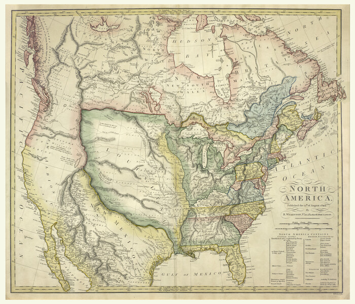

Print $20.00
- Digital $50.00
North America
1823
Size 21.9 x 25.6 inches
Map/Doc 93842
Map of the United States and Canada designed to accompany Smith's Geography for Schools
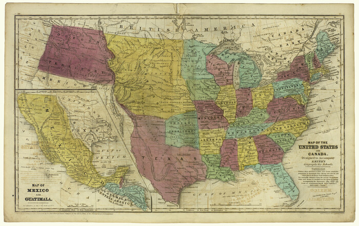

Print $20.00
- Digital $50.00
Map of the United States and Canada designed to accompany Smith's Geography for Schools
1850
Size 12.1 x 19.2 inches
Map/Doc 93884
You may also like
Maps of Gulf Intracoastal Waterway, Texas - Sabine River to the Rio Grande and connecting waterways including ship channels


Print $20.00
- Digital $50.00
Maps of Gulf Intracoastal Waterway, Texas - Sabine River to the Rio Grande and connecting waterways including ship channels
1966
Size 14.5 x 22.3 inches
Map/Doc 61978
Galveston Bay and Approaches

Print $20.00
- Digital $50.00
Galveston Bay and Approaches
1967
Size 45.9 x 34.1 inches
Map/Doc 69880
El Paso County Working Sketch Graphic Index - north part


Print $20.00
- Digital $50.00
El Paso County Working Sketch Graphic Index - north part
1977
Size 33.4 x 45.0 inches
Map/Doc 76536
McCulloch County Rolled Sketch 3


Print $40.00
- Digital $50.00
McCulloch County Rolled Sketch 3
Size 85.5 x 20.8 inches
Map/Doc 9497
Liberty County Working Sketch 91

Print $40.00
- Digital $50.00
Liberty County Working Sketch 91
1919
Size 48.4 x 43.0 inches
Map/Doc 65459
Orange County Rolled Sketch 25
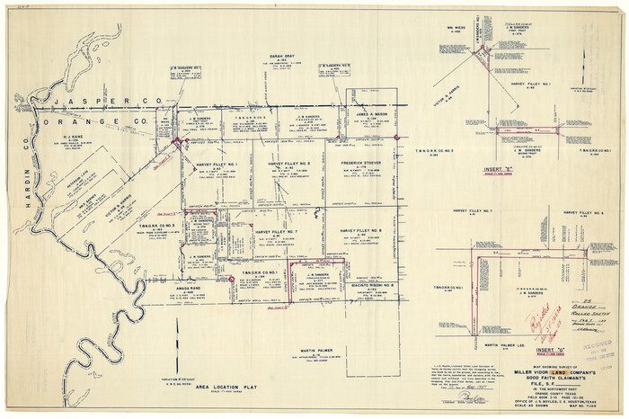

Print $20.00
- Digital $50.00
Orange County Rolled Sketch 25
1951
Size 29.0 x 43.5 inches
Map/Doc 10723
Shackelford County Boundary File 6


Print $6.00
- Digital $50.00
Shackelford County Boundary File 6
Size 11.4 x 8.8 inches
Map/Doc 58668
Reeves County


Print $40.00
- Digital $50.00
Reeves County
1903
Size 48.7 x 36.5 inches
Map/Doc 16798
Bee County Sketch File 2
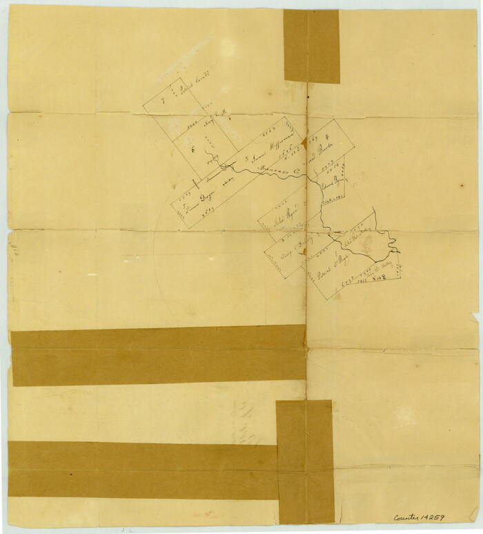

Print $40.00
- Digital $50.00
Bee County Sketch File 2
Size 14.3 x 13.0 inches
Map/Doc 14259
Pecos County Sketch File 29a
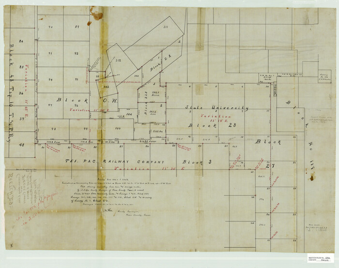

Print $20.00
- Digital $50.00
Pecos County Sketch File 29a
Size 24.5 x 31.0 inches
Map/Doc 12171
Menard County
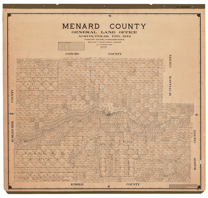

Print $20.00
- Digital $50.00
Menard County
1942
Size 42.2 x 44.4 inches
Map/Doc 95588
![93873, Texas, Oregon and California [Cover and accompaniment], Holcomb Digital Map Collection](https://historictexasmaps.com/wmedia_w1800h1800/pdf_converted_jpg/qi_pdf_thumbnail_38543.jpg)

