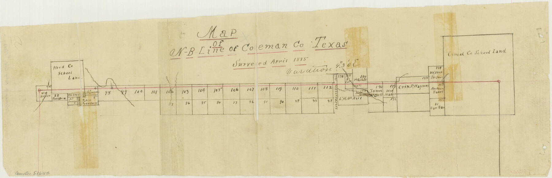
Coleman County Boundary File 17 (2)
[Fieldnotes of the North Boundary line of Coleman County and the South Boundary line of Callahan and Taylor Counties]
-
Map/Doc
51645
-
Collection
General Map Collection
-
Counties
Coleman
-
Subjects
County Boundaries
-
Height x Width
5.6 x 17.4 inches
14.2 x 44.2 cm
Part of: General Map Collection
Navarro County Sketch File 19

Print $14.00
- Digital $50.00
Navarro County Sketch File 19
1951
Size 11.4 x 8.8 inches
Map/Doc 32336
Erath County Working Sketch 18

Print $6.00
- Digital $50.00
Erath County Working Sketch 18
1962
Size 30.5 x 34.8 inches
Map/Doc 69099
Kenedy County Working Sketch 1

Print $20.00
- Digital $50.00
Kenedy County Working Sketch 1
Size 31.1 x 22.0 inches
Map/Doc 70002
Culberson County Rolled Sketch 37

Print $20.00
- Digital $50.00
Culberson County Rolled Sketch 37
Size 29.5 x 24.6 inches
Map/Doc 78464
Duval County Sketch File 19b

Print $6.00
- Digital $50.00
Duval County Sketch File 19b
Size 15.4 x 9.7 inches
Map/Doc 21320
Anderson County Boundary File 4

Print $10.00
- Digital $50.00
Anderson County Boundary File 4
Size 8.9 x 7.4 inches
Map/Doc 49737
Llano County Working Sketch 3

Print $20.00
- Digital $50.00
Llano County Working Sketch 3
1949
Size 23.6 x 24.0 inches
Map/Doc 70621
Colorado County Sketch File 35

Print $13.00
- Digital $50.00
Colorado County Sketch File 35
2005
Size 44.0 x 28.0 inches
Map/Doc 83564
Crockett County Working Sketch 81

Print $20.00
- Digital $50.00
Crockett County Working Sketch 81
1973
Size 28.1 x 37.7 inches
Map/Doc 68414
Coast Chart No. 210 - Aransas Pass and Corpus Christi Bay with the coast to latitude 27° 12', Texas

Print $20.00
- Digital $50.00
Coast Chart No. 210 - Aransas Pass and Corpus Christi Bay with the coast to latitude 27° 12', Texas
1907
Size 18.4 x 24.1 inches
Map/Doc 73453
Irion County Sketch File 2

Print $22.00
- Digital $50.00
Irion County Sketch File 2
1890
Size 11.2 x 8.4 inches
Map/Doc 27456

You may also like
Hutchinson County Rolled Sketch 44-18

Print $20.00
- Digital $50.00
Hutchinson County Rolled Sketch 44-18
2002
Size 24.0 x 36.0 inches
Map/Doc 77554
Culberson County Working Sketch 63

Print $20.00
- Digital $50.00
Culberson County Working Sketch 63
1975
Size 34.1 x 24.9 inches
Map/Doc 68517
Flight Mission No. CGI-4N, Frame 23, Cameron County

Print $20.00
- Digital $50.00
Flight Mission No. CGI-4N, Frame 23, Cameron County
1954
Size 18.6 x 22.4 inches
Map/Doc 84656

Brewster County Working Sketch 32

Print $20.00
- Digital $50.00
Brewster County Working Sketch 32
1943
Size 28.3 x 28.3 inches
Map/Doc 67566
Pecos County Working Sketch 100

Print $20.00
- Digital $50.00
Pecos County Working Sketch 100
1970
Size 42.9 x 31.6 inches
Map/Doc 71573
Intracoastal Waterway in Texas - Corpus Christi to Point Isabel including Arroyo Colorado to Mo. Pac. R.R. Bridge Near Harlingen

Print $20.00
- Digital $50.00
Intracoastal Waterway in Texas - Corpus Christi to Point Isabel including Arroyo Colorado to Mo. Pac. R.R. Bridge Near Harlingen
1933
Size 28.2 x 41.0 inches
Map/Doc 61853
College Heights a Subdivision of Outlots 8-9 and 62, Division B, Austin, Texas

Print $20.00
- Digital $50.00
College Heights a Subdivision of Outlots 8-9 and 62, Division B, Austin, Texas
Size 18.5 x 14.9 inches
Map/Doc 83429
Map of Cherokee County

Print $40.00
- Digital $50.00
Map of Cherokee County
1933
Size 59.9 x 41.5 inches
Map/Doc 1799
Kenedy County Working Sketch 3

Print $20.00
- Digital $50.00
Kenedy County Working Sketch 3
1903
Size 30.3 x 38.4 inches
Map/Doc 70005
Burnet County Rolled Sketch 5

Print $40.00
- Digital $50.00
Burnet County Rolled Sketch 5
1971
Size 36.5 x 49.6 inches
Map/Doc 8542
Flight Mission No. DCL-6C, Frame 92, Kenedy County

Print $20.00
- Digital $50.00
Flight Mission No. DCL-6C, Frame 92, Kenedy County
1943
Size 18.4 x 22.3 inches
Map/Doc 85922