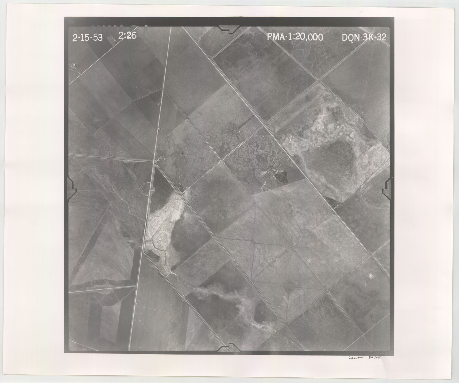
Flight Mission No. DQN-3K, Frame 32, Calhoun County
DQN-3K-32
-
Map/Doc
84345
-
Collection
General Map Collection
-
Object Dates
1953/2/15 (Creation Date)
-
People and Organizations
U. S. Department of Agriculture (Publisher)
-
Counties
Calhoun
-
Subjects
Aerial Photograph
-
Height x Width
18.6 x 22.3 inches
47.2 x 56.6 cm
-
Comments
Flown by Aero Exploration Company of Tulsa, Oklahoma.
Part of: General Map Collection
Marion County Working Sketch 26

Print $20.00
- Digital $50.00
Marion County Working Sketch 26
1970
Size 32.3 x 43.1 inches
Map/Doc 70802
Right of Way and Track Map Houston & Texas Central R.R. operated by the T. & N.O. R.R. Co., Austin Branch

Print $40.00
- Digital $50.00
Right of Way and Track Map Houston & Texas Central R.R. operated by the T. & N.O. R.R. Co., Austin Branch
1918
Size 25.6 x 57.8 inches
Map/Doc 64555
Freestone County Sketch File 28

Print $12.00
- Digital $50.00
Freestone County Sketch File 28
2002
Size 11.2 x 8.9 inches
Map/Doc 78602
Flight Mission No. BQR-7K, Frame 27, Brazoria County

Print $20.00
- Digital $50.00
Flight Mission No. BQR-7K, Frame 27, Brazoria County
1952
Size 18.6 x 22.3 inches
Map/Doc 84025
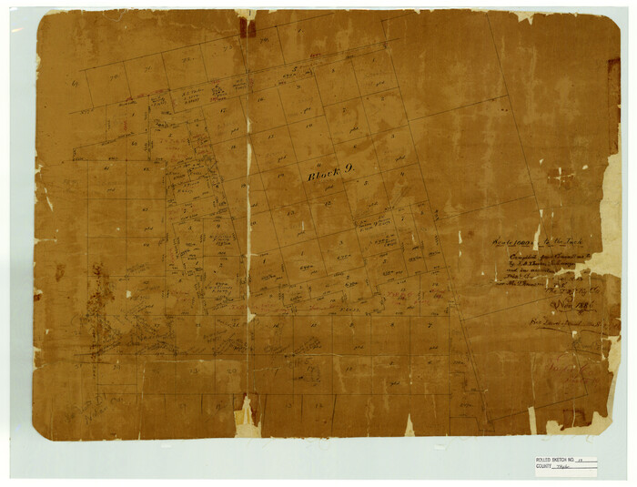
Montgomery County Rolled Sketch 9

Print $20.00
- Digital $50.00
Montgomery County Rolled Sketch 9
1899
Size 19.5 x 20.1 inches
Map/Doc 6795

Washington County

Print $20.00
- Digital $50.00
Washington County
1920
Size 32.5 x 47.2 inches
Map/Doc 16918
Map of north end of Brazos Island

Print $20.00
- Digital $50.00
Map of north end of Brazos Island
1845
Size 24.3 x 18.3 inches
Map/Doc 72919
Flight Mission No. DCL-7C, Frame 60, Kenedy County

Print $20.00
- Digital $50.00
Flight Mission No. DCL-7C, Frame 60, Kenedy County
1943
Size 15.3 x 15.3 inches
Map/Doc 86048
Terrell County Rolled Sketch 59

Print $20.00
- Digital $50.00
Terrell County Rolled Sketch 59
Size 32.5 x 28.2 inches
Map/Doc 7975
Wise County Sketch File 2

Print $8.00
- Digital $50.00
Wise County Sketch File 2
1856
Size 8.2 x 13.4 inches
Map/Doc 40523
Matagorda County NRC Article 33.136 Sketch 5

Print $28.00
- Digital $50.00
Matagorda County NRC Article 33.136 Sketch 5
2009
Size 24.2 x 35.0 inches
Map/Doc 95006
You may also like
Palo Pinto County

Print $20.00
- Digital $50.00
Palo Pinto County
1856
Size 29.9 x 20.9 inches
Map/Doc 1394
Dawson County Rolled Sketch 14

Print $20.00
- Digital $50.00
Dawson County Rolled Sketch 14
1989
Size 22.6 x 35.7 inches
Map/Doc 5697
District Map Showing Deaf Smith, Randall, Armstrong, Donley, Collingsworth, Castro, Swisher, Briscoe, Hall & Childress Counties, Texas

Print $40.00
- Digital $50.00
District Map Showing Deaf Smith, Randall, Armstrong, Donley, Collingsworth, Castro, Swisher, Briscoe, Hall & Childress Counties, Texas
1878
Size 42.9 x 82.3 inches
Map/Doc 1994
Taylor County Rolled Sketch 19
Print $20.00
- Digital $50.00
Taylor County Rolled Sketch 19
1886
Size 23.5 x 30.8 inches
Map/Doc 7913
Map of Martin County Texas

Print $20.00
- Digital $50.00
Map of Martin County Texas
1880
Size 22.6 x 19.0 inches
Map/Doc 4592
Kent County Working Sketch 3a

Print $20.00
- Digital $50.00
Kent County Working Sketch 3a
1948
Size 24.5 x 18.6 inches
Map/Doc 70009
Baylor County Sketch File 12D

Print $40.00
- Digital $50.00
Baylor County Sketch File 12D
1900
Size 20.0 x 42.5 inches
Map/Doc 10323
Cass County Working Sketch 40

Print $20.00
- Digital $50.00
Cass County Working Sketch 40
1984
Size 24.6 x 24.5 inches
Map/Doc 67943
From Citizens of Montgomery County for the Creation of a New County to be Called Bowie, January 18, 1838

Print $20.00
From Citizens of Montgomery County for the Creation of a New County to be Called Bowie, January 18, 1838
2020
Size 19.1 x 21.7 inches
Map/Doc 96376
Coke County Working Sketch 17

Print $20.00
- Digital $50.00
Coke County Working Sketch 17
1948
Size 18.2 x 19.4 inches
Map/Doc 68054
Upton County Rolled Sketch 59A

Print $20.00
- Digital $50.00
Upton County Rolled Sketch 59A
Size 35.7 x 45.9 inches
Map/Doc 76423
Flight Mission No. CUG-2P, Frame 26, Kleberg County

Print $20.00
- Digital $50.00
Flight Mission No. CUG-2P, Frame 26, Kleberg County
1956
Size 18.7 x 22.4 inches
Map/Doc 86190