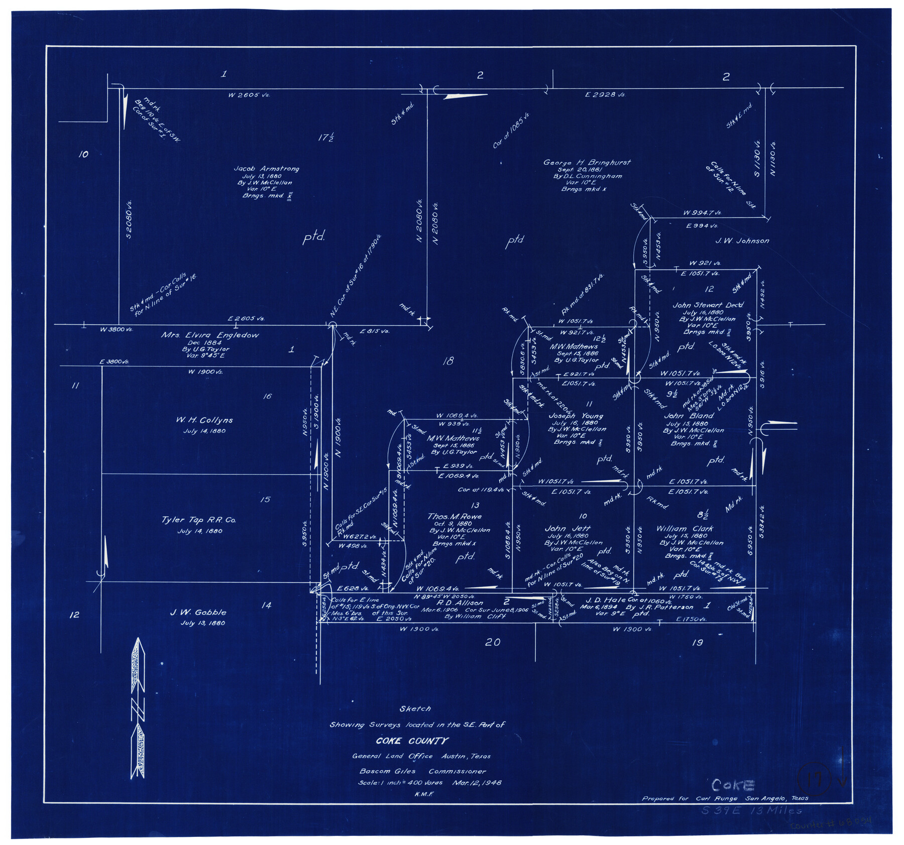
Coke County Working Sketch 17
-
Map/Doc
68054
-
Collection
General Map Collection
-
Object Dates
3/12/1948 (Creation Date)
-
Counties
Coke
-
Subjects
Surveying Working Sketch
-
Height x Width
18.2 x 19.4 inches
46.2 x 49.3 cm
-
Scale
1" = 400 varas
Part of: General Map Collection
Hopkins County Sketch File 10a

Print $4.00
- Digital $50.00
Hopkins County Sketch File 10a
1856
Size 12.2 x 7.8 inches
Map/Doc 26702
Flight Mission No. DQN-2K, Frame 162, Calhoun County

Print $20.00
- Digital $50.00
Flight Mission No. DQN-2K, Frame 162, Calhoun County
1953
Size 18.5 x 22.2 inches
Map/Doc 84324
Flight Mission No. CRK-8P, Frame 97, Refugio County

Print $20.00
- Digital $50.00
Flight Mission No. CRK-8P, Frame 97, Refugio County
1956
Size 18.5 x 22.1 inches
Map/Doc 86958
Mexico and Guatimala

Print $20.00
- Digital $50.00
Mexico and Guatimala
1828
Size 9.9 x 12.4 inches
Map/Doc 97276
Flight Mission No. CRE-2R, Frame 80, Jackson County

Print $20.00
- Digital $50.00
Flight Mission No. CRE-2R, Frame 80, Jackson County
1956
Size 18.7 x 22.3 inches
Map/Doc 85352
Crane County Rolled Sketch 20

Print $20.00
- Digital $50.00
Crane County Rolled Sketch 20
Size 44.5 x 34.6 inches
Map/Doc 8684
Right of Way and Track Map, the Missouri, Kansas & Texas Ry. Of Texas operated by the Missouri, Kansas & Texas Ry. Of Texas, Houston Division

Print $40.00
- Digital $50.00
Right of Way and Track Map, the Missouri, Kansas & Texas Ry. Of Texas operated by the Missouri, Kansas & Texas Ry. Of Texas, Houston Division
1918
Size 24.7 x 73.8 inches
Map/Doc 64565
Trinity River, Bazzette Sheet

Print $20.00
- Digital $50.00
Trinity River, Bazzette Sheet
1925
Size 27.9 x 23.8 inches
Map/Doc 78339
Nueces County Rolled Sketch 95

Print $20.00
- Digital $50.00
Nueces County Rolled Sketch 95
1983
Size 18.2 x 24.7 inches
Map/Doc 7052
Texas Intracoastal Waterway - Matagorda Bay, Cedar Lakes to Oyster Lake

Print $20.00
- Digital $50.00
Texas Intracoastal Waterway - Matagorda Bay, Cedar Lakes to Oyster Lake
1960
Size 27.2 x 38.9 inches
Map/Doc 73369
Cherokee County Working Sketch 26

Print $20.00
- Digital $50.00
Cherokee County Working Sketch 26
1977
Size 28.9 x 34.9 inches
Map/Doc 67981
Hartley County Boundary File 2a

Print $48.00
- Digital $50.00
Hartley County Boundary File 2a
Size 14.2 x 8.8 inches
Map/Doc 54461
You may also like
Maps & Lists Showing Prison Lands (Oil & Gas) Leased as of June 1955

Digital $50.00
Maps & Lists Showing Prison Lands (Oil & Gas) Leased as of June 1955
Size 11.4 x 7.2 inches
Map/Doc 62867

Cass County Working Sketch 40

Print $20.00
- Digital $50.00
Cass County Working Sketch 40
1984
Size 24.6 x 24.5 inches
Map/Doc 67943
Colorado River, Matagorda Sheet

Print $6.00
- Digital $50.00
Colorado River, Matagorda Sheet
1937
Size 30.9 x 35.8 inches
Map/Doc 65303
Adrian Heights Adition (sic) to Adrian Located in Section 16, Block K11

Print $2.00
- Digital $50.00
Adrian Heights Adition (sic) to Adrian Located in Section 16, Block K11
Size 15.6 x 7.6 inches
Map/Doc 92097
Fisher County Sketch File 5

Print $20.00
- Digital $50.00
Fisher County Sketch File 5
1887
Size 35.3 x 47.6 inches
Map/Doc 10449
Titus County Sketch File 2

Print $4.00
- Digital $50.00
Titus County Sketch File 2
Size 8.2 x 10.1 inches
Map/Doc 38132
Mason County Rolled Sketch 2

Print $20.00
- Digital $50.00
Mason County Rolled Sketch 2
1952
Size 32.9 x 26.7 inches
Map/Doc 6675
Starr County Rolled Sketch 23

Print $20.00
- Digital $50.00
Starr County Rolled Sketch 23
1938
Size 36.8 x 24.9 inches
Map/Doc 7807
Scurry County Sketch File 6

Print $14.00
- Digital $50.00
Scurry County Sketch File 6
2002
Size 11.2 x 8.7 inches
Map/Doc 76370
Nueces County Rolled Sketch 11

Print $40.00
- Digital $50.00
Nueces County Rolled Sketch 11
Size 43.2 x 56.8 inches
Map/Doc 9586
Pecos County Rolled Sketch 188

Print $40.00
- Digital $50.00
Pecos County Rolled Sketch 188
1984
Size 59.4 x 43.5 inches
Map/Doc 9753