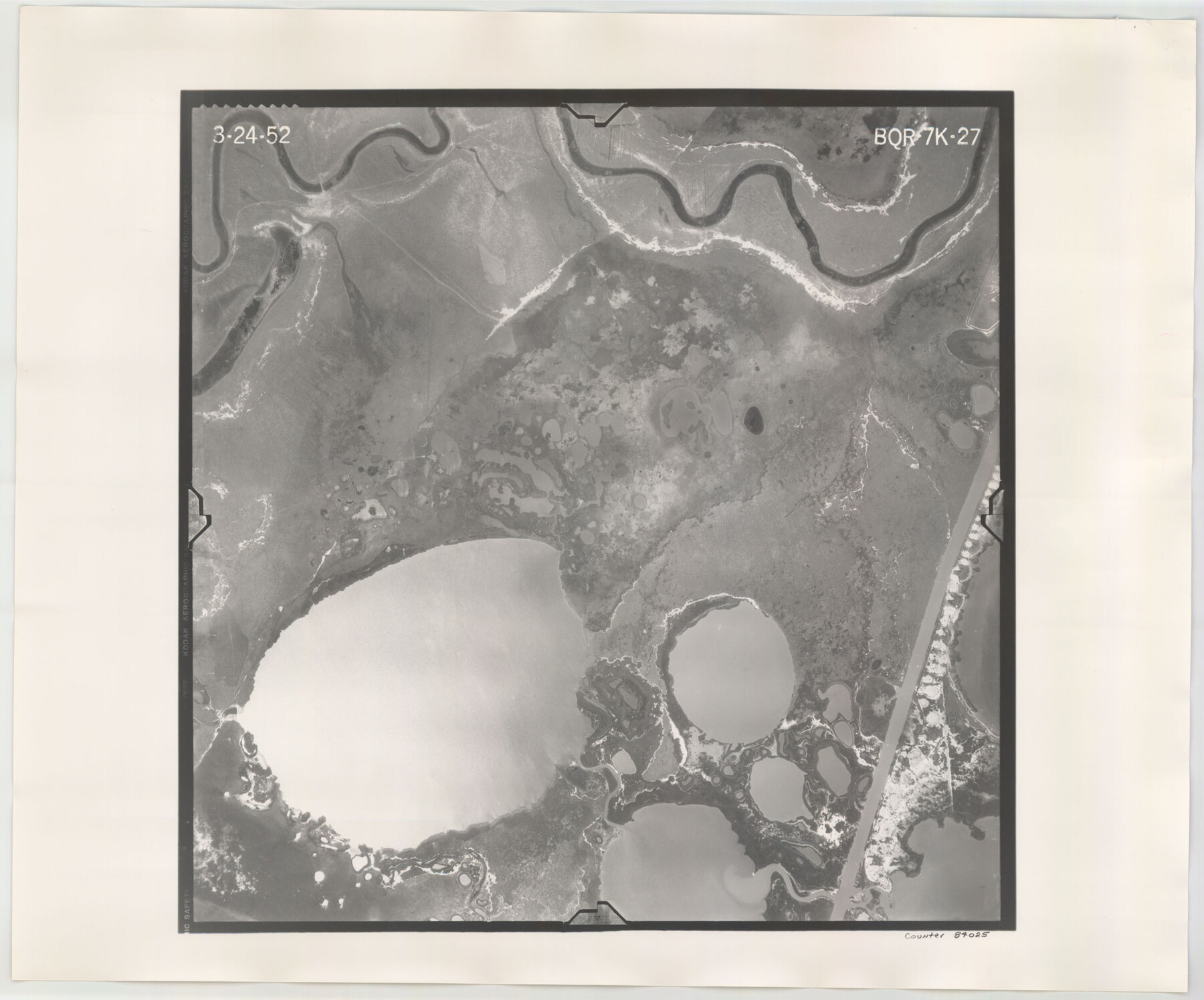
Flight Mission No. BQR-7K, Frame 27, Brazoria County
BQR-7K-27
-
Map/Doc
84025
-
Collection
General Map Collection
-
Object Dates
1952/3/24 (Creation Date)
-
People and Organizations
U. S. Department of Agriculture (Publisher)
-
Counties
Brazoria
-
Subjects
Aerial Photograph
-
Height x Width
18.6 x 22.3 inches
47.2 x 56.6 cm
-
Comments
Flown by Aero Exploration Company of Tulsa, Oklahoma.
Part of: General Map Collection
McMullen County Working Sketch 32

Print $20.00
- Digital $50.00
McMullen County Working Sketch 32
1958
Size 28.2 x 32.5 inches
Map/Doc 70733
Jefferson County Rolled Sketch 56

Print $20.00
- Digital $50.00
Jefferson County Rolled Sketch 56
1953
Size 32.1 x 43.8 inches
Map/Doc 6406
Blanco County Working Sketch 13

Print $20.00
- Digital $50.00
Blanco County Working Sketch 13
1948
Size 42.6 x 33.6 inches
Map/Doc 67373
Buchanan Dam Reservoir Clearing

Print $20.00
- Digital $50.00
Buchanan Dam Reservoir Clearing
1935
Size 21.8 x 40.4 inches
Map/Doc 60393
Duval County Sketch File 7

Print $4.00
- Digital $50.00
Duval County Sketch File 7
1875
Size 10.9 x 8.6 inches
Map/Doc 21294
Wood County Sketch File 11

Print $4.00
- Digital $50.00
Wood County Sketch File 11
1858
Size 12.7 x 8.0 inches
Map/Doc 40664
Brazoria County Rolled Sketch 43

Print $20.00
- Digital $50.00
Brazoria County Rolled Sketch 43
Size 24.4 x 19.6 inches
Map/Doc 5177
Upton County Sketch File 39

Print $12.00
- Digital $50.00
Upton County Sketch File 39
1953
Size 11.2 x 8.8 inches
Map/Doc 38907
Edwards County Working Sketch 9

Print $20.00
- Digital $50.00
Edwards County Working Sketch 9
1920
Size 22.2 x 34.7 inches
Map/Doc 68885
[The S.K. Ry. of Texas, State Line to Pecos, Reeves Co., Texas]
![64160, [The S.K. Ry. of Texas, State Line to Pecos, Reeves Co., Texas], General Map Collection](https://historictexasmaps.com/wmedia_w700/maps/64160.tif.jpg)
Print $40.00
- Digital $50.00
[The S.K. Ry. of Texas, State Line to Pecos, Reeves Co., Texas]
1910
Size 19.5 x 119.7 inches
Map/Doc 64160
Denton County Sketch File 33

Print $4.00
- Digital $50.00
Denton County Sketch File 33
Size 8.2 x 12.4 inches
Map/Doc 20760
Johnson County

Print $20.00
- Digital $50.00
Johnson County
1857
Size 19.2 x 29.1 inches
Map/Doc 3734
You may also like
Comal County Working Sketch 19

Print $20.00
- Digital $50.00
Comal County Working Sketch 19
2006
Size 18.8 x 29.0 inches
Map/Doc 83094
General Highway Map, Frio County, Texas

Print $20.00
General Highway Map, Frio County, Texas
1940
Size 18.4 x 24.9 inches
Map/Doc 79095

Upshur County Working Sketch 1

Print $20.00
- Digital $50.00
Upshur County Working Sketch 1
1934
Size 28.9 x 32.6 inches
Map/Doc 69557
Panhandle of Texas

Print $20.00
- Digital $50.00
Panhandle of Texas
1907
Size 11.4 x 14.4 inches
Map/Doc 95889
Central Lea County, New Mexico

Print $40.00
- Digital $50.00
Central Lea County, New Mexico
Size 40.6 x 60.2 inches
Map/Doc 89909
Travis County

Print $40.00
- Digital $50.00
Travis County
1936
Size 43.2 x 54.6 inches
Map/Doc 63078
Flight Mission No. CLL-3N, Frame 45, Willacy County

Print $20.00
- Digital $50.00
Flight Mission No. CLL-3N, Frame 45, Willacy County
1954
Size 18.4 x 22.1 inches
Map/Doc 87103
Callahan County Working Sketch 13

Print $20.00
- Digital $50.00
Callahan County Working Sketch 13
1977
Size 23.8 x 27.6 inches
Map/Doc 67895
[Surveys along the Cibolo, Balcones and Leon Creeks]
![69728, [Surveys along the Cibolo, Balcones and Leon Creeks], General Map Collection](https://historictexasmaps.com/wmedia_w700/maps/69728-1.tif.jpg)
Print $20.00
- Digital $50.00
[Surveys along the Cibolo, Balcones and Leon Creeks]
1841
Size 14.5 x 21.0 inches
Map/Doc 69728
Aransas County Sketch File 15b

Print $10.00
- Digital $50.00
Aransas County Sketch File 15b
1891
Size 13.8 x 8.1 inches
Map/Doc 13143
Richland Hills Addition to Muleshoe, Bailey County, Texas

Print $20.00
- Digital $50.00
Richland Hills Addition to Muleshoe, Bailey County, Texas
1957
Size 22.9 x 31.8 inches
Map/Doc 92532