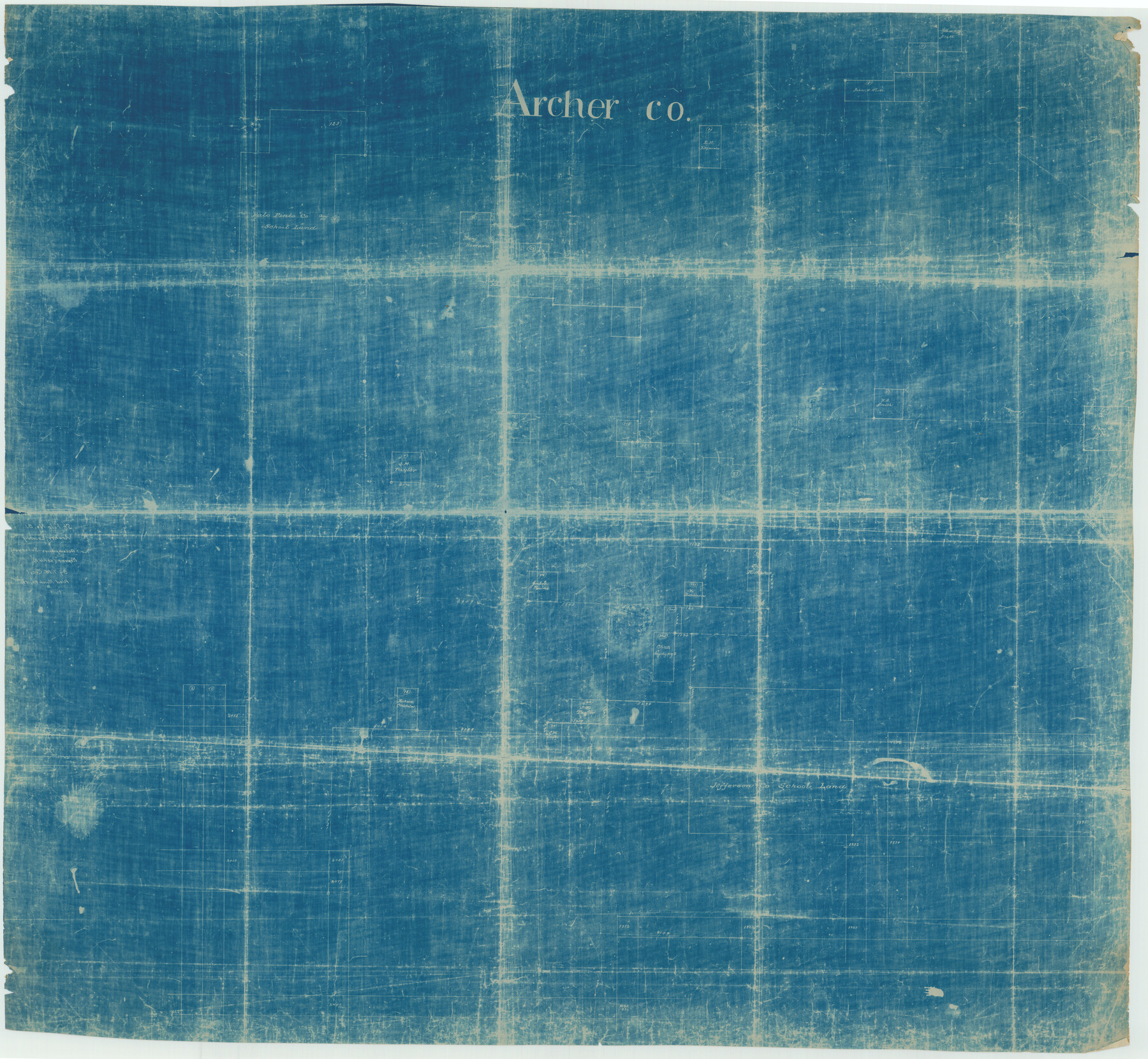
Archer County Rolled Sketch E
[Map of Archer County]
-
Map/Doc
8424
-
Collection
General Map Collection
-
Counties
Archer
-
Subjects
County Surveying Rolled Sketch
-
Height x Width
34.3 x 37.2 inches
87.1 x 94.5 cm
-
Medium
blueprint/diazo
-
Comments
Map is in very poor condition.
Part of: General Map Collection
Brazoria County Rolled Sketch 41

Print $20.00
- Digital $50.00
Brazoria County Rolled Sketch 41
Size 30.3 x 21.3 inches
Map/Doc 5176
Flight Mission No. CRK-8P, Frame 100, Refugio County

Print $20.00
- Digital $50.00
Flight Mission No. CRK-8P, Frame 100, Refugio County
1956
Size 18.2 x 22.0 inches
Map/Doc 86961
[Surveys near Hondo Creek]
![226, [Surveys near Hondo Creek], General Map Collection](https://historictexasmaps.com/wmedia_w700/maps/226.tif.jpg)
Print $2.00
- Digital $50.00
[Surveys near Hondo Creek]
1847
Size 13.8 x 8.0 inches
Map/Doc 226
Harris County Historic Topographic 24

Print $20.00
- Digital $50.00
Harris County Historic Topographic 24
1916
Size 29.2 x 22.9 inches
Map/Doc 65835
Burnet County Working Sketch 11

Print $20.00
- Digital $50.00
Burnet County Working Sketch 11
1975
Size 26.5 x 28.9 inches
Map/Doc 67854
Winkler County Rolled Sketch 17

Print $20.00
- Digital $50.00
Winkler County Rolled Sketch 17
1999
Size 38.9 x 54.5 inches
Map/Doc 8277
Armstrong County Working Sketch Graphic Index

Print $20.00
- Digital $50.00
Armstrong County Working Sketch Graphic Index
1933
Size 40.3 x 40.0 inches
Map/Doc 76457
Lamb County Boundary File 1b

Print $2.00
- Digital $50.00
Lamb County Boundary File 1b
Size 10.9 x 8.8 inches
Map/Doc 56044
Flight Mission No. DQN-5K, Frame 77, Calhoun County

Print $20.00
- Digital $50.00
Flight Mission No. DQN-5K, Frame 77, Calhoun County
1953
Size 18.5 x 22.1 inches
Map/Doc 84410
Kent County Working Sketch 19

Print $40.00
- Digital $50.00
Kent County Working Sketch 19
1980
Size 36.8 x 51.5 inches
Map/Doc 70026
Old Miscellaneous File 19

Print $32.00
- Digital $50.00
Old Miscellaneous File 19
Size 14.2 x 8.8 inches
Map/Doc 75499
Boundary and Ownership map, Laguna Atascosa National Wildlife Refuge, Cameron and Willacy Counties, Texas

Print $40.00
- Digital $50.00
Boundary and Ownership map, Laguna Atascosa National Wildlife Refuge, Cameron and Willacy Counties, Texas
Size 72.7 x 43.0 inches
Map/Doc 60396
You may also like
Terrell County Working Sketch 78

Print $20.00
- Digital $50.00
Terrell County Working Sketch 78
1983
Size 41.0 x 37.2 inches
Map/Doc 69599
Hood County Rolled Sketch 4

Print $20.00
- Digital $50.00
Hood County Rolled Sketch 4
Size 33.4 x 43.1 inches
Map/Doc 6220
Aransas County NRC Article 33.136 Sketch 1

Print $55.00
- Digital $50.00
Aransas County NRC Article 33.136 Sketch 1
2000
Size 24.8 x 35.6 inches
Map/Doc 61630

Bosque County Sketch File 5

Print $6.00
- Digital $50.00
Bosque County Sketch File 5
1847
Size 15.7 x 10.4 inches
Map/Doc 14746
The Chief Justice County of Washington. Lands in Conflict with Nacogdoches County

Print $20.00
The Chief Justice County of Washington. Lands in Conflict with Nacogdoches County
2020
Size 13.0 x 21.7 inches
Map/Doc 96078
Sutton County Boundary File 1

Print $4.00
- Digital $50.00
Sutton County Boundary File 1
Size 14.5 x 8.9 inches
Map/Doc 59002
Titus County Working Sketch 7

Print $20.00
- Digital $50.00
Titus County Working Sketch 7
1970
Size 31.5 x 28.7 inches
Map/Doc 69368
Galveston County Sketch File 58

Print $20.00
- Digital $50.00
Galveston County Sketch File 58
1984
Size 47.1 x 38.3 inches
Map/Doc 10458
Flight Mission No. DQO-3K, Frame 29, Galveston County

Print $20.00
- Digital $50.00
Flight Mission No. DQO-3K, Frame 29, Galveston County
1952
Size 18.8 x 22.4 inches
Map/Doc 85070
Montgomery County Sketch File 39

Print $4.00
- Digital $50.00
Montgomery County Sketch File 39
1941
Size 14.6 x 8.6 inches
Map/Doc 31923
Flight Mission No. DAG-23K, Frame 20, Matagorda County

Print $20.00
- Digital $50.00
Flight Mission No. DAG-23K, Frame 20, Matagorda County
1953
Size 18.4 x 22.2 inches
Map/Doc 86482