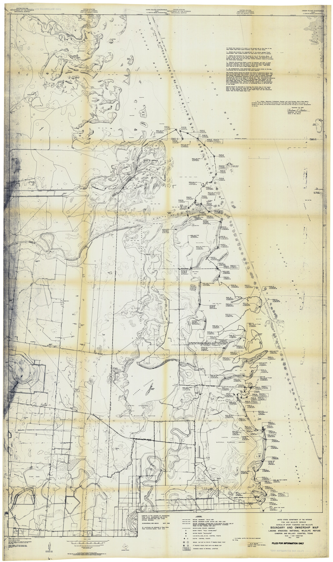
Boundary and Ownership map, Laguna Atascosa National Wildlife Refuge, Cameron and Willacy Counties, Texas
N-2-120
-
Map/Doc
60396
-
Collection
General Map Collection
-
Height x Width
72.7 x 43.0 inches
184.7 x 109.2 cm
Part of: General Map Collection
Map of Zavalla County

Print $20.00
- Digital $50.00
Map of Zavalla County
1862
Size 24.2 x 20.5 inches
Map/Doc 4180
El Paso County Boundary File 14

Print $8.00
- Digital $50.00
El Paso County Boundary File 14
Size 13.0 x 8.6 inches
Map/Doc 53179
Nueces County Rolled Sketch 25

Print $40.00
- Digital $50.00
Nueces County Rolled Sketch 25
1940
Size 32.2 x 48.4 inches
Map/Doc 9594
Dawson County Working Sketch 16

Print $20.00
- Digital $50.00
Dawson County Working Sketch 16
1956
Size 13.9 x 18.8 inches
Map/Doc 68560
Kimble County Working Sketch 64

Print $20.00
- Digital $50.00
Kimble County Working Sketch 64
1964
Size 15.1 x 16.9 inches
Map/Doc 70132
Intrenched depot of the army of occupation at Point Isabel, Texas

Print $20.00
- Digital $50.00
Intrenched depot of the army of occupation at Point Isabel, Texas
1846
Size 17.0 x 25.2 inches
Map/Doc 72922
Bailey County Working Sketch 4

Print $20.00
- Digital $50.00
Bailey County Working Sketch 4
1937
Size 27.0 x 32.0 inches
Map/Doc 67591
Irion County Working Sketch 12

Print $20.00
- Digital $50.00
Irion County Working Sketch 12
1968
Size 15.9 x 24.9 inches
Map/Doc 66421
Anderson County

Print $40.00
- Digital $50.00
Anderson County
1942
Size 53.5 x 47.1 inches
Map/Doc 73066
Dickens County Boundary File 2

Print $52.00
- Digital $50.00
Dickens County Boundary File 2
Size 8.9 x 4.2 inches
Map/Doc 52533
Hardeman County Sketch File 8

Print $8.00
- Digital $50.00
Hardeman County Sketch File 8
Size 12.8 x 8.2 inches
Map/Doc 25002
Liberty County Working Sketch Graphic Index - west part

Print $20.00
- Digital $50.00
Liberty County Working Sketch Graphic Index - west part
1977
Size 45.7 x 34.5 inches
Map/Doc 76619
You may also like
The Republic County of Nacogdoches. January 16, 1843

Print $20.00
The Republic County of Nacogdoches. January 16, 1843
2020
Size 15.9 x 21.8 inches
Map/Doc 96249
Cooke County Working Sketch 27

Print $20.00
- Digital $50.00
Cooke County Working Sketch 27
1975
Size 29.7 x 23.3 inches
Map/Doc 68264
Correct Map of the Railway & Steamship Lines operated by the Southern Pacific Company

Print $20.00
- Digital $50.00
Correct Map of the Railway & Steamship Lines operated by the Southern Pacific Company
1893
Size 16.7 x 40.1 inches
Map/Doc 95762
Flight Mission No. BRA-7M, Frame 28, Jefferson County

Print $20.00
- Digital $50.00
Flight Mission No. BRA-7M, Frame 28, Jefferson County
1953
Size 18.5 x 22.4 inches
Map/Doc 85479
General Highway Map. Detail of Cities and Towns in Nueces County, Texas [Corpus Christi and vicinity]
![79617, General Highway Map. Detail of Cities and Towns in Nueces County, Texas [Corpus Christi and vicinity], Texas State Library and Archives](https://historictexasmaps.com/wmedia_w700/maps/79617.tif.jpg)
Print $20.00
General Highway Map. Detail of Cities and Towns in Nueces County, Texas [Corpus Christi and vicinity]
1961
Size 24.6 x 18.1 inches
Map/Doc 79617
Crane County Rolled Sketch 21

Print $20.00
- Digital $50.00
Crane County Rolled Sketch 21
1988
Size 42.5 x 36.6 inches
Map/Doc 8685
Culberson County Sketch File 18

Print $8.00
- Digital $50.00
Culberson County Sketch File 18
Size 14.3 x 8.8 inches
Map/Doc 20185
[Blocks 46, XO3, and Y]
![91181, [Blocks 46, XO3, and Y], Twichell Survey Records](https://historictexasmaps.com/wmedia_w700/maps/91181-1.tif.jpg)
Print $3.00
- Digital $50.00
[Blocks 46, XO3, and Y]
Size 9.8 x 16.0 inches
Map/Doc 91181
Nueces County Aerial Photograph Index Sheet 23

Print $20.00
- Digital $50.00
Nueces County Aerial Photograph Index Sheet 23
1938
Size 24.4 x 20.3 inches
Map/Doc 86844
Dawson County Working Sketch Graphic Index

Print $20.00
- Digital $50.00
Dawson County Working Sketch Graphic Index
1959
Size 40.7 x 33.4 inches
Map/Doc 76518
Karnes County Sketch File 6

Print $4.00
- Digital $50.00
Karnes County Sketch File 6
1858
Size 7.7 x 8.1 inches
Map/Doc 28557
Pecos County Rolled Sketch 50

Print $20.00
- Digital $50.00
Pecos County Rolled Sketch 50
1913
Size 23.5 x 13.0 inches
Map/Doc 7226