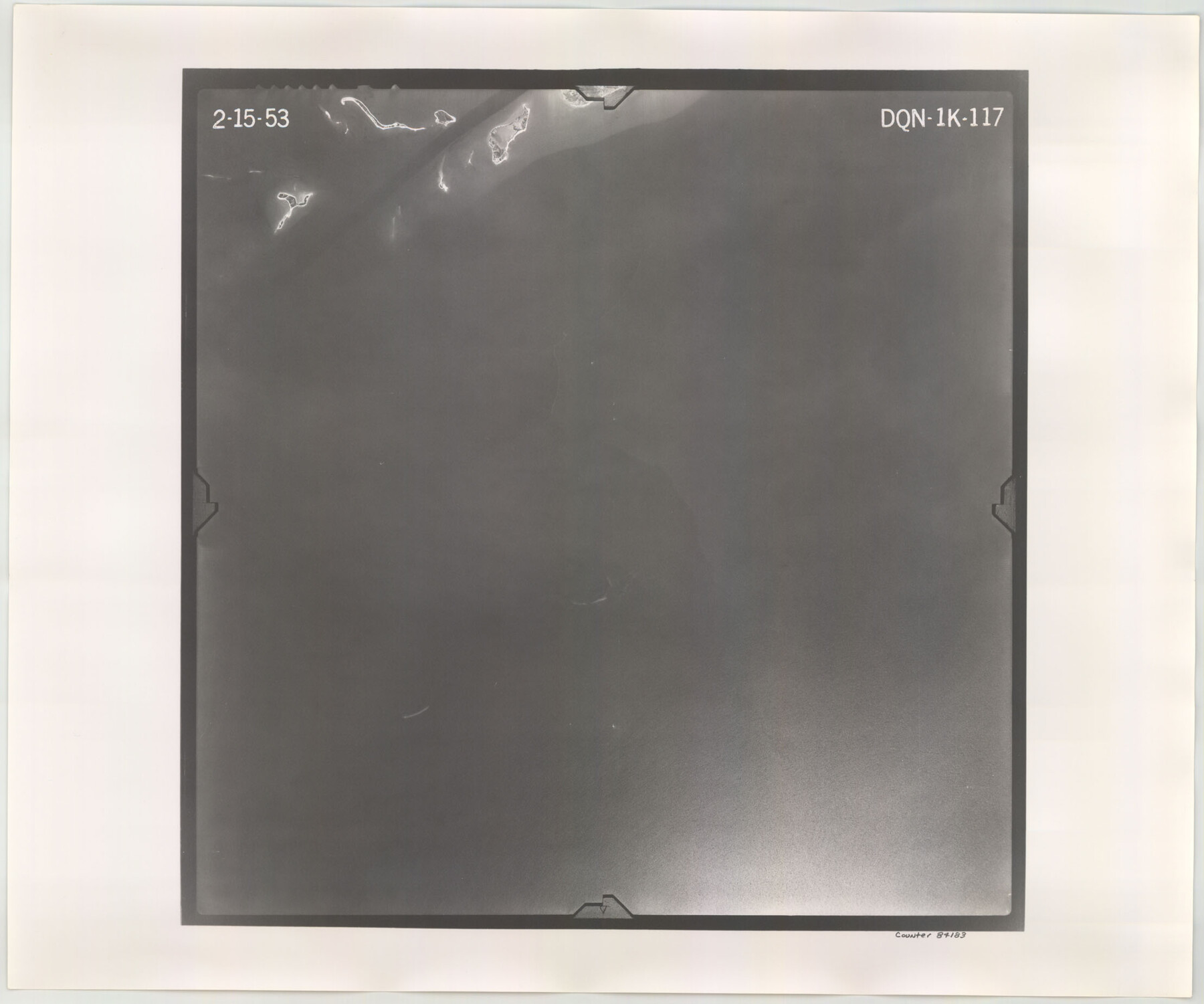
Flight Mission No. DQN-1K, Frame 117, Calhoun County
DQN-1K-117
- 
                          Map/Doc
84183
 - 
                            Collection
General Map Collection
 - 
                            Object Dates
1953/2/15 (Creation Date)
 - 
                            People and Organizations
U. S. Department of Agriculture (Publisher)
 - 
                            Counties
Calhoun
 - 
                            Subjects
Aerial Photograph
 - 
                            Height x Width
18.5 x 22.2 inches
47.0 x 56.4 cm
 - 
                            Comments
Flown by Aero Exploration Company of Tulsa, Oklahoma.
 
Part of: General Map Collection
            Flight Mission No. DQN-1K, Frame 138, Calhoun County


                                            Print $20.00                    
                                             -                         Digital $50.00                                    
                Flight Mission No. DQN-1K, Frame 138, Calhoun County
1953
Size 18.6 x 22.3 inches
                                Map/Doc 84201
            
            Jack County Working Sketch 21


                                            Print $20.00                    
                                             -                         Digital $50.00                                    
                Jack County Working Sketch 21
1993
Size 28.3 x 40.0 inches
                                Map/Doc 66447
            
            Treaty to Resolve Pending Boundary Differences and Maintain the Rio Grande and Colorado River as the International Boundary Between the United States of American and Mexico


                                            Print $4.00                    
                                             -                         Digital $50.00                                    
                Treaty to Resolve Pending Boundary Differences and Maintain the Rio Grande and Colorado River as the International Boundary Between the United States of American and Mexico
1970
Size 12.3 x 19.0 inches
                                Map/Doc 83098
            
            Cass County Working Sketch 27


                                            Print $20.00                    
                                             -                         Digital $50.00                                    
                Cass County Working Sketch 27
1978
Size 17.5 x 19.7 inches
                                Map/Doc 67930
            
            Map of the Navosoto [sp.] River, Washington County


                                            Print $20.00                    
                                             -                         Digital $50.00                                    
                Map of the Navosoto [sp.] River, Washington County
1842
Size 15.7 x 14.2 inches
                                Map/Doc 64
            
            Ward County Sketch File L


                                            Print $20.00                    
                                             -                         Digital $50.00                                    
                Ward County Sketch File L
Size 23.8 x 29.6 inches
                                Map/Doc 12601
            
            Kinney County Sketch File 5


                                            Print $2.00                    
                                             -                         Digital $50.00                                    
                Kinney County Sketch File 5
Size 5.7 x 13.1 inches
                                Map/Doc 29123
            
            Delta County Sketch File 4


                                            Print $4.00                    
                                             -                         Digital $50.00                                    
                Delta County Sketch File 4
Size 10.9 x 7.3 inches
                                Map/Doc 20674
            
            Uvalde County Working Sketch 39


                                            Print $20.00                    
                                             -                         Digital $50.00                                    
                Uvalde County Working Sketch 39
1975
Size 28.0 x 45.3 inches
                                Map/Doc 72109
            
            Smith County Sketch File 8


                                            Print $4.00                    
                                             -                         Digital $50.00                                    
                Smith County Sketch File 8
1848
Size 12.8 x 8.1 inches
                                Map/Doc 36761
            
            Flight Mission No. CON-4R, Frame 200, Stonewall County


                                            Print $20.00                    
                                             -                         Digital $50.00                                    
                Flight Mission No. CON-4R, Frame 200, Stonewall County
1957
Size 18.2 x 22.0 inches
                                Map/Doc 86994
            
            Haskell County Working Sketch 3


                                            Print $20.00                    
                                             -                         Digital $50.00                                    
                Haskell County Working Sketch 3
1920
Size 41.4 x 21.9 inches
                                Map/Doc 66061
            You may also like
            Hutchinson County Rolled Sketch 42


                                            Print $40.00                    
                                             -                         Digital $50.00                                    
                Hutchinson County Rolled Sketch 42
Size 38.0 x 49.5 inches
                                Map/Doc 6307
            
            The Rand-McNally Official Railway Guide Map of the United States with portions of the Dominion of Canada, the Republic of Mexico, and the West Indies


                                            Print $20.00                    
                                             -                         Digital $50.00                                    
                The Rand-McNally Official Railway Guide Map of the United States with portions of the Dominion of Canada, the Republic of Mexico, and the West Indies
1927
Size 31.1 x 43.5 inches
                                Map/Doc 95864
            
            Menard County Working Sketch 15


                                            Print $20.00                    
                                             -                         Digital $50.00                                    
                Menard County Working Sketch 15
1943
Size 18.6 x 20.6 inches
                                Map/Doc 70962
            
            Armstrong County Sketch File A-3


                                            Print $40.00                    
                                             -                         Digital $50.00                                    
                Armstrong County Sketch File A-3
Size 21.3 x 23.7 inches
                                Map/Doc 10844
            
            Flight Mission No. DIX-3P, Frame 167, Aransas County


                                            Print $20.00                    
                                             -                         Digital $50.00                                    
                Flight Mission No. DIX-3P, Frame 167, Aransas County
1956
Size 17.8 x 18.0 inches
                                Map/Doc 83773
            
            Pecos County Working Sketch 38


                                            Print $20.00                    
                                             -                         Digital $50.00                                    
                Pecos County Working Sketch 38
1939
Size 29.5 x 42.7 inches
                                Map/Doc 71510
            
            Aransas County NRC Article 33.136 Sketch 14


                                            Print $36.00                    
                                             -                         Digital $50.00                                    
                Aransas County NRC Article 33.136 Sketch 14
2016
Size 18.0 x 24.0 inches
                                Map/Doc 94795
            
            Victoria County Sketch File V1


                                            Print $10.00                    
                                             -                         Digital $50.00                                    
                Victoria County Sketch File V1
1896
Size 14.6 x 9.2 inches
                                Map/Doc 39525
            
            Live Oak County Working Sketch 20


                                            Print $20.00                    
                                             -                         Digital $50.00                                    
                Live Oak County Working Sketch 20
1962
Size 29.7 x 35.7 inches
                                Map/Doc 70605
            
            General Highway Map, Lee County, Texas


                                            Print $20.00                    
                                    
                General Highway Map, Lee County, Texas
1961
Size 18.4 x 24.6 inches
                                Map/Doc 79567
            
            Briscoe County


                                            Print $20.00                    
                                             -                         Digital $50.00                                    
                Briscoe County
1879
Size 24.8 x 21.7 inches
                                Map/Doc 3331
            
            Sutton County Working Sketch 33


                                            Print $20.00                    
                                             -                         Digital $50.00                                    
                Sutton County Working Sketch 33
1936
Size 23.3 x 32.2 inches
                                Map/Doc 62376