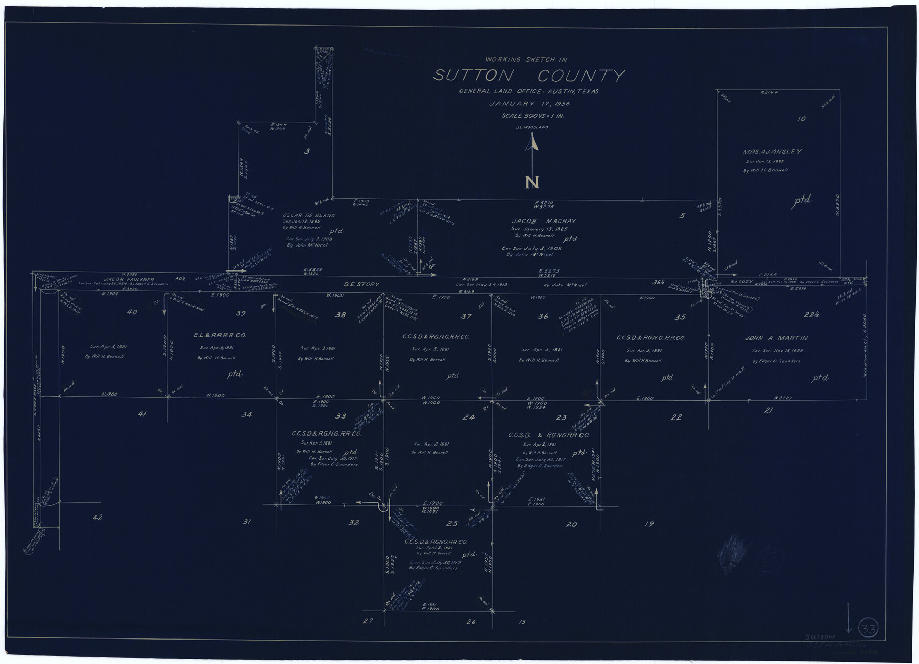
Sutton County Working Sketch 33
-
Map/Doc
62376
-
Collection
General Map Collection
-
Object Dates
1/17/1936 (Creation Date)
-
People and Organizations
J.L. Woodland (Draftsman)
-
Counties
Sutton
-
Subjects
Surveying Working Sketch
-
Height x Width
23.3 x 32.2 inches
59.2 x 81.8 cm
-
Scale
1" = 500 varas
Part of: General Map Collection
Map of Grimes Co.

Print $20.00
- Digital $50.00
Map of Grimes Co.
1881
Size 32.6 x 17.5 inches
Map/Doc 66843
Flight Mission No. DQN-3K, Frame 50, Calhoun County

Print $20.00
- Digital $50.00
Flight Mission No. DQN-3K, Frame 50, Calhoun County
1953
Size 18.4 x 22.2 inches
Map/Doc 84351
Culberson County Rolled Sketch 36

Print $20.00
- Digital $50.00
Culberson County Rolled Sketch 36
1934
Size 32.5 x 23.2 inches
Map/Doc 8750
Right of Way & Track Map, The Texas & Pacific Ry. Co. Main Line

Print $20.00
- Digital $50.00
Right of Way & Track Map, The Texas & Pacific Ry. Co. Main Line
Size 11.0 x 18.3 inches
Map/Doc 64687
Map of Menard County

Print $20.00
- Digital $50.00
Map of Menard County
1871
Size 18.2 x 21.6 inches
Map/Doc 3873
Lampasas County Working Sketch 18

Print $20.00
- Digital $50.00
Lampasas County Working Sketch 18
1977
Size 46.1 x 44.0 inches
Map/Doc 70295
Flight Mission No. BQR-16K, Frame 32, Brazoria County

Print $20.00
- Digital $50.00
Flight Mission No. BQR-16K, Frame 32, Brazoria County
1952
Size 18.5 x 22.2 inches
Map/Doc 84099
Midland County Working Sketch 32

Print $40.00
- Digital $50.00
Midland County Working Sketch 32
1971
Size 51.3 x 35.5 inches
Map/Doc 71013
Dallas County Working Sketch Graphic Index

Print $20.00
- Digital $50.00
Dallas County Working Sketch Graphic Index
1942
Size 43.9 x 36.7 inches
Map/Doc 76517
Grayson County Sketch File 27

Print $122.00
- Digital $50.00
Grayson County Sketch File 27
1875
Size 12.8 x 8.0 inches
Map/Doc 24510
Sutton County

Print $40.00
- Digital $50.00
Sutton County
1941
Size 43.9 x 56.1 inches
Map/Doc 73296
Robertson County Working Sketch 3

Print $20.00
- Digital $50.00
Robertson County Working Sketch 3
1969
Size 36.5 x 30.8 inches
Map/Doc 63576
You may also like
South Part Pecos County

Print $20.00
- Digital $50.00
South Part Pecos County
1976
Size 37.9 x 45.3 inches
Map/Doc 95613
Morris County Working Sketch 3

Print $20.00
- Digital $50.00
Morris County Working Sketch 3
1958
Size 27.6 x 38.2 inches
Map/Doc 71202
United States - Gulf Coast Texas - Northern part of Laguna Madre

Print $20.00
- Digital $50.00
United States - Gulf Coast Texas - Northern part of Laguna Madre
1941
Size 26.7 x 18.3 inches
Map/Doc 72934
Map of Retrieve Plantation, Brazoria County, Texas

Print $20.00
- Digital $50.00
Map of Retrieve Plantation, Brazoria County, Texas
Size 26.6 x 28.5 inches
Map/Doc 62999
Hansford County, Texas

Print $20.00
- Digital $50.00
Hansford County, Texas
1880
Size 19.9 x 18.9 inches
Map/Doc 528
Orange County Sketch File 14a

Print $4.00
- Digital $50.00
Orange County Sketch File 14a
1886
Size 8.1 x 10.2 inches
Map/Doc 33328
Reagan County Working Sketch 23

Print $40.00
- Digital $50.00
Reagan County Working Sketch 23
1957
Size 25.0 x 60.1 inches
Map/Doc 71865
Jeff Davis County Sketch File 40

Print $40.00
- Digital $50.00
Jeff Davis County Sketch File 40
1959
Size 12.8 x 18.2 inches
Map/Doc 28062
Culberson County Rolled Sketch 65

Print $20.00
- Digital $50.00
Culberson County Rolled Sketch 65
1987
Size 23.7 x 18.8 inches
Map/Doc 5681
Ward County Working Sketch 37

Print $20.00
- Digital $50.00
Ward County Working Sketch 37
1969
Size 31.3 x 46.9 inches
Map/Doc 72343
Travis County Rolled Sketch 32B

Print $20.00
- Digital $50.00
Travis County Rolled Sketch 32B
1948
Size 37.5 x 43.4 inches
Map/Doc 10310
Dickens County Sketch File 28

Print $23.00
- Digital $50.00
Dickens County Sketch File 28
Size 14.5 x 9.0 inches
Map/Doc 21005