Harris County Sketch File 96
[Correspondence, photostats, USGS quad sheets regarding surveys on San Jacinto River]
-
Map/Doc
10484
-
Collection
General Map Collection
-
Object Dates
1988/2/9 (File Date)
1938 (Creation Date)
1938/6/3 (Survey Date)
1965/11/30 (Correspondence Date)
1970 (Creation Date)
1970/7/24 (Correspondence Date)
1970/8/6 (Correspondence Date)
1987/12/29 (Correspondence Date)
1976 (Creation Date)
1987/9/10 (Correspondence Date)
1835 (Survey Date)
-
People and Organizations
Don Denson (Surveyor/Engineer)
Harry K. Johnson (Surveyor/Engineer)
Jerry Sadler (GLO Commissioner)
Stephen A. Bryan (Surveyor/Engineer)
Jack Giberson (GLO Clerk)
Herman Forbes (Surveyor/Engineer)
LaNell H. Aston (GLO Clerk)
-
Counties
Harris
-
Subjects
Surveying Sketch File
-
Height x Width
26.2 x 36.9 inches
66.5 x 93.7 cm
-
Medium
multi-page, multi-format
-
Scale
1:100; 1:300; 1:200
-
Features
MP
San Jacinto River
Clear Lake Road
San Jacinto Addition
McCombs Lake
Highlands
I.H. 10
Market Street Road
River Road
Meadowbrook Drive
Moreland Drive
Fairmount Drive
Brookside Drive
Lincoln Drive
Woodloom Street
River Park Street
Riverside Drive
Lake Shore Drive
Old River Road
San Jacinto Terrace
San Jacinto Terrace
San Jacinto River Estates
Lake Sandy Acres
Monmouth Drive
Lake Shady Acres
Magnolia Place
Grinnel Slue [sic]
Whites Lake
Grunnel Slough
Houston
Cedar Bayou
Humble
Warners Bayou
Carpenters Bayou
Baytown
Goose Creek
Little Vince Bayou
Pasadena
Vince Bayou
State Highway 146
I.H. 610
Highway 90
State Road 225
I.H. 35
Hunting Bayou
Clear Lake Street
Lang Road
White Cemetery
Highland Shores Road
George White Lake
Muleshoe Lake
Rio Villa Drive
Wallisville Gully
Bird Lake
Clear Lake
Bear Lake
Diamond Island
Lake Sandy
Bear Bayou
Whiteoak Street
Mantu
Missouri Pacific Railroad Bridge
Lynchburg-Crosby Road
Avenue A
Harris Street
St. Jude's Church
Avenue B
Avenue C
Avenue D
Avenue E
River Bend County Park
Bird Lake
Battle Bell Road
Rio Villa Drive
East Houston Street
Steele Road
Thompson Road
Shady Lane
Crosby
Sheldon
Jacksons Gum Gully
West Camp Lake
Bluff Gully
Fig Orchard Road
Buzzard Lake
Heads Lake
Wallisville
Grennet Slough
McGhee Cemetery
McGhee School
Channelview
Gilbert Landing
Old River
Lost Lake
5th Street
6th Street
7th Street
8th Street
9th Street
10th Street
11th Street
Bennett Oil Lot Subdivision
Roberta Street
Part of: General Map Collection
Maverick County Rolled Sketch 22

Print $20.00
- Digital $50.00
Maverick County Rolled Sketch 22
1963
Size 38.0 x 24.7 inches
Map/Doc 6714
Flight Mission No. CLL-1N, Frame 17, Willacy County

Print $20.00
- Digital $50.00
Flight Mission No. CLL-1N, Frame 17, Willacy County
1954
Size 18.5 x 22.1 inches
Map/Doc 87004
Dimmit County Working Sketch 13

Print $20.00
- Digital $50.00
Dimmit County Working Sketch 13
1941
Size 14.3 x 16.3 inches
Map/Doc 68674
Intracoastal Waterway in Texas - Corpus Christi to Point Isabel including Arroyo Colorado to Mo. Pac. R.R. Bridge Near Harlingen

Print $20.00
- Digital $50.00
Intracoastal Waterway in Texas - Corpus Christi to Point Isabel including Arroyo Colorado to Mo. Pac. R.R. Bridge Near Harlingen
1934
Size 22.0 x 32.6 inches
Map/Doc 61886
Gonzales County Sketch File 9

Print $7.00
- Digital $50.00
Gonzales County Sketch File 9
1841
Size 10.1 x 8.2 inches
Map/Doc 24387
Galveston County Sketch File 33

Print $12.00
- Digital $50.00
Galveston County Sketch File 33
1934
Size 11.2 x 8.8 inches
Map/Doc 23413
Map of the Trinity Artesian Reservoirs of the Black and Grand Prairies of Texas including the Eastern and Western Cross Timbers

Print $20.00
- Digital $50.00
Map of the Trinity Artesian Reservoirs of the Black and Grand Prairies of Texas including the Eastern and Western Cross Timbers
1900
Size 32.7 x 31.9 inches
Map/Doc 75920
Galveston, Trinity, and Turtle Bays and Portions of San Jacinto and East Bays in Chambers and Galveston Counties, showing Subdivision for Mineral Development

Print $20.00
- Digital $50.00
Galveston, Trinity, and Turtle Bays and Portions of San Jacinto and East Bays in Chambers and Galveston Counties, showing Subdivision for Mineral Development
1978
Size 46.0 x 43.9 inches
Map/Doc 1905
Glasscock County Working Sketch 7

Print $20.00
- Digital $50.00
Glasscock County Working Sketch 7
1952
Size 36.8 x 31.9 inches
Map/Doc 63180
Frio County Rolled Sketch 13

Print $20.00
- Digital $50.00
Frio County Rolled Sketch 13
1949
Size 36.8 x 26.7 inches
Map/Doc 5920
Potter County Sketch File 17

Print $16.00
- Digital $50.00
Potter County Sketch File 17
1920
Size 11.2 x 8.7 inches
Map/Doc 34403
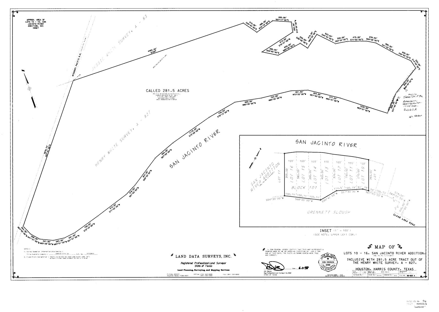
Harris County Sketch File 96

Print $426.00
- Digital $50.00
Harris County Sketch File 96
1938
Size 26.2 x 36.9 inches
Map/Doc 10484
You may also like
Map showing the John B. Pier Survey, Near Houston

Print $3.00
- Digital $50.00
Map showing the John B. Pier Survey, Near Houston
Size 11.9 x 17.8 inches
Map/Doc 478
General Highway Map, Jack County, Texas

Print $20.00
General Highway Map, Jack County, Texas
1961
Size 18.2 x 24.5 inches
Map/Doc 79532
Texas Aranzas-Bay [sic]
![145, Texas Aranzas-Bay [sic], General Map Collection](https://historictexasmaps.com/wmedia_w700/maps/145.tif.jpg)
Print $20.00
- Digital $50.00
Texas Aranzas-Bay [sic]
1832
Size 21.4 x 15.5 inches
Map/Doc 145
Sketch in Martin County Showing Survey 13, Block X

Print $2.00
- Digital $50.00
Sketch in Martin County Showing Survey 13, Block X
1908
Size 12.6 x 8.4 inches
Map/Doc 91286
Bandera County Sketch File 9

Print $2.00
- Digital $50.00
Bandera County Sketch File 9
Size 8.7 x 4.9 inches
Map/Doc 14009
Jasper County Rolled Sketch 1

Print $20.00
- Digital $50.00
Jasper County Rolled Sketch 1
Size 17.0 x 18.9 inches
Map/Doc 6346
Republic Counties. January 1, 1839

Print $20.00
Republic Counties. January 1, 1839
2020
Size 24.5 x 21.7 inches
Map/Doc 96312
Montague County

Print $20.00
- Digital $50.00
Montague County
1924
Size 46.4 x 33.7 inches
Map/Doc 77376
Harris County Working Sketch 73

Print $20.00
- Digital $50.00
Harris County Working Sketch 73
1959
Size 33.5 x 38.1 inches
Map/Doc 65965
Sectional map of Texas traversed by the Missouri, Kansas & Texas Railway, showing the crops adapted to each section, with the elevation and annual rainfall

Print $20.00
- Digital $50.00
Sectional map of Texas traversed by the Missouri, Kansas & Texas Railway, showing the crops adapted to each section, with the elevation and annual rainfall
Size 21.9 x 22.8 inches
Map/Doc 95818
Filisola Empresario Colony. October 15, 1831

Print $20.00
Filisola Empresario Colony. October 15, 1831
2020
Size 15.3 x 21.7 inches
Map/Doc 95995
United States Population Distribution by County and Territory, per the U.S. Census of 1900

United States Population Distribution by County and Territory, per the U.S. Census of 1900
2025
Size 8.5 x 11.0 inches
Map/Doc 97481